Information
Landmark: Almannagjá GorgeCity: Thingvellir
Country: Iceland
Continent: Europe
Almannagjá Gorge, Thingvellir, Iceland, Europe
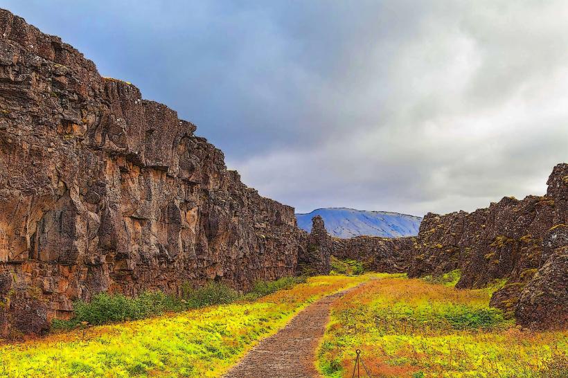
Almannagjá Gorge is a prominent rift valley located within Thingvellir National Park in southwestern Iceland. It marks the eastern boundary of the North American tectonic plate.
Visual Characteristics
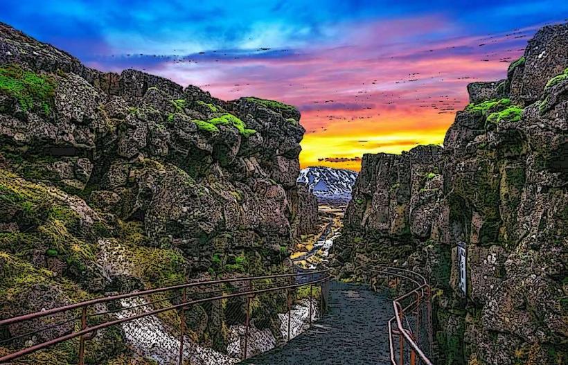
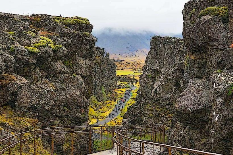
Almannagjá Gorge features sheer basalt rock walls, reaching heights of up to 70 meters. The gorge floor is composed of gravel and small stones, with a narrow stream, Flosagjá, flowing through it. The rock faces display dark grey and black hues, with some areas covered in moss and sparse vegetation.
Location & Access Logistics
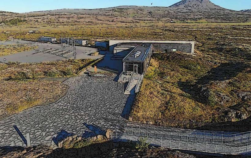
The gorge is located within Thingvellir National Park, approximately 45 kilometers northeast of Reykjavík. Access is via Route 36 (Þingvallavegur). A large parking area, P1, is situated directly adjacent to the gorge entrance, with a short walk to the main path. Public transport options are limited; most visitors arrive by private vehicle or organized tour bus.
Historical & Ecological Origin
Almannagjá Gorge is a geological rift valley formed by the divergence of the North American and Eurasian tectonic plates. This process, known as continental drift, has created a series of fissures and faults across the Thingvellir area over thousands of years. The gorge itself is a visible manifestation of this ongoing geological activity.
Key Highlights & Activities
Visitors can walk along the designated path through the gorge, observing the tectonic plate boundary. Photography of the rock formations and the Öxarárfoss waterfall (located at the northern end of the gorge) is a primary activity. Guided tours of Thingvellir National Park often include a walk through Almannagjá.
Infrastructure & Amenities
Restrooms are available at the Thingvellir National Park Visitor Center, located near the P1 parking area. The gorge itself offers limited natural shade from the high rock walls in certain sections. Cell phone signal (4G/5G) is generally reliable throughout the park. A small cafe and souvenir shop are located at the visitor center.
Best Time to Visit
The best time to visit for photography is during the morning or late afternoon when the sun casts long shadows and highlights the rock formations. The months of June to August offer the mildest weather conditions, with longer daylight hours. Winter visits (November to March) provide a snow-covered landscape but can involve icy paths. No tide requirements apply.
Facts & Legends
Historically, the path through Almannagjá was the route taken by chieftains and their entourages to the Althing, Iceland's ancient parliament, which convened at Thingvellir from 930 AD. A specific tip for visitors is to continue walking north through the gorge to reach Öxarárfoss, a waterfall that appears to flow "up" into the gorge due to a historical diversion.
Nearby Landmarks
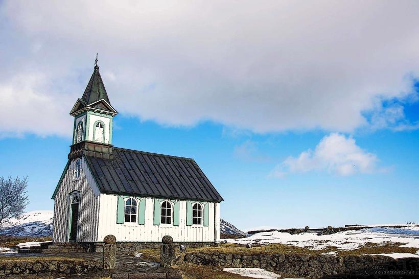
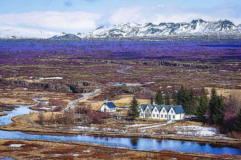
- Thingvellir Church: 0.5km South
- Lögberg (Law Rock): 0.7km South-East
- Silfra Fissure: 1.5km North-West
- Öxarárfoss Waterfall: 1.0km North
- Peningagjá (Money Gorge): 0.8km West