Information
Landmark: Auger FallsCity: Twin Falls
Country: USA Idaho
Continent: North America
Auger Falls, Twin Falls, USA Idaho, North America
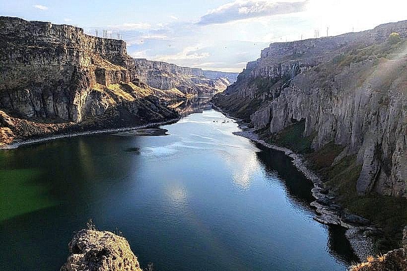
Auger Falls is a waterfall located on the Snake River within the city limits of Twin Falls, Idaho, USA.
Visual Characteristics
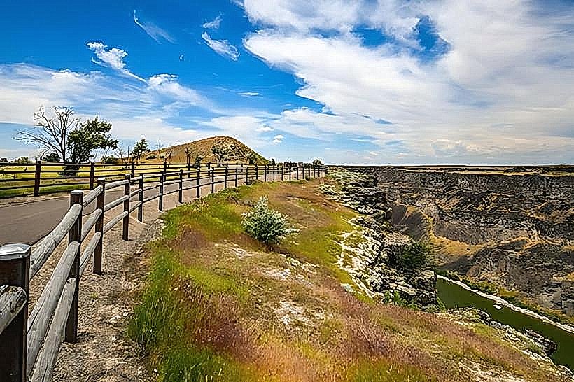
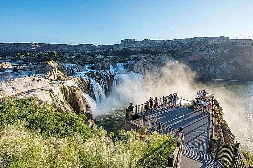
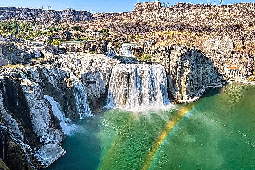
The falls are characterized by a series of cascades and drops over basalt rock formations. The Snake River's flow rate dictates the volume and appearance of the water, which can range from a powerful torrent to a more moderate flow. The surrounding canyon walls are composed of layered volcanic rock.
Location & Access Logistics
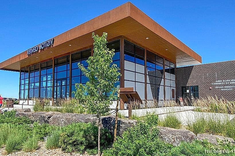
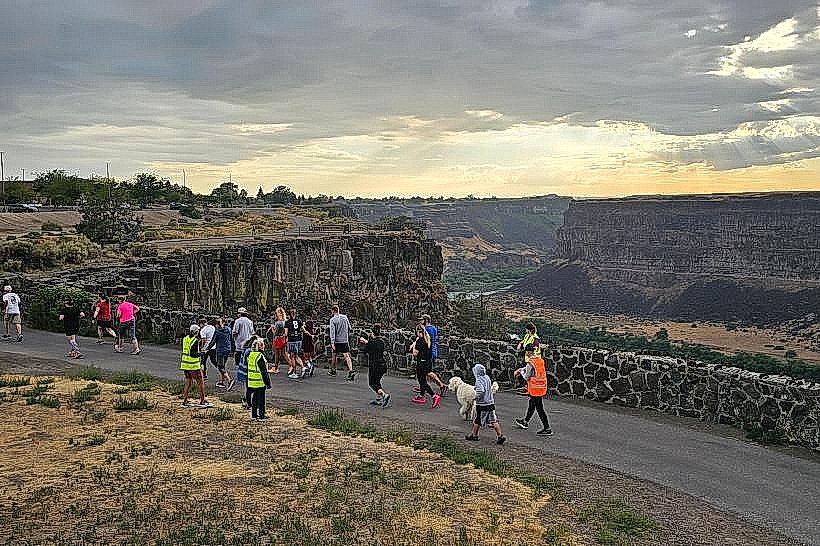
Auger Falls is situated approximately 3.2 kilometers (2 miles) west of the Twin Falls city center. Access is primarily via Falls Avenue, which becomes Shoshone Falls Road. Parking is available at designated overlooks along the road. Public transport options are limited; a taxi or rideshare service is the most direct alternative to private vehicle transport.
Historical & Ecological Origin
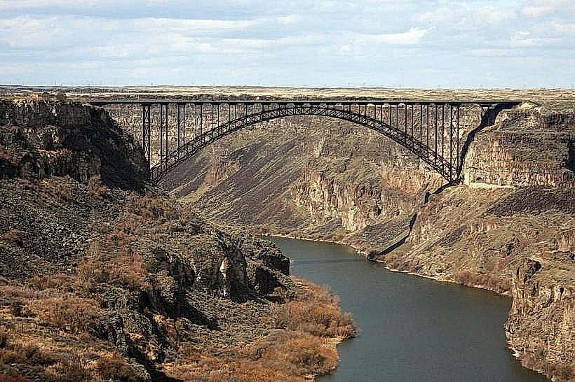
The falls are a natural geological feature formed by the erosive power of the Snake River over ancient basalt flows. The area is part of the Snake River Canyon, a significant geological formation in southern Idaho.
Key Highlights & Activities
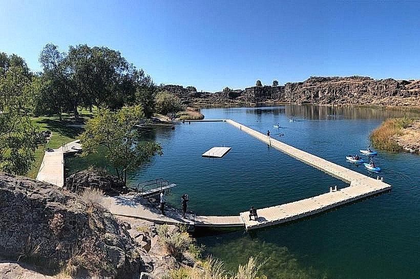
Observation of the falls from the canyon rim viewpoints is the primary activity. Hiking trails are present along the canyon rim, offering different perspectives. Photography is a common pursuit, particularly during periods of high water flow.
Infrastructure & Amenities
Restrooms are available at the main overlook areas. Shade is limited, with most viewing areas being exposed. Cell phone signal (4G/5G) is generally available. Food vendors are not typically present at the immediate falls site, but are available in the nearby city of Twin Falls.
Best Time to Visit
For photography, early morning or late afternoon light provides optimal illumination of the canyon and falls. The best months for viewing are typically spring (April-May) when snowmelt increases river flow, and early summer. Water flow can be significantly reduced in late summer and fall.
Facts & Legends
Auger Falls is part of the larger Snake River Canyon system, which was explored by Lewis and Clark. A unique aspect is the potential for viewing the falls from multiple vantage points along the canyon rim, offering varied perspectives of the water's descent.
Nearby Landmarks
- Shoshone Falls (1.6km East)
- Perrine Bridge (3.2km East)
- Canyon Springs Golf Course (2.4km Southeast)
- Twin Falls City Park (3.5km East)