Information
Landmark: Shoshone Falls ParkCity: Twin Falls
Country: USA Idaho
Continent: North America
Shoshone Falls Park, Twin Falls, USA Idaho, North America
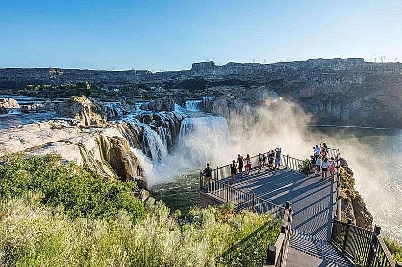
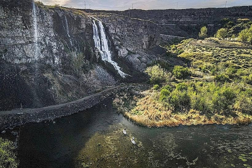
Shoshone Falls Park is a public recreation area located in Twin Falls, Idaho, USA, featuring a significant waterfall on the Snake River.
Visual Characteristics
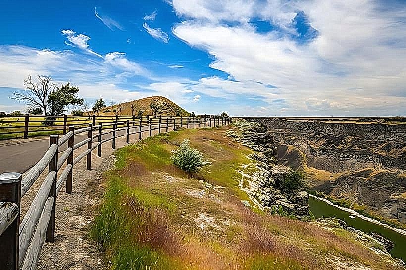
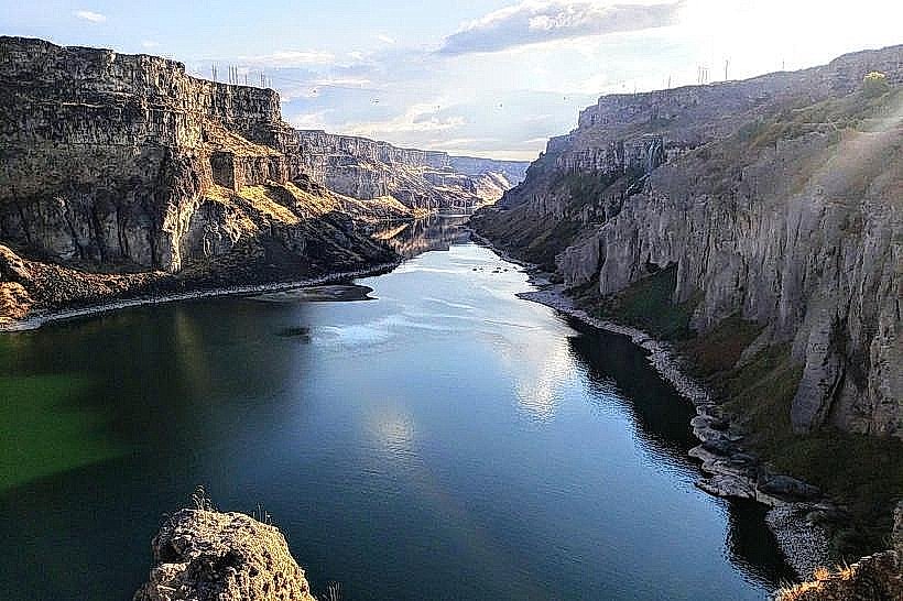
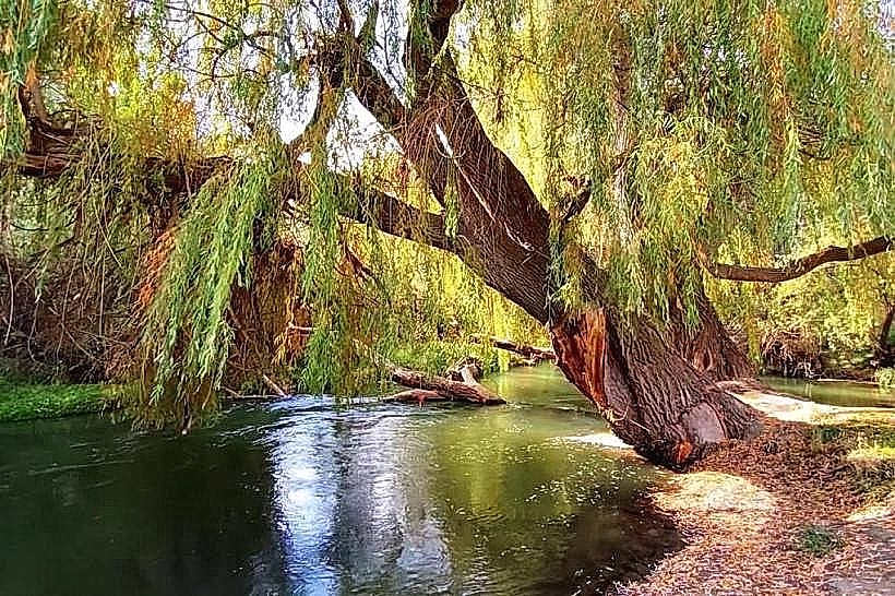
The falls are composed of basalt rock formations, with the primary cascade measuring approximately 961 feet (293 meters) in width and a vertical drop of 212 feet (65 meters). The water exhibits a white, frothy appearance as it descends. The surrounding parkland consists of arid vegetation typical of the high desert, with scrub brush and grasses.
Location & Access Logistics
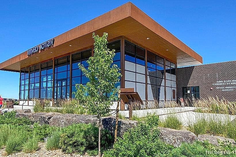
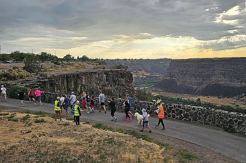
The park is situated approximately 3 miles east of downtown Twin Falls. Access is via Shoshone Falls Road, which branches off from Washington Street East. Ample paved parking is available at designated lots within the park. Public transportation options to the park entrance are limited; the Twin Falls Transit bus system does not directly service the park.
Historical & Ecological Origin
Shoshone Falls is a natural formation created by the erosive power of the Snake River over ancient basalt flows. Historically, the falls were a significant obstacle for westward expansion and early settlers. The Snake River is a major tributary of the Columbia River, originating in the Teton Range.
Key Highlights & Activities
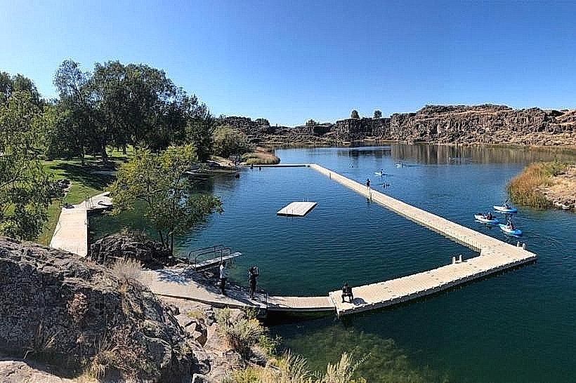
Observation decks provide direct views of the falls. Hiking trails are available along the canyon rim. Photography is a common activity, particularly during sunrise and sunset. Picnicking is permitted in designated areas.
Infrastructure & Amenities
Restrooms are available within the park. Shaded picnic tables are provided. Cell phone signal (4G/5G) is generally available. No on-site food vendors operate within the park; visitors should bring their own provisions or plan to eat in Twin Falls.
Best Time to Visit
For optimal water flow, late spring (April-May) is recommended, coinciding with snowmelt. Mid-morning to late afternoon offers consistent lighting for photography. The park is accessible year-round, though winter conditions may affect trail accessibility.
Facts & Legends
During periods of high flow, Shoshone Falls can be wider and have a greater volume of water than Niagara Falls. The falls were once a significant hydroelectric power source before the construction of upstream dams altered river flow.
Nearby Landmarks
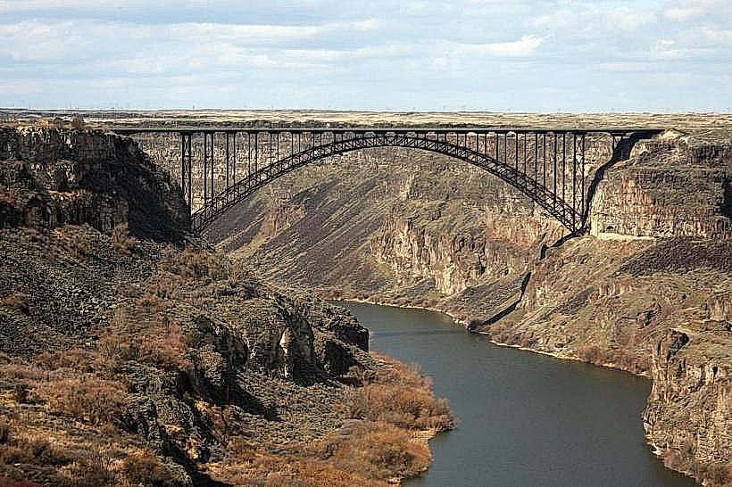
- Perrine Bridge (1.5km West)
- Canyon Springs Golf Course (2.0km Southwest)
- Twin Falls City Park (3.5km West)
- Herrett Center for Arts and Science (4.0km West)