Information
Landmark: Shoshone FallsCity: Twin Falls
Country: USA Idaho
Continent: North America
Shoshone Falls, Twin Falls, USA Idaho, North America
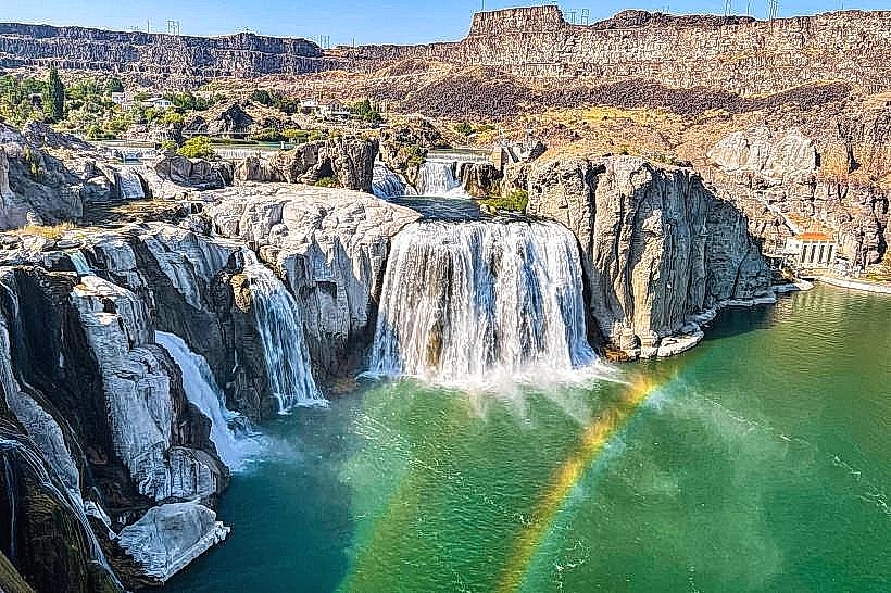
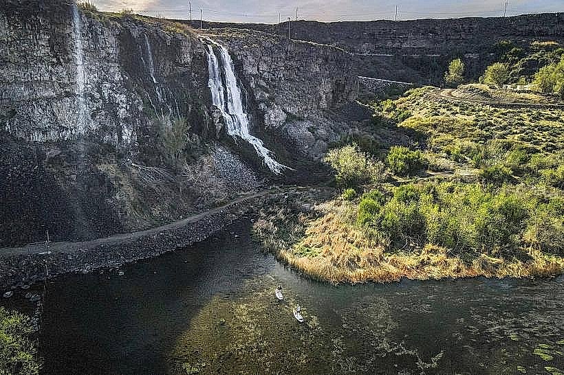
Shoshone Falls is a waterfall located on the Snake River in Twin Falls, Idaho, USA.
It is often referred to as the "Niagara of the West" due to its impressive scale and flow.
Visual Characteristics
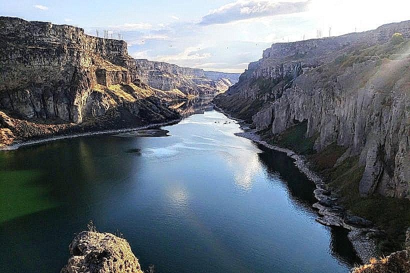
The falls span approximately 900 feet (274 meters) in width and drop 212 feet (65 meters). The water cascades over a basalt rock formation. The volume of water varies seasonally, impacting the visual density of the falls. During peak flow, a significant mist is generated.
Location & Access Logistics
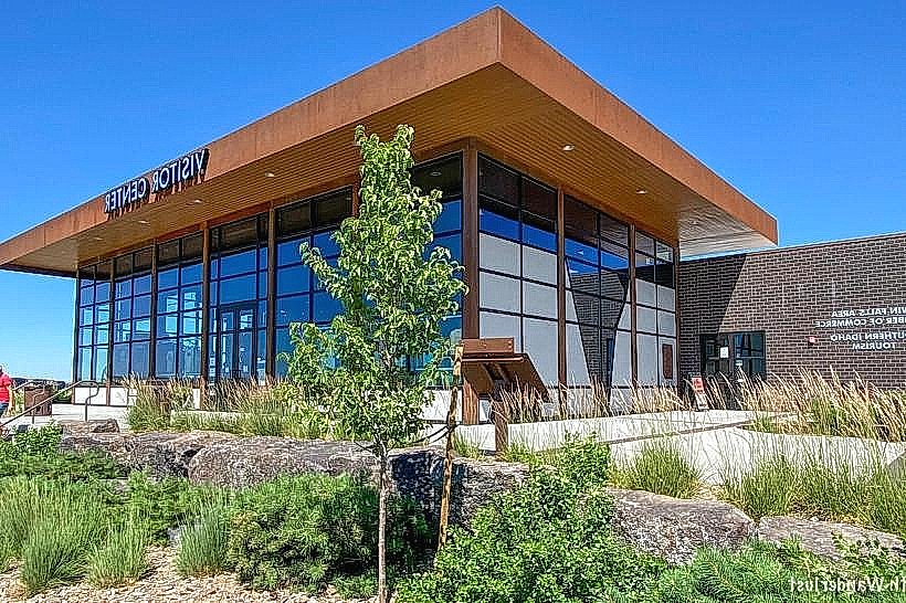
Shoshone Falls is situated approximately 3 miles east of downtown Twin Falls, Idaho. Access is via Shoshone Falls Road, which is a paved public road. Parking is available at designated lots near the overlook areas. No public transport directly serves the falls; private vehicle or taxi is required.
Historical & Ecological Origin
The falls are a natural geological feature formed by the erosive power of the Snake River over basalt lava flows. The river's flow is regulated by upstream dams, primarily the Milner Dam, which influences the volume of water observed at the falls. The surrounding canyon is composed of ancient volcanic rock.
Key Highlights & Activities
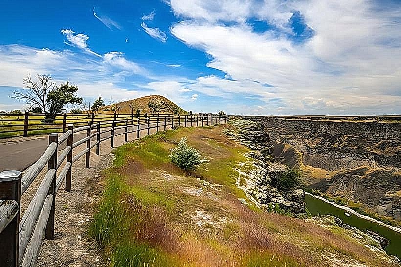
Observation decks provide views of the falls. Hiking trails are present along the canyon rim, offering different vantage points. Photography is a common activity, particularly during sunrise and sunset. Picnicking is permitted in designated areas.
Infrastructure & Amenities
Restrooms are available at the main overlook area. Limited shade structures are present. Cell phone signal (4G/5G) is generally available. No food vendors are located directly at the falls; visitors should bring their own provisions or utilize facilities in Twin Falls.
Best Time to Visit
The best time of day for photography is during the golden hours of sunrise and sunset for optimal lighting. The peak flow for the falls typically occurs in late spring (May and June) due to snowmelt. Water levels can be significantly reduced in late summer and fall.
Facts & Legends
The Shoshone people historically utilized the Snake River for fishing and travel, with the falls representing a significant natural barrier. A unique tip for visitors is to check the Twin Falls Canal Company website for current water flow rates, as these can be adjusted for irrigation purposes.
Nearby Landmarks
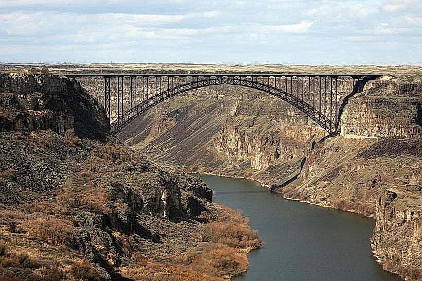
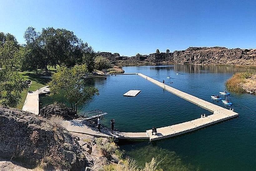
- Perrine Bridge (0.8km West)
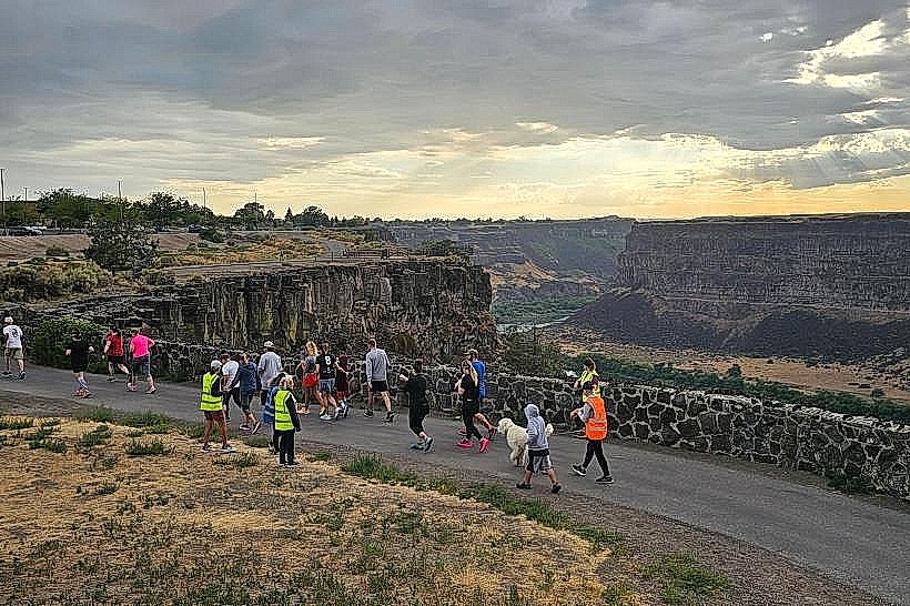
- Canyon Rim Trail (Adjacent)
- Twin Falls City Park (2.5km West)
- Herrett Center for Arts and Science (3.5km West)
- St. Luke's Magic Valley Regional Hospital (4.0km West)