Information
Landmark: Snake River CanyonCity: Twin Falls
Country: USA Idaho
Continent: North America
Snake River Canyon, Twin Falls, USA Idaho, North America
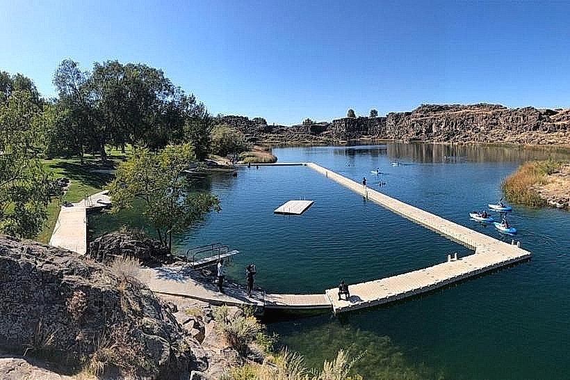
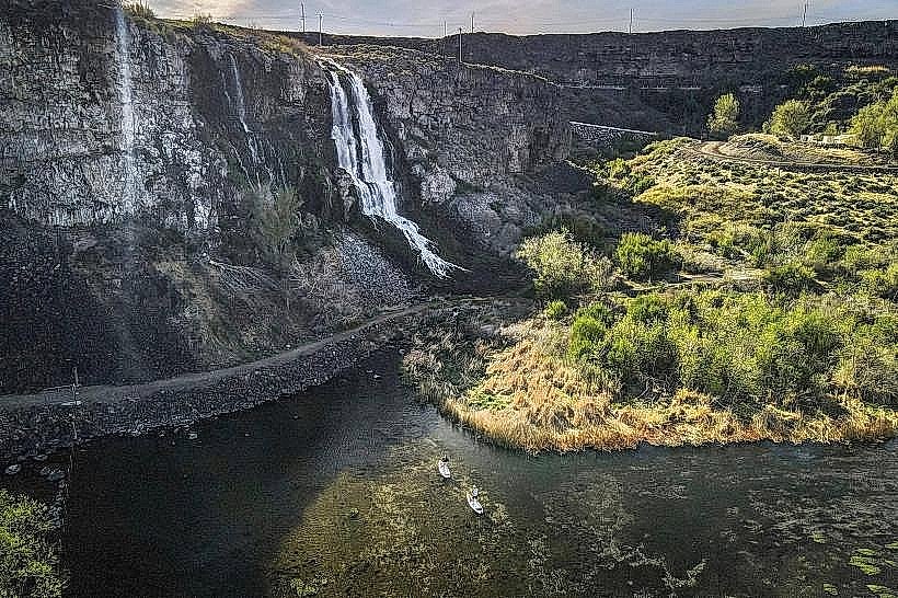
Snake River Canyon is a geological feature located in Twin Falls, Idaho. It is a significant canyon carved by the Snake River.
Visual Characteristics
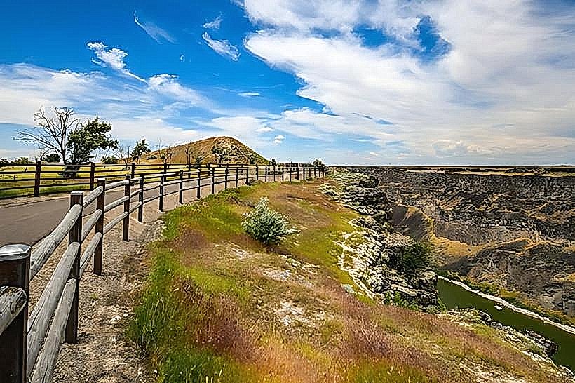
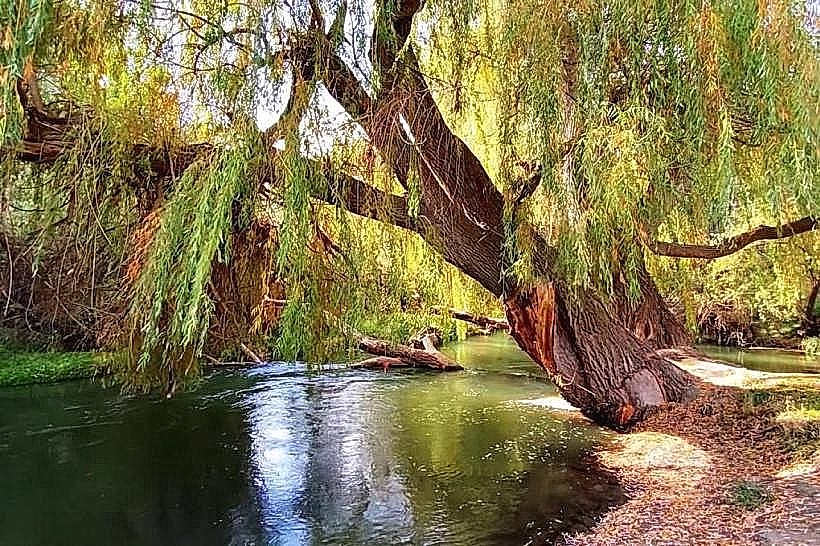
The canyon walls are primarily composed of basalt rock, exhibiting layered formations. The canyon depth averages 400-500 feet, with widths varying from 0.5 to 1 mile. The Snake River flows at the canyon's base, its color dependent on sediment load, typically appearing brown or greenish. Vegetation along the rim and upper walls consists of sagebrush, grasses, and scattered juniper trees.
Location & Access Logistics
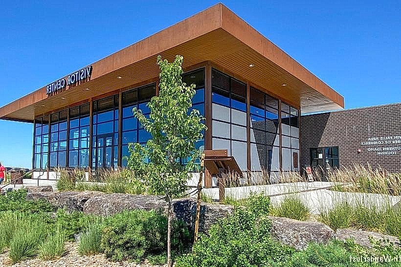
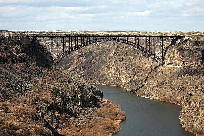
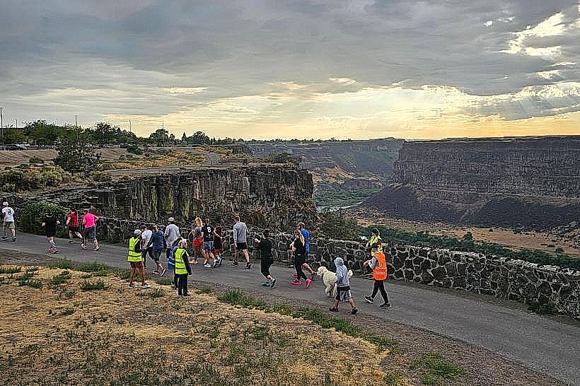
Snake River Canyon is situated on the southern edge of Twin Falls, Idaho. Access is directly from the city. State Highway 93 crosses the canyon via the Perrine Bridge, offering viewpoints. Several access roads lead to parking areas along the rim, including Canyon Rim Drive. Public transport within Twin Falls does not directly service canyon viewpoints; personal vehicles are the primary mode of access. Parking is available at designated overlooks and trailheads.
Historical & Ecological Origin
The canyon was formed by the erosive power of the Snake River over millions of years, a process accelerated by volcanic activity and tectonic shifts in the region. The basalt rock formations are remnants of ancient lava flows. The canyon is part of the Great Basin shrub steppe ecosystem.
Key Highlights & Activities
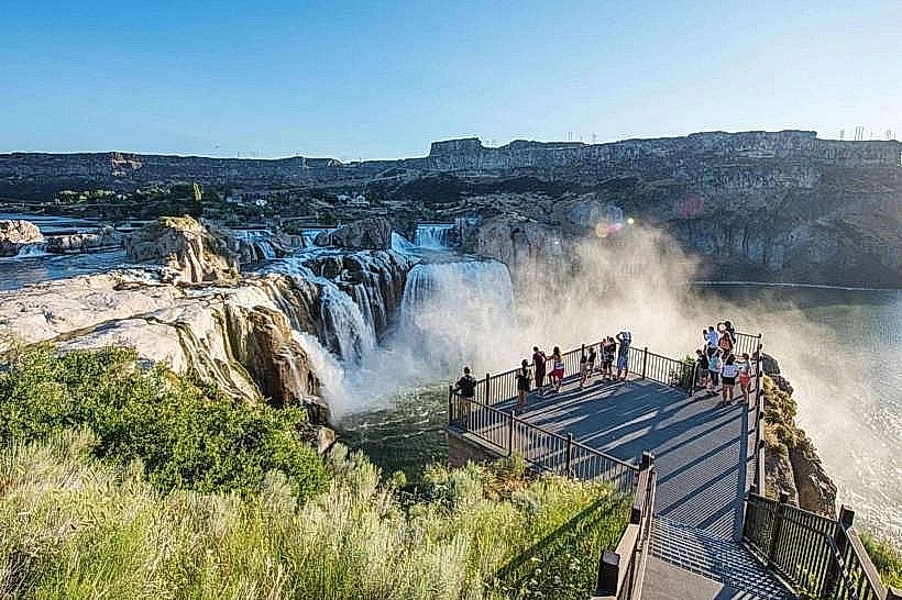
Observation of the canyon from multiple viewpoints along the rim is a primary activity. Hiking trails are present on both the north and south rims, offering varying distances and difficulty levels. BASE jumping is permitted from the Perrine Bridge under specific conditions and regulations. Birdwatching, particularly for raptors, is possible. Photography is a common activity, especially during sunrise and sunset.
Infrastructure & Amenities
Restrooms are available at designated visitor areas and parks along the rim. Shade is limited, primarily found in developed picnic areas. Cell phone signal (4G/5G) is generally available along the rim roads and at main viewpoints. Food vendors are not typically located within the canyon itself, but are available in Twin Falls city limits near access points.
Best Time to Visit
For photography, early morning (sunrise) and late afternoon (sunset) provide optimal lighting conditions due to the angle of the sun on the canyon walls. The best months for weather are typically May through October, offering milder temperatures. No specific tide requirements apply.
Facts & Legends
The Perrine Bridge is one of only two bridges in the United States where BASE jumping is allowed year-round without a permit. Evel Knievel famously attempted to jump the canyon in 1974, though his rocket-powered cycle failed to clear the chasm.
Nearby Landmarks
- Perrine Bridge (0.2km West)
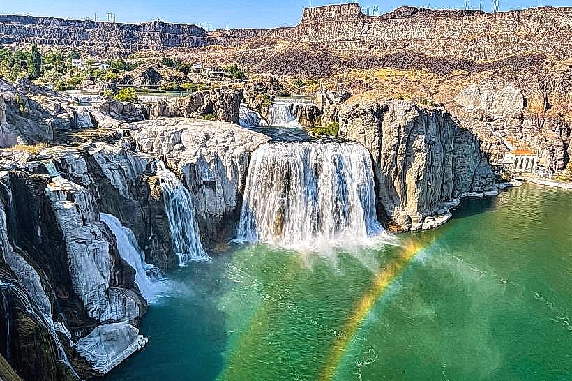
- Shoshone Falls (5km East)
- Twin Falls City Park (1km North)
- Herrett Center for Arts and Science (3km North)
- Canyon Springs Golf Course (2km Northwest)