Information
Landmark: Rock Creek ParkCity: Twin Falls
Country: USA Idaho
Continent: North America
Rock Creek Park, Twin Falls, USA Idaho, North America
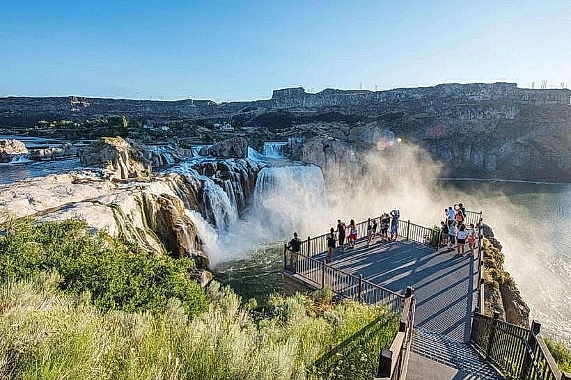
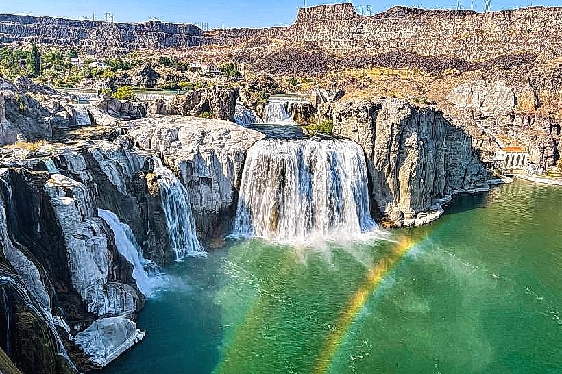
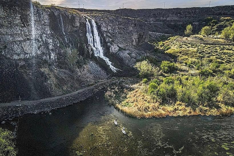
Rock Creek Park is a municipal park located in Twin Falls, Idaho. It features a significant canyon and the Shoshone Falls waterfall.
Visual Characteristics
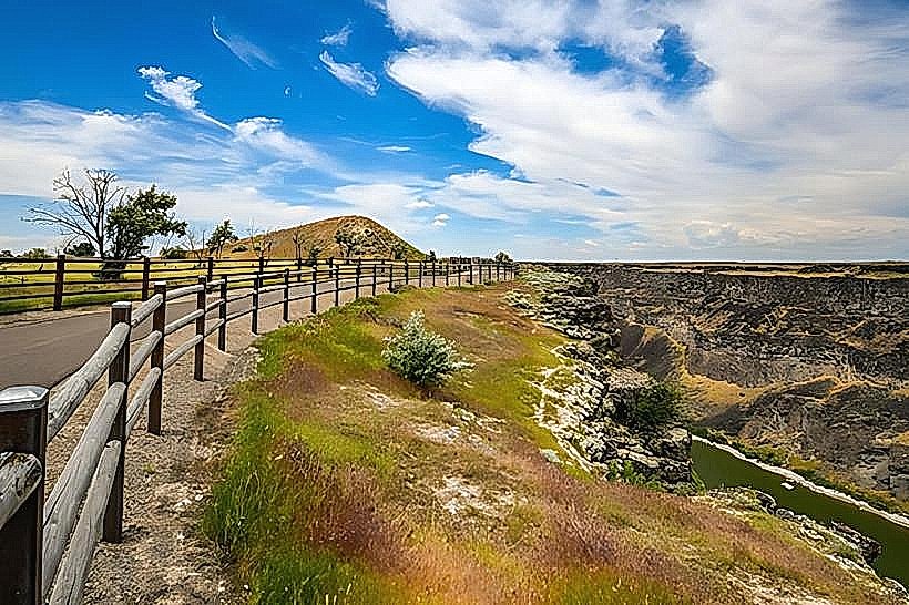
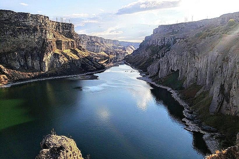
The park's primary feature is the Snake River Canyon, a basalt rock formation with vertical walls reaching approximately 400-500 feet in height. Shoshone Falls is a tiered waterfall with a crest width of 900 feet, dropping 212 feet. The water color is typically a murky brown due to sediment. Vegetation within the canyon is sparse, consisting of drought-resistant shrubs and grasses. The canyon floor is composed of basalt rock and gravel.
Location & Access Logistics
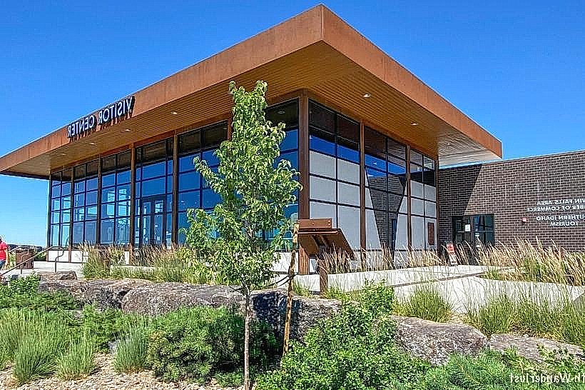
Rock Creek Park is situated on the eastern edge of Twin Falls, Idaho. Access is via Shoshone Falls Road, which branches off from State Highway 93. The park is approximately 3 miles east of the Twin Falls city center. Ample paved parking is available at designated viewpoints, including a large lot at the main Shoshone Falls overlook. No public transport directly serves the park; private vehicle is the primary access method.
Historical & Ecological Origin
The canyon was carved by the Snake River over millennia through basalt lava flows. Shoshone Falls is a natural waterfall, though its flow rate is significantly impacted by upstream irrigation diversions. The area was historically utilized by Native American tribes. The park was established to preserve the canyon and waterfall for public access and recreation.
Key Highlights & Activities
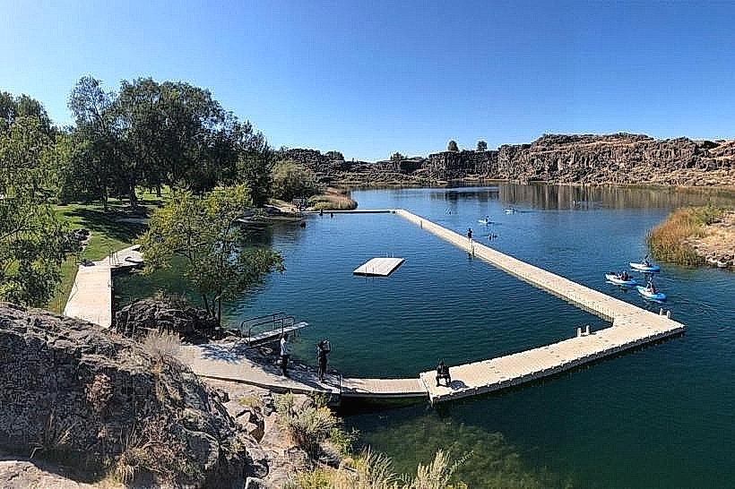
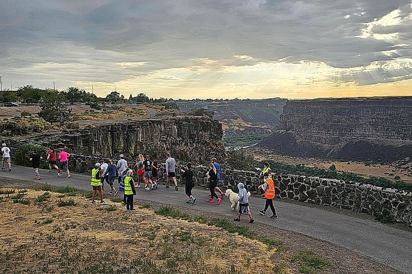
Viewing Shoshone Falls from the overlooks is the primary activity. Hiking trails are available along the canyon rim, offering different perspectives. The Canyon Rim Trail provides paved walking paths. Photography is a common activity, particularly during sunrise and sunset. Picnicking is permitted in designated areas.
Infrastructure & Amenities
Restrooms are available at the main Shoshone Falls parking area. Shade structures are present at some picnic sites. Cell phone signal (4G/5G) is generally available within the park. No food vendors operate within the park itself; visitors typically bring their own provisions or access dining options in Twin Falls.
Best Time to Visit
For optimal waterfall viewing, the spring months (April-May) generally offer the highest water flow, prior to significant irrigation diversions. Mid-morning to late afternoon provides direct sunlight on the falls. For photography, early morning or late afternoon light is preferable for reduced glare and warmer tones.
Facts & Legends
A unique historical fact is that Shoshone Falls was once considered a potential site for a hydroelectric dam, a proposal that was ultimately abandoned. The falls were a significant landmark for westward travelers on the Oregon Trail. A specific tip for visitors is to check the Twin Falls Canal Company website for current water flow information, as it fluctuates seasonally.
Nearby Landmarks
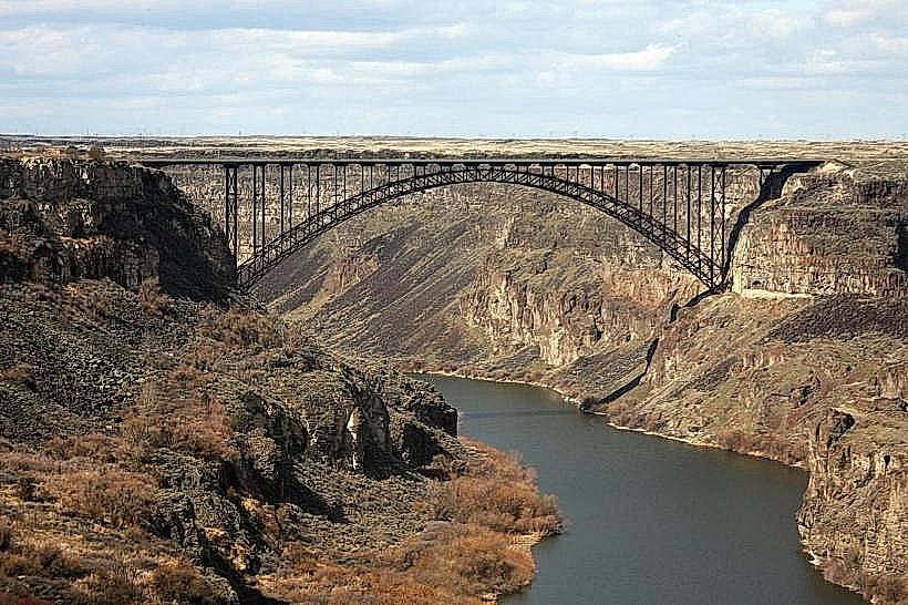
- Perrine Bridge (1.5km West)
- Twin Falls City Park (2.0km West)
- Herrett Center for Arts and Science (3.5km West)
- Gritman Park (4.0km West)