Information
Landmark: Bandelier National MonumentCity: Santa Fe
Country: USA New Mexico
Continent: North America
Bandelier National Monument, Santa Fe, USA New Mexico, North America
Bandelier National Monument preserves Ancestral Puebloan cliff dwellings and mesa top sites in northern New Mexico. It is located approximately 70 miles northwest of Santa Fe.
Visual Characteristics
The monument features volcanic tuff cliffs, canyons, and mesas. The cliff dwellings are carved directly into the soft volcanic rock, forming alcoves and rooms. The Frijoles Canyon, a central feature, contains a stream and riparian vegetation. Rock colors range from tan to reddish-brown.
Location & Access Logistics
Access to Bandelier National Monument is via State Road 4 (NM-4) from the north or south. The main entrance is located near Los Alamos. From Santa Fe, take US-84/285 North to Espanola, then NM-68 South to NM-503 West, which connects to NM-4. The drive from Santa Fe is approximately 1.5 to 2 hours. A free shuttle bus operates within the monument during peak season (typically April through October) from the visitor center to the Frijoles Canyon area. Parking is available at the visitor center and designated lots, though it can be limited during busy periods.
Historical & Ecological Origin
The Ancestral Pueblo people inhabited this area from approximately 1150 to 1600 CE. They utilized the soft volcanic tuff to carve homes, storage areas, and ceremonial sites into the cliff faces. The geological formation is primarily Bandelier Tuff, a volcanic ash deposit from the Valles Caldera eruption approximately 1.25 million years ago.
Key Highlights & Activities
Visitors can explore the Main Loop Trail in Frijoles Canyon, which includes access to the Alcove House (requires climbing ladders) and the Long House. Hiking trails range from paved, accessible paths to more strenuous backcountry routes. Ranger-led programs are offered seasonally. Photography of the cliff dwellings and canyon landscapes is a primary activity.
Infrastructure & Amenities
Restrooms are available at the visitor center and in Frijoles Canyon. Shade is present along the trails within Frijoles Canyon, particularly under the cliff overhangs. Cell phone signal is intermittent to non-existent within the canyons. Limited food and drink options may be available at the visitor center or nearby towns; visitors are advised to bring their own supplies.
Best Time to Visit
The best time of day for photography is generally in the morning or late afternoon when the light casts shadows on the cliff dwellings. The months of April through October offer the most favorable weather conditions for hiking and exploring. The shuttle bus operates during these months. Winter visits are possible but may involve snow and ice on trails.
Facts & Legends
A unique aspect of the cliff dwellings is the presence of small, hand-carved handholds and footholds used to access higher levels, demonstrating advanced engineering by the Ancestral Puebloans. Local oral traditions speak of the spirits of the ancient inhabitants still residing within the canyons.
Nearby Landmarks
- Los Alamos National Laboratory (10km North)
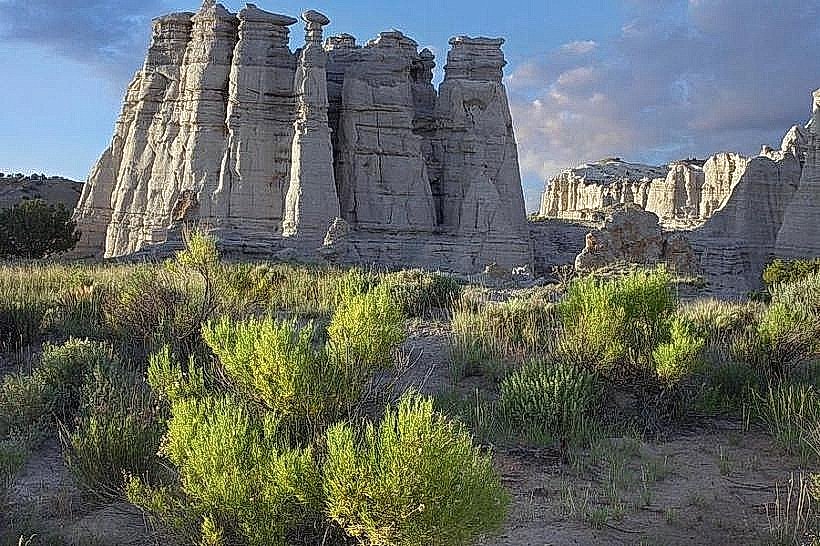
- Kasha-Katuwe Tent Rocks National Monument (45km South)
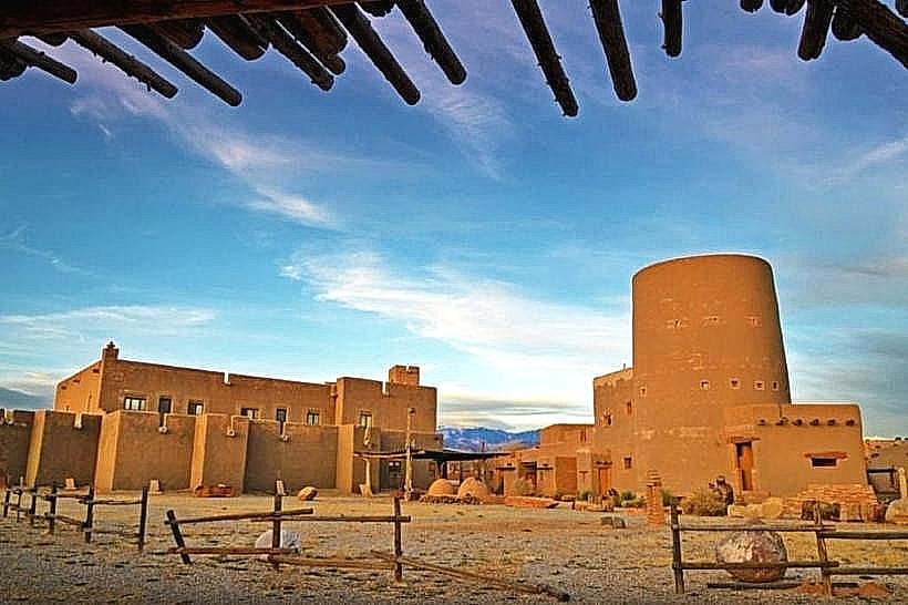
- Puye Cliff Dwellings (20km West)
- Valles Caldera National Preserve (30km West)