Information
Landmark: Barcode ProjectCity: Oslo
Country: Norway
Continent: Europe
Barcode Project, Oslo, Norway, Europe
Visual Characteristics
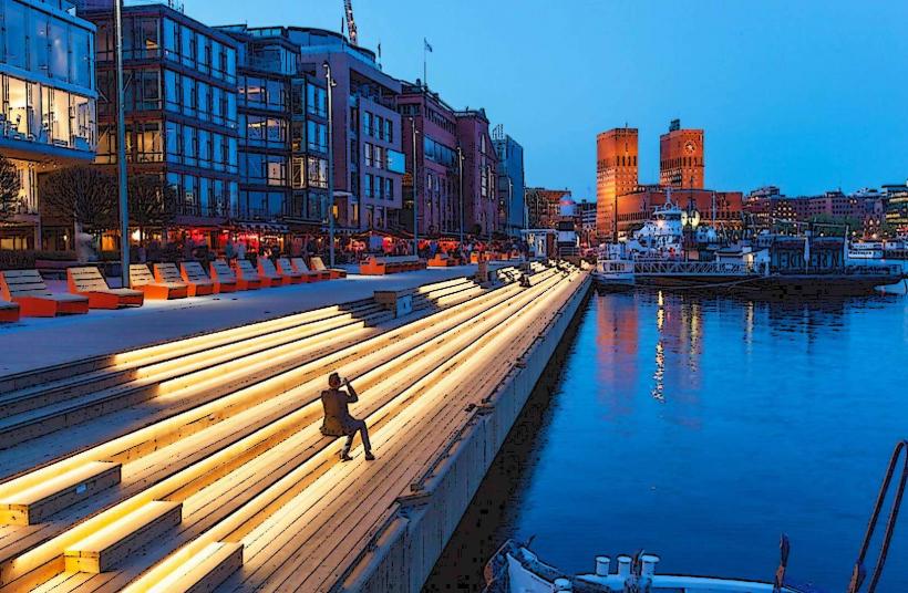
The Barcode Project consists of twelve slender, rectangular high-rise buildings. Each building features distinct architectural designs, varying in height from 50 to 100 meters, and utilizes materials such as glass, steel, and concrete. The facades often incorporate reflective surfaces and varied window patterns, creating a dynamic visual effect. The structures are spaced to allow views of the fjord and city through the gaps, resembling a barcode.
Location & Access Logistics
The Barcode Project is located in the Bjørvika district, directly east of Oslo Central Station (Oslo S). It is approximately 0.5 km east of the city center. Access by car is via Dronning Eufemias gate, which runs directly through the development. Underground parking facilities are available beneath the buildings, accessible from local streets. Public transport is highly accessible, with Oslo S serving as a major hub for regional and national trains, trams (lines 11, 12, 13, 17, 18, 19), and numerous bus routes. The Jernbanetorget metro station is also adjacent.
Historical & Ecological Origin
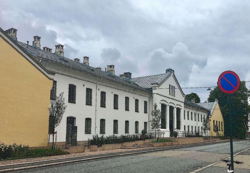
The Barcode Project was developed as part of the larger Bjørvika urban renewal plan, transforming former port and industrial land. Construction began in 2003, with the first buildings completed in 2007 and the final structures finished around 2016. Key architectural firms involved include Dark Arkitekter, A-lab, and MVRDV. Its original purpose was to create a new financial and commercial district, integrating offices, residences, and cultural institutions, while reconnecting the city center with the waterfront.
Key Highlights & Activities
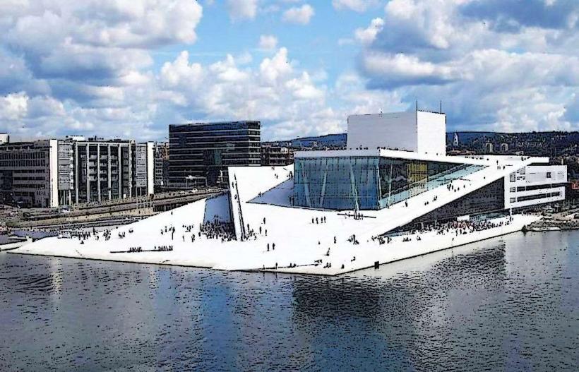
The area facilitates pedestrian movement along Dronning Eufemias gate and waterfront promenades. Ground floors of many buildings house retail spaces and restaurants. Public art installations are present throughout the development. The adjacent Oslo Opera House offers cultural performances.
Infrastructure & Amenities
Public restrooms are available within the commercial buildings and the nearby Oslo Opera House. Limited natural shade is provided by the spacing of the buildings, with some public plazas offering seating. Cell phone signal (4G/5G) is consistently strong throughout the area. Numerous food vendors, cafes, and restaurants are located on the ground floors of the Barcode buildings and in the surrounding Bjørvika district.
Best Time to Visit
The Barcode Project is accessible year-round. For photography, late afternoon offers optimal lighting as the sun reflects off the glass facades. Summer months (June-August) provide the mildest weather for outdoor exploration. Winter months (December-February) can offer unique photographic opportunities with snow and city lights. No tide requirements apply.
Facts & Legends
The project's name, "Barcode," refers to the visual effect created by the varying heights and widths of the buildings, resembling a barcode when viewed from a distance, particularly from the fjord or the Ekeberg hills. This design choice was initially controversial but has become a defining feature of modern Oslo. A specific tip for visitors is to view the Barcode from the pedestrian bridge connecting Oslo S to the Opera House for a comprehensive perspective of its linear arrangement.
Nearby Landmarks
- Oslo Opera House: 0.2km West
- Munch Museum: 0.5km East
- Deichman Bjørvika (Main Public Library): 0.3km North-West
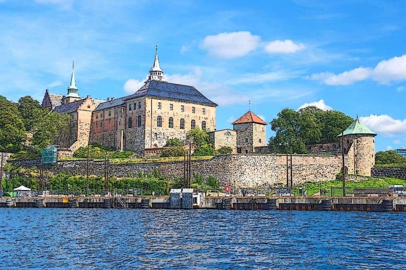
- Akershus Fortress: 1.5km West
- Oslo Cathedral: 1.0km North-West