Information
Landmark: Bethanie Historical MissionCity: Luderitz
Country: Namibia
Continent: Africa
Bethanie Historical Mission, Luderitz, Namibia, Africa
The Bethanie Historical Mission (located in the village of Bethanie, Namibia) is one of the most significant colonial and religious landmarks in the country. It marks the site of the first permanent mission station in South West Africa and contains the oldest surviving building in Namibia.
Visual Characteristics
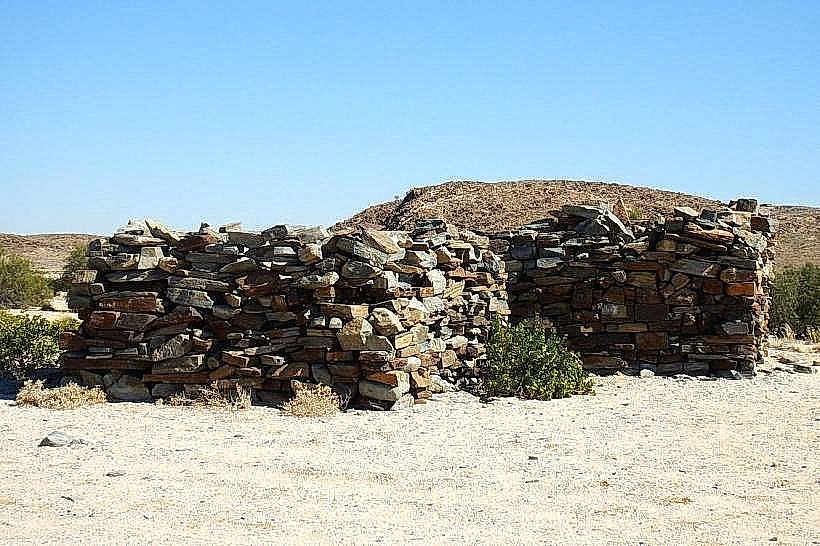
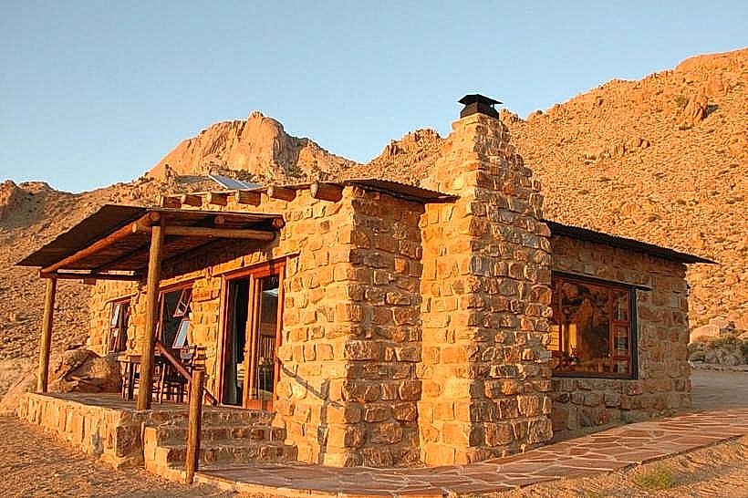
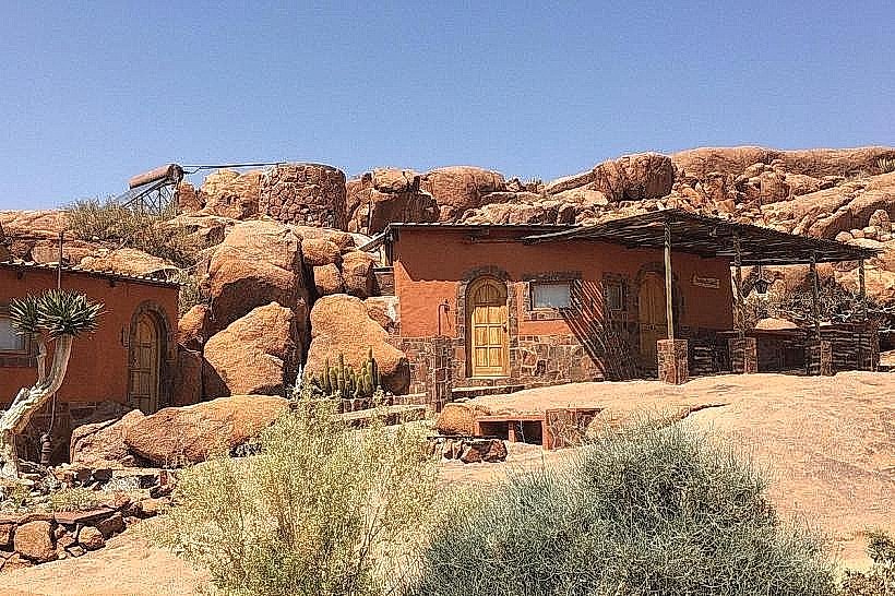
The mission complex is defined by low-slung, thick-walled stone structures designed for thermal regulation in the extreme Nama Karoo heat. The centerpiece is the Schmelenhaus, a modest, one-roomed cottage made of layered flat stones and clay bricks, finished with a thatched roof. Nearby stands the Evangelical Lutheran Church, a larger stone structure featuring prominent twin steeples (though originally built with two, it has undergone various renovations). The complex is surrounded by a small, fenced cemetery with weathered German and missionary headstones.
Location & Access Logistics
Address: Situated in the center of Bethanie, off the C14 highway, approximately 130 km west of Keetmanshoop.
Access: The mission is easily reached via the town's main street. It is a common stop for travelers moving between the Fish River Canyon and Lüderitz.
Status: The Schmelenhaus was declared a National Monument on February 1, 1952, and currently serves as a small local museum.
Historical & Ecological Origin
The mission was founded in 1814 by Reverend Heinrich Schmelen of the London Missionary Society (LMS).
The Schmelenhaus (1814): Believed to be the oldest existing European-style building in Namibia. It was built by Schmelen with the help of the local Nama people at a spring called ǀUiǂgandes (Klipfontein).
The Mission Church (1859): After the LMS left, the Rhenish Missionary Society took over. Missionary Herrmann Heinrich Kreft began building the stone church in 1859, which became one of the first formal mission churches in the territory.
Political Significance: Bethanie was the site where the first land sale took place in 1883 between Nama Chief Josef Frederiks II and Adolf Lüderitz’s agent, Heinrich Vogelsang, eventually leading to the establishment of German South West Africa.
Key Highlights & Activities
Schmelenhaus Museum: Contains a collection of missionary artifacts, old Bibles, and historical photographs detailing the early interaction between missionaries and the Nama people.
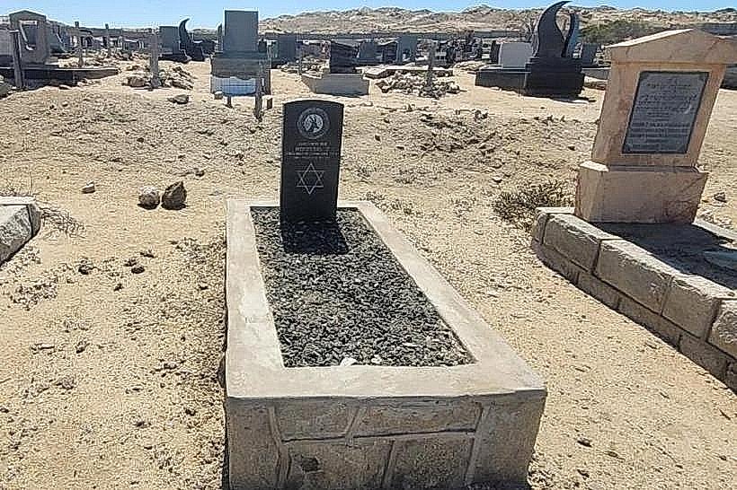
Mission Cemetery: Final resting place of several early missionaries, including Herrmann Heinrich Kreft and Johannes Bam.
Architectural Study: Observation of early "contact architecture"-a hybrid of European masonry and local materials like camelthorn beams and cow-dung plaster.
The Main Spring: The original water source that prompted the settlement's location is still visible near the mission complex.
Infrastructure & Amenities
The village of Bethanie provides basic services:
Accommodation: The Bethanie Guest House (a former hotel/inn) is located within walking distance of the mission.
Supplies: Small general stores and a fuel station are available in the village.
Connectivity: 3G/4G mobile signal is stable within the village limits but drops off immediately upon entering the surrounding desert roads.
Best Time to Visit
The winter months (May to August) are recommended to avoid the intense summer heat, which can exceed 40°C in the Bethanie basin. The mission site is best photographed in the morning light when the stone textures of the Schmelenhaus are most prominent.
Facts & Legends
Legend says Heinrich Schmelen's wife, Zara Schmelen (a Nama woman), was the primary translator for the first Nama-language Bible, as Schmelen struggled with the linguistic complexities of the "click" language. A specific technical detail: the Schmelenhaus was burned down in the 1830s and rebuilt from the original foundations by missionary Hans Christian Knudsen in 1842.
Nearby Landmarks
Josef Frederiks' House: 0.5 km (where the land sale to Lüderitz was signed)
Lentia Lutheran Church (1899): 0.3 km
Naute Dam: 85 km South-East
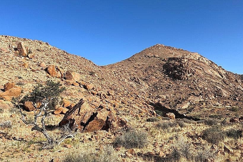
Schwarzrand Escarpment: 40 km West