Information
Landmark: Bitterroot TrailCity: Missoula
Country: USA Montana
Continent: North America
Bitterroot Trail, Missoula, USA Montana, North America
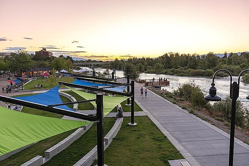
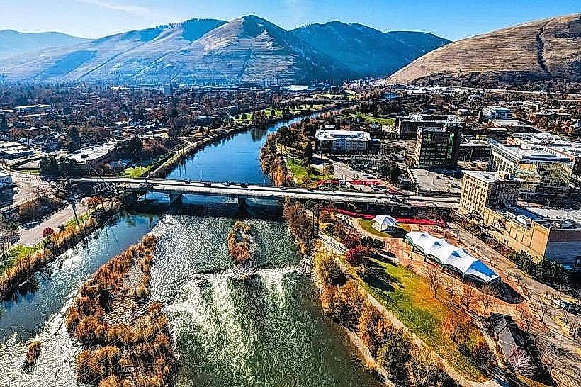
The Bitterroot Trail is a paved multi-use pathway located in Missoula, Montana. It follows the Bitterroot River for a significant distance, connecting various points within the city and its surrounding areas.
Visual Characteristics
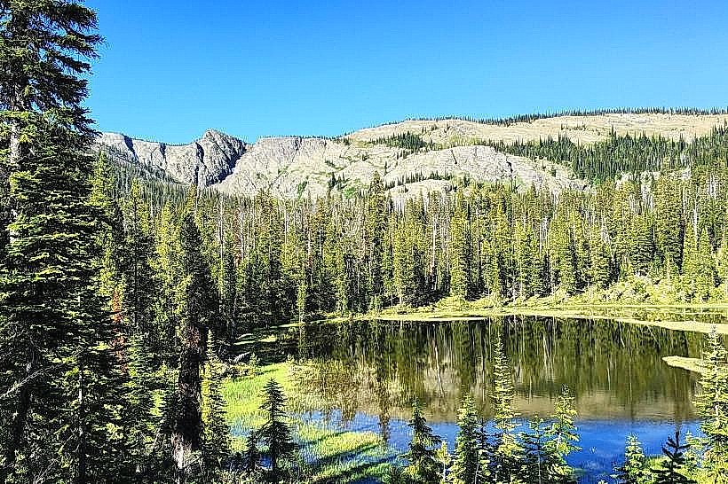
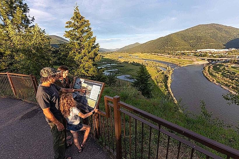
The trail surface is primarily asphalt, measuring approximately 10 feet in width. It is bordered by natural vegetation, including cottonwood trees and various riparian plants. The Bitterroot River is visible along much of its length, with water color varying from clear to silty depending on recent precipitation. The terrain is generally flat with some gentle inclines.
Location & Access Logistics
The Bitterroot Trail begins near downtown Missoula, with primary access points at McCormick Park (300 W Railroad St) and the Southgate Mall (2901 S Reserve St). The trail extends approximately 12 miles south from Missoula towards Hamilton. Parking is available at designated trailheads and public parks along the route. Public transportation is accessible via the Mountain Line bus system, with several routes stopping near trail access points, including Route 1 (Southgate/Reserve) and Route 14 (Riverfront).
Historical & Ecological Origin
The Bitterroot Trail was developed on a former railroad corridor, with construction of the trail beginning in the late 1990s and continuing in phases. The corridor itself was historically used by the Northern Pacific Railway. Ecologically, the trail traverses a river valley ecosystem characterized by riparian habitats and associated flora and fauna.
Key Highlights & Activities
Activities include cycling, running, walking, and inline skating. Birdwatching is common along the river. The trail provides access to several city parks, including McCormick Park and Fort Missoula Regional Park. Fishing is permitted in the Bitterroot River at designated access points.
Infrastructure & Amenities
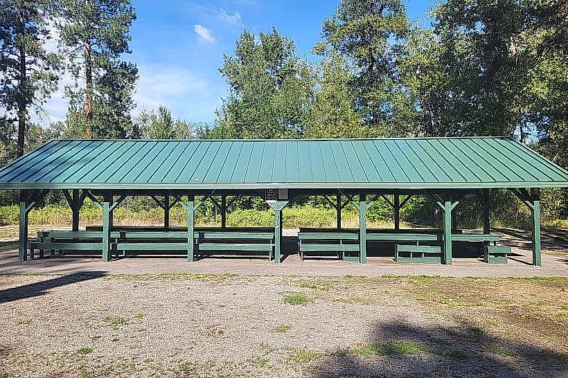
Restrooms are available at major access points and parks. Benches are situated at intervals. Shade is provided by mature trees. Cell phone signal (4G/5G) is generally consistent along the trail. No food vendors are directly on the trail, but businesses are located near access points.
Best Time to Visit
For optimal lighting for photography, early morning (7-9 AM) and late afternoon (4-6 PM) offer softer light. The best months for weather are typically May through October, with July and August being the warmest. No tide considerations apply.
Facts & Legends
A specific historical oddity is the presence of remnants of the former railroad grade, including occasional concrete pilings and bridge abutments, integrated into the trail's landscape. Local lore sometimes refers to the river's changing moods, attributing them to spirits of the valley.
Nearby Landmarks
- McCormick Park (0.1km North)
- Fort Missoula Regional Park (2.5km South)
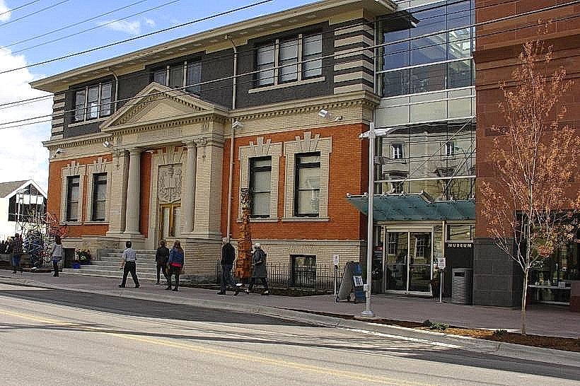
- Missoula Art Museum (1.2km North)
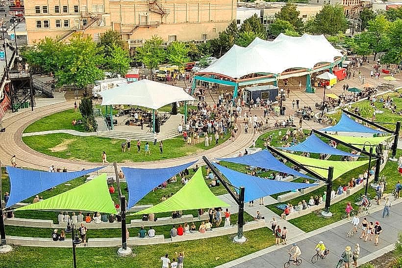
- Caras Park (1.5km North)
- Smokejumper Visitor Center (4.8km South)