Information
Landmark: Clark Fork Riverfront TrailCity: Missoula
Country: USA Montana
Continent: North America
Clark Fork Riverfront Trail, Missoula, USA Montana, North America
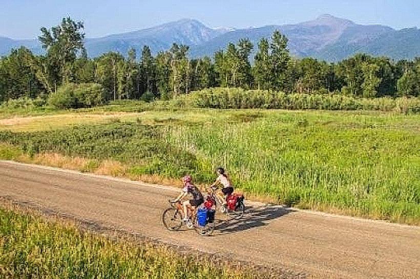
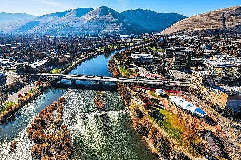
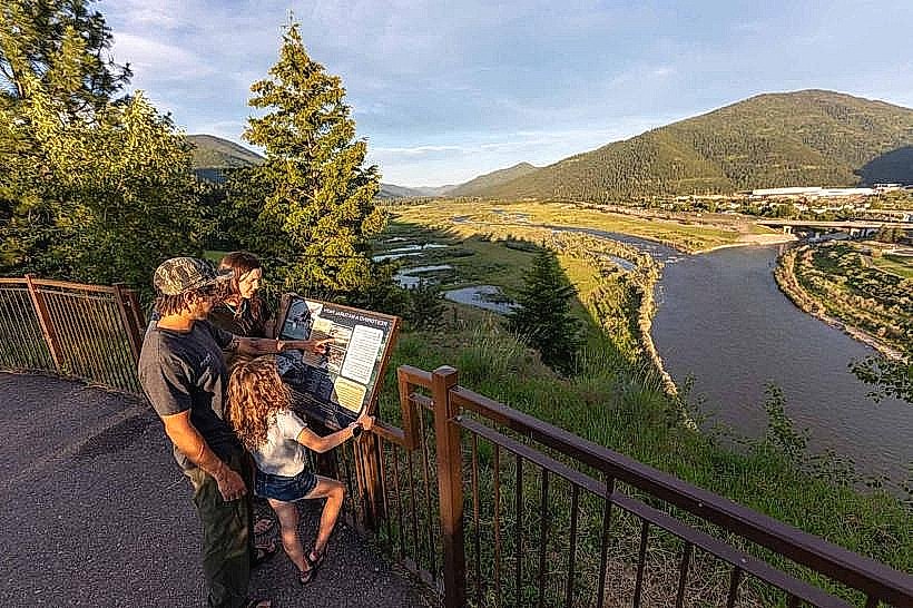
The Clark Fork Riverfront Trail is a paved pathway located in Missoula, Montana, following the Clark Fork River.
It provides access to the river and surrounding park areas within the city limits.
Visual Characteristics
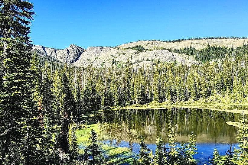
The trail is constructed of asphalt, measuring approximately 3 meters in width. It is bordered by mowed grass and native riparian vegetation, including cottonwood trees and various shrubs. The Clark Fork River itself is characterized by its clear, flowing water, with a riverbed composed of gravel and larger stones. Views are primarily of the river, adjacent parkland, and the surrounding urban and mountainous landscape of Missoula.
Location & Access Logistics
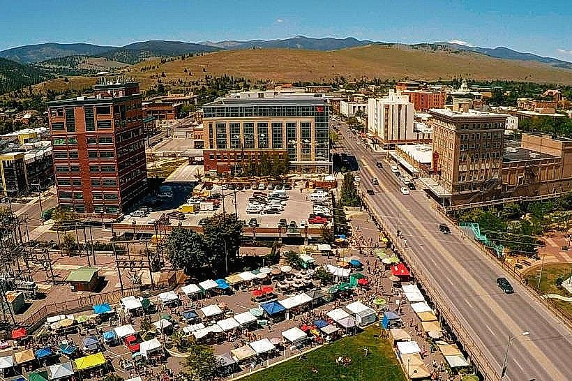
The trail is situated within Missoula, Montana. Access points are numerous, with primary entry points located at Caras Park (120 N Higgins Ave), McCormick Park (1000 Wyoming St), and Silver Park (3001 Russell St). The trail is approximately 1km from Missoula's downtown core. Ample parking is available at designated lots within Caras Park, McCormick Park, and Silver Park. Public transport options include Missoula Urban Transportation District (MUTD) bus routes that stop near Caras Park and McCormick Park.
Historical & Ecological Origin
The trail system was developed as part of urban revitalization efforts along the Clark Fork River, with significant development occurring in the late 20th and early 21st centuries. The area's ecological origin is tied to the Missoula Valley, a glacially formed basin. The Clark Fork River is a major tributary of the Columbia River, originating in the Rocky Mountains.
Key Highlights & Activities
Walking, jogging, and cycling are primary activities. Birdwatching is possible along the riverbanks. Fishing is permitted in designated areas of the Clark Fork River. Kayaking and paddleboarding can be undertaken on the river, with put-in points available at various parks.
Infrastructure & Amenities
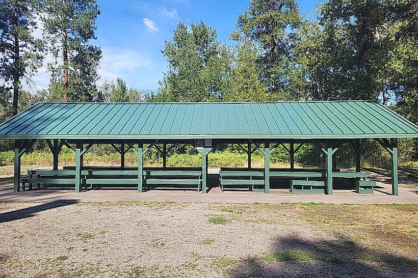
Restrooms are available at Caras Park, McCormick Park, and Silver Park. Shaded areas are provided by mature trees along sections of the trail. Cell phone signal (4G/5G) is generally consistent throughout the trail. Food vendors are present at Caras Park during warmer months and special events. Picnic tables and benches are located at park access points.
Best Time to Visit
For photography, early morning and late afternoon offer favorable lighting conditions. The best months for weather are typically May through October, with average temperatures ranging from 15°C to 25°C. High tide is not a relevant factor for trail access.
Facts & Legends
The Clark Fork River was historically a significant transportation route for Native American tribes. A specific point of interest is the "Brennan's Hole" section of the river, known for its fishing opportunities and local lore.
Nearby Landmarks
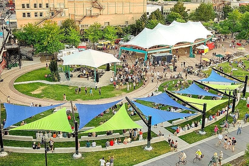
- Caras Park (0km, Central)
- Wilma Theatre (0.8km West)
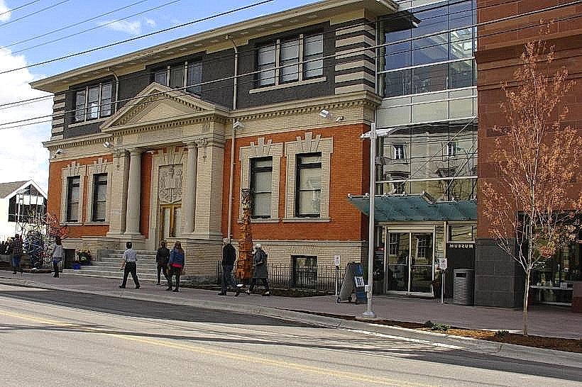
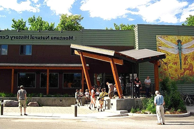
- Missoula Art Museum (0.9km West)
- Smokejumper Visitor Center (3.5km Southwest)
- Smokejumper Base (3.8km Southwest)