Information
Landmark: Blue Mountain Recreation AreaCity: Missoula
Country: USA Montana
Continent: North America
Blue Mountain Recreation Area, Missoula, USA Montana, North America
The Blue Mountain Recreation Area is a public park located in Missoula, Montana, USA.
This area provides access to trails and natural landscapes for outdoor recreation.
Visual Characteristics
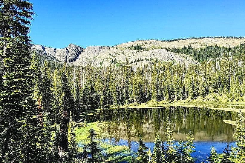
The terrain consists of mixed coniferous forest, primarily Douglas fir and Ponderosa pine, with undergrowth of shrubs like serviceberry and huckleberry. Elevation ranges from approximately 3,200 feet at the base to over 6,000 feet at the summit. Rock outcroppings of granite are visible in higher elevations. Seasonal wildflowers are present in meadows during late spring and summer.
Location & Access Logistics
The primary access point is via Blue Mountain Road, which departs from Reserve Street in Missoula. The turnoff is approximately 3 miles west of the Missoula city center. Blue Mountain Road is paved for the initial 2 miles, then transitions to a well-maintained gravel surface for the remaining 4 miles to the main parking area at the summit. Parking is available in a designated lot at the summit, with capacity for approximately 50 vehicles. No public transportation services reach the Blue Mountain Recreation Area directly. The nearest bus stops are located along Reserve Street, requiring a 3-mile walk or shuttle service to the trailhead.
Historical & Ecological Origin
The area is part of the Lolo National Forest, managed by the U.S. Forest Service. Geologically, the mountains are part of the Northern Rocky Mountains physiographic province, formed by tectonic uplift and erosion over millions of years. The ecological classification is a montane forest ecosystem, supporting diverse flora and fauna adapted to the region's climate and elevation.
Key Highlights & Activities
Hiking is available on a network of trails, including the Summit Trail (3 miles roundtrip, moderate difficulty) and the Ridge Trail (5 miles loop, moderate to strenuous). Mountain biking is permitted on designated trails. Wildlife viewing opportunities exist for deer, elk, and various bird species. Photography is possible, particularly during sunrise and sunset.
Infrastructure & Amenities
Restrooms are available at the main summit parking area. Limited shade is provided by the forest canopy along trails. Cell phone signal (4G/5G) is intermittent and generally weak at higher elevations. No food vendors are present within the recreation area; visitors should bring their own provisions. Picnic tables are located near the summit parking lot.
Best Time to Visit
For photography, early morning (6:00 AM - 8:00 AM) and late evening (6:00 PM - 8:00 PM) offer optimal lighting conditions. The best months for hiking and general recreation are from May through October, avoiding winter snowpack. Snow can persist on higher trails until late June. No tide considerations apply.
Facts & Legends
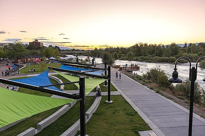
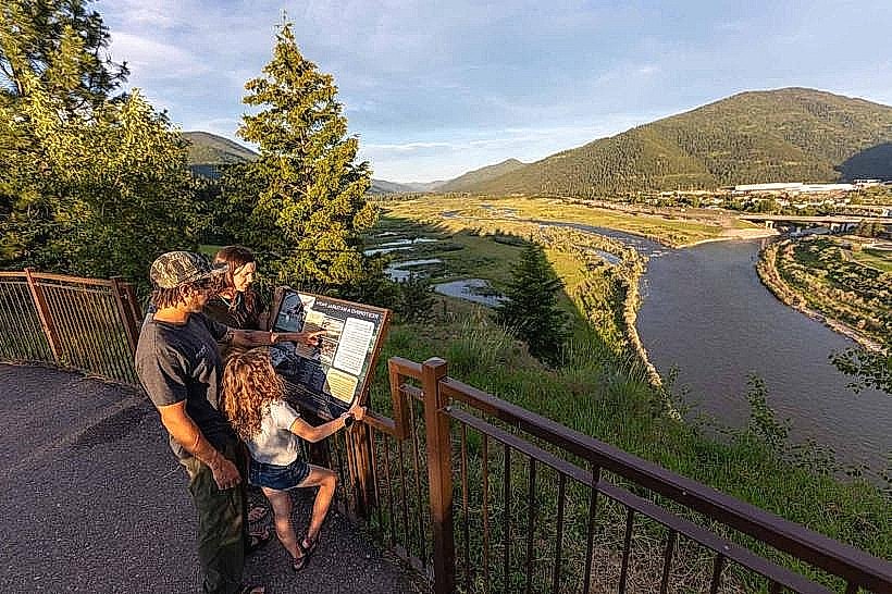
A local legend suggests that the mountain was once home to a solitary prospector who discovered a rich vein of gold but disappeared without a trace, leaving his claim unclaimed. While unverified, the story contributes to the area's lore. The summit offers a panoramic view of the Missoula Valley, including the Clark Fork River.
Nearby Landmarks
- Rattlesnake National Recreation Area and Wilderness (2.5km Northwest)
- Smokejumper Visitor Center (4.0km Southwest)
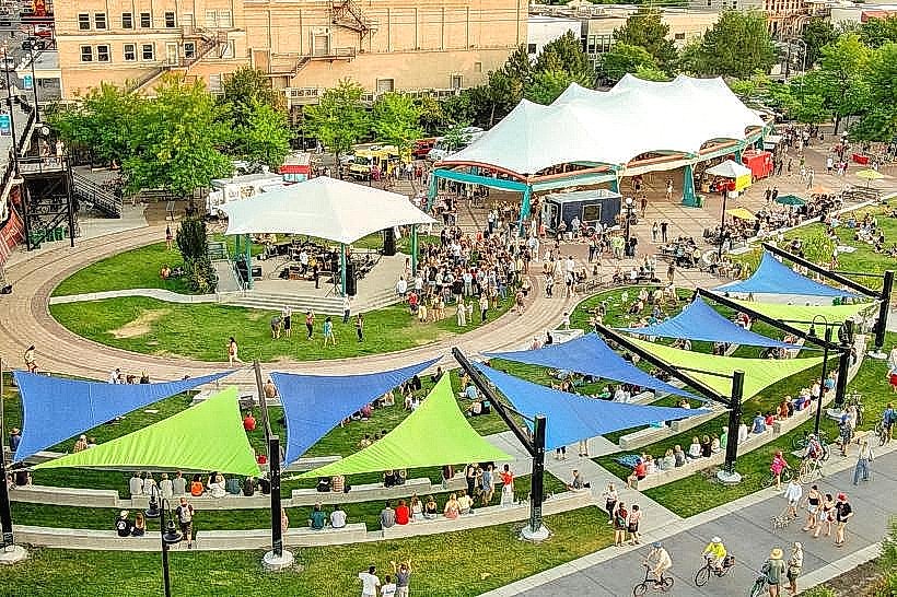
- Caras Park (4.5km Southeast)
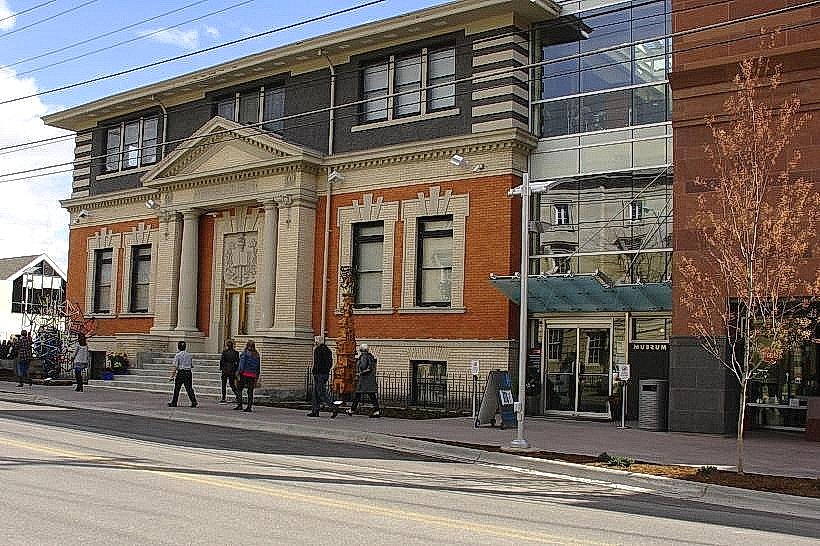
- Missoula Art Museum (4.8km Southeast)