Information
Landmark: Rattlesnake National Recreation AreaCity: Missoula
Country: USA Montana
Continent: North America
Rattlesnake National Recreation Area, Missoula, USA Montana, North America
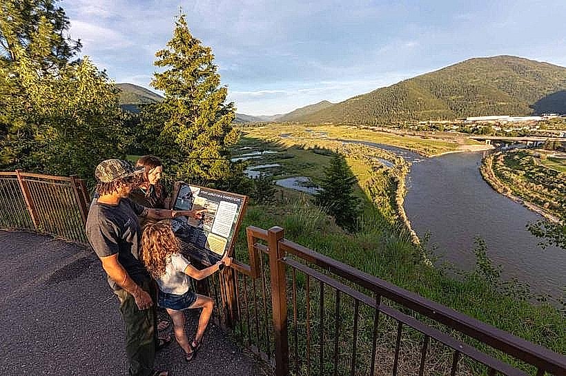
Rattlesnake National Recreation Area is a protected natural area located north of Missoula, Montana. It encompasses a significant portion of the Rattlesnake Creek watershed.
Visual Characteristics
The area features a montane ecosystem characterized by coniferous forests, primarily Douglas fir and ponderosa pine. The Rattlesnake Creek flows through the valley, with sections of clear, fast-moving water over a gravel bed. Elevation ranges from approximately 3,500 feet at the valley floor to over 7,000 feet on surrounding ridges. Rock formations are primarily sedimentary and metamorphic.
Location & Access Logistics
Access is via Rattlesnake Drive from Missoula. Rattlesnake Drive extends approximately 9 miles from the city limits to the trailhead parking area. Parking is available at the Rattlesnake Creek Trailhead, with overflow parking often utilized during peak seasons. Public transportation is not directly available to the trailhead; visitors typically use private vehicles. The main trail, Rattlesnake Creek Trail, begins at the trailhead.
Historical & Ecological Origin
The Rattlesnake National Recreation Area was established to protect the watershed and provide recreational opportunities. Ecologically, it is part of the Northern Rocky Mountains ecoregion, supporting diverse wildlife populations. The area's geological history involves uplift and erosion processes that shaped the current valley and ridge topography.
Key Highlights & Activities
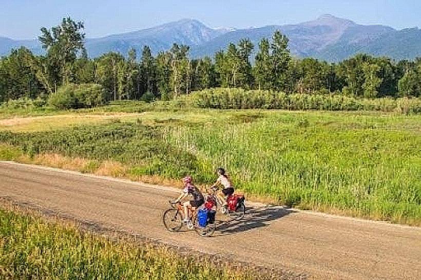
Hiking is a primary activity, with trails such as the Rattlesnake Creek Trail (out-and-back) and various connecting routes to higher elevations. Fishing is permitted in Rattlesnake Creek, subject to Montana fishing regulations. Wildlife viewing opportunities exist for deer, elk, and various bird species. The main trail is suitable for horseback riding.
Infrastructure & Amenities
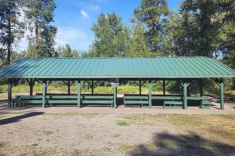
Restrooms are available at the Rattlesnake Creek Trailhead. Shade is provided by the forest canopy along the trails. Cell phone signal is intermittent and generally unreliable within the recreation area. No food vendors are present within the recreation area; provisions should be made prior to arrival.
Best Time to Visit
For hiking, late spring through early fall (May to October) offers the most favorable conditions. Summer months (July-August) provide the warmest weather. Early morning or late afternoon light is optimal for photography due to the angle of the sun through the trees. Snowfall can impact trail accessibility from late fall through spring.
Facts & Legends
The name "Rattlesnake" is attributed to the presence of prairie rattlesnakes in the lower, drier elevations of the surrounding foothills, though they are rarely encountered on the main trails. A specific tip for visitors is to be aware of potential bear activity and carry appropriate deterrents.
Nearby Landmarks
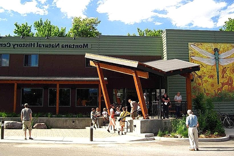
- Smokejumper Visitor Center (2.5km South)
- Fort Missoula Historical Museum (4.0km South)
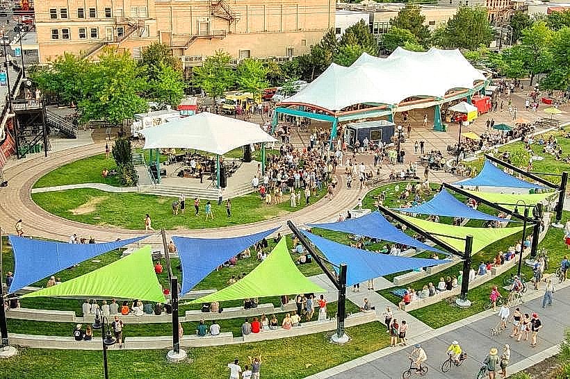
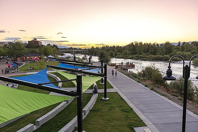
- Caras Park (4.5km South)
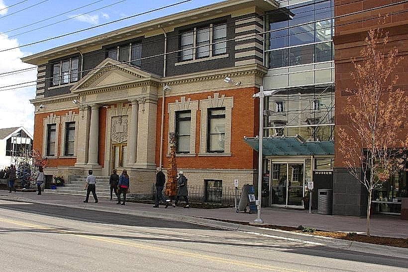
- Missoula Art Museum (4.8km South)