Information
Landmark: Mount Sentinel “M” TrailCity: Missoula
Country: USA Montana
Continent: North America
Mount Sentinel “M” Trail, Missoula, USA Montana, North America
Mount Sentinel "M" Trail is a hiking path located in Missoula, Montana, USA. It leads to a prominent "M" symbol on the mountainside.
Visual Characteristics
The trail is a steep, unpaved path ascending Mount Sentinel. The "M" symbol is constructed from white-painted rocks, measuring approximately 100 feet (30 meters) in height and 60 feet (18 meters) in width. The surrounding vegetation consists of Ponderosa pine and Douglas fir trees, with exposed scree slopes higher up.
Location & Access Logistics
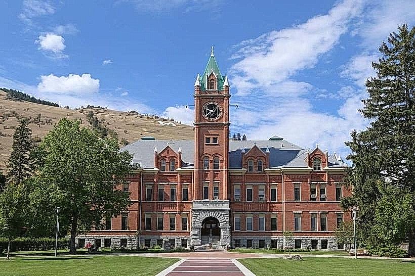
The trailhead is situated at the eastern edge of the University of Montana campus in Missoula. Access is via East Stadium Drive, which connects to South Higgins Avenue. Parking is available in designated university lots, particularly Lot G, which is adjacent to the trailhead. Public transport options include the Mountain Line bus service, with routes serving the university campus.
Historical & Ecological Origin
The "M" was originally placed in 1908 by students of the University of Montana as a marker. It has since been maintained and repainted by various student groups and community volunteers. The mountain itself is part of the Northern Rocky Mountains, formed by geological uplift and erosion over millions of years.
Key Highlights & Activities
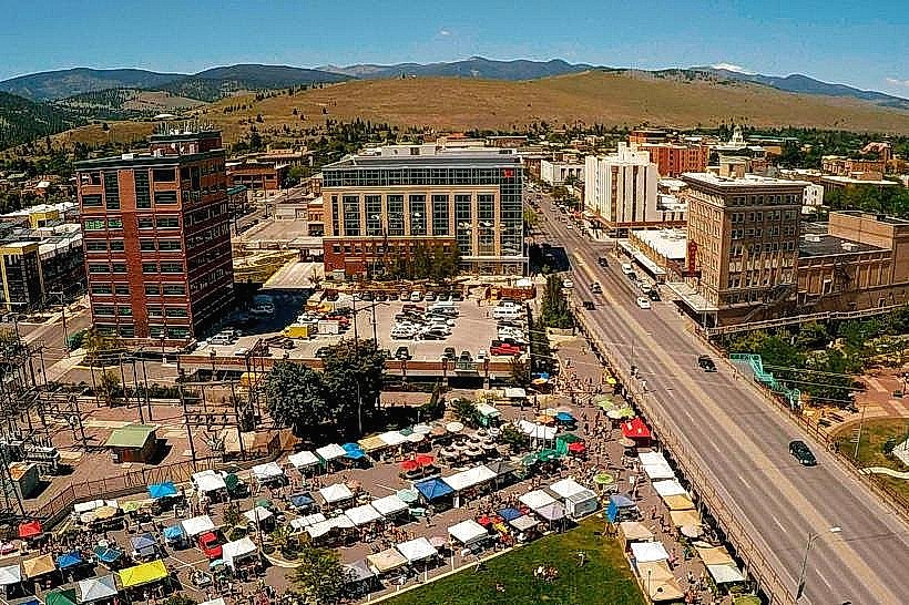
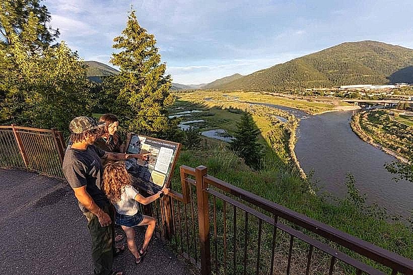
Hiking the trail to the "M" is the primary activity. The ascent offers panoramic views of Missoula, the Clark Fork River, and surrounding valleys. The trail is suitable for walking and trail running. Photography opportunities are available at multiple points along the ascent and at the summit.
Infrastructure & Amenities
Restrooms are available at the University of Montana campus near the trailhead. There is no developed shade along the trail itself. Cell phone signal (4G/5G) is generally available. No food vendors are present at the trailhead or along the trail.
Best Time to Visit
For optimal lighting for photography, early morning or late afternoon is recommended. The best months for hiking are typically May through October, avoiding winter snow and ice. The trail is accessible year-round, weather permitting.
Facts & Legends
The "M" is repainted annually by the university's Associated Students of Montana (ASUM) and the Missoula community. A local tradition involves students painting the "M" for the first time during their freshman year.
Nearby Landmarks
- University of Montana Campus (0.2km West)
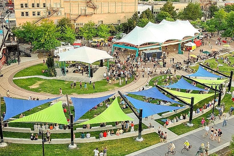
- Caras Park (2.5km Southwest)
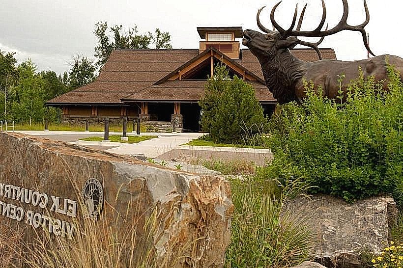
- Smokejumper Visitor Center (4.0km Southeast)
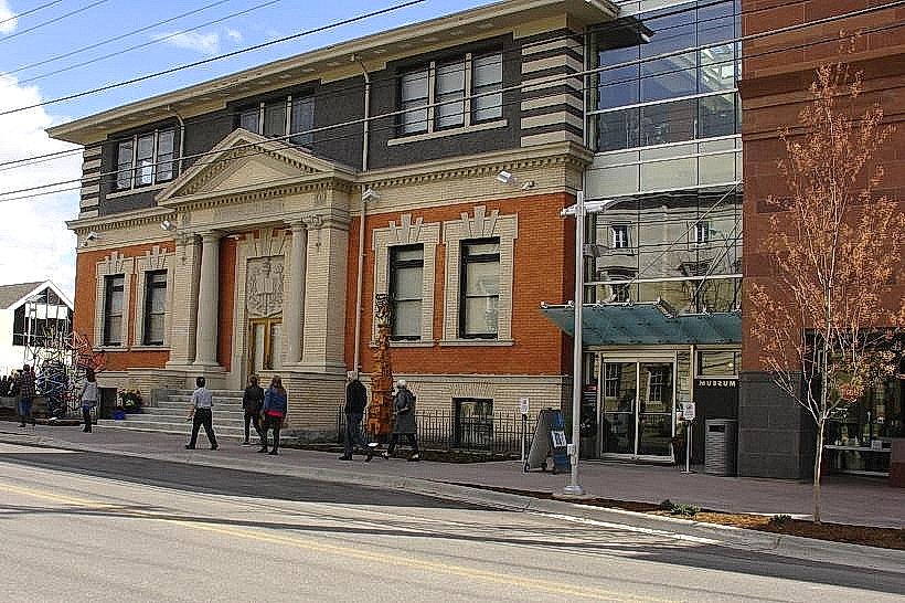
- Missoula Art Museum (2.8km Southwest)