Information
Landmark: Boga LakeCity: Chittagong
Country: Bangladesh
Continent: Asia
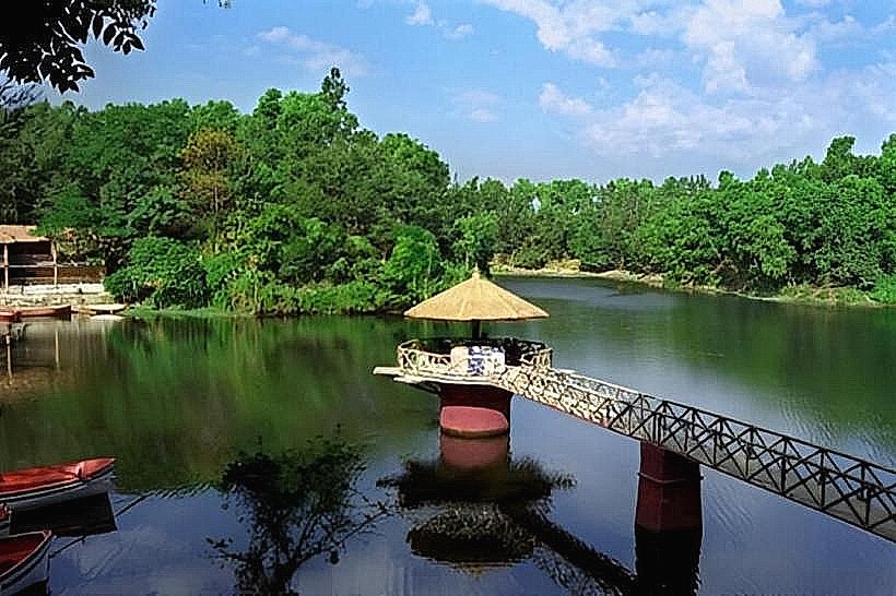
Boga Lake, Chittagong, Bangladesh, Asia
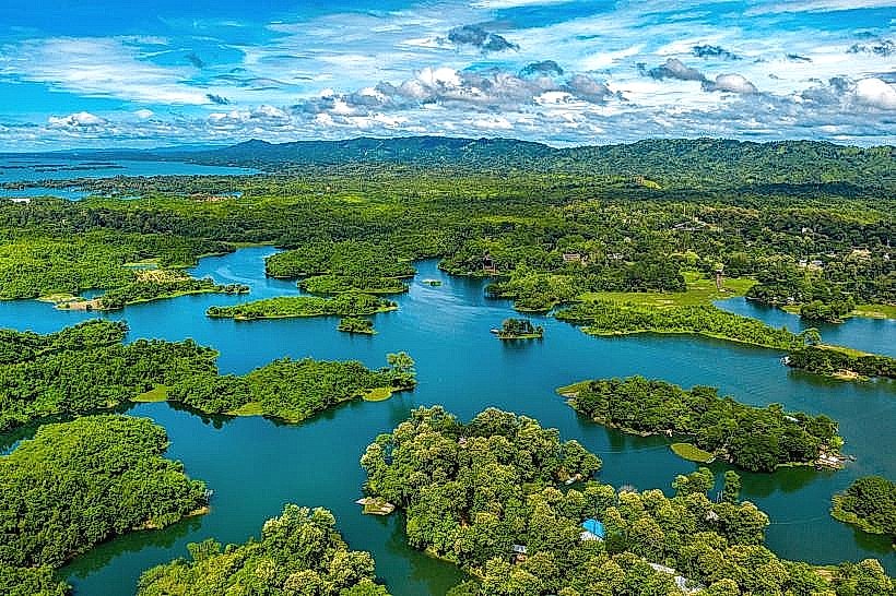
Boga Lake is a natural freshwater lake situated in the Bandarban District of Bangladesh. It is located approximately 18 kilometers from the Thanchi Upazila headquarters.
Visual Characteristics
The lake is roughly oval-shaped, with a surface area of approximately 10 acres. Its water color varies from deep blue to greenish-blue depending on the angle of sunlight and depth. The surrounding terrain consists of steep, forested hills. The lakebed is composed of sediment and submerged rocks.
Location & Access Logistics
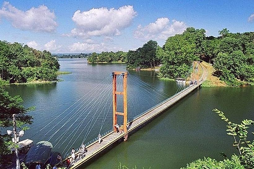
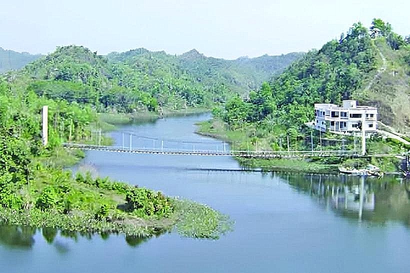
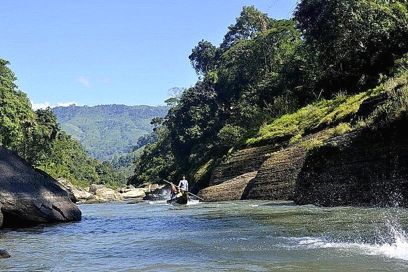
Access to Boga Lake requires travel to Thanchi Upazila in Bandarban District. From Thanchi town, the primary mode of transport is by boat along the Sangu River for approximately 2-3 hours, followed by a 1-2 hour trek through hilly terrain. There is no direct road access. Parking is not available at the lake itself; vehicles must be left in Thanchi town. Public transport to Thanchi involves buses from major cities like Chittagong.
Historical & Ecological Origin
Boga Lake is a natural formation, believed to be a crater lake formed by seismic activity or a landslide that dammed a natural stream. Its ecological classification is a high-altitude freshwater lake within a tropical monsoon climate zone.
Key Highlights & Activities
Observation of the lake's water color and surrounding landscape. Photography is a primary activity. Limited opportunities for swimming exist, but caution is advised due to depth and submerged objects. Overnight stays in local bamboo huts are possible.
Infrastructure & Amenities
Basic bamboo huts are available for accommodation, operated by local communities. There are no formal restroom facilities; visitors typically use designated natural areas. Food vendors are not present at the lake; arrangements for meals must be made in advance with accommodation providers. Cell phone signal is generally absent.
Best Time to Visit
The dry season, from October to March, offers the most stable weather conditions. The best time of day for photography is typically mid-morning to early afternoon when sunlight is most direct. There are no tidal influences.
Facts & Legends
Local folklore suggests the lake was formed by the tears of a mythical creature or a deity. Another account states it was created by a powerful earthquake. A practical tip for visitors is to carry sufficient drinking water and insect repellent, as these are not readily available at the site.
Nearby Landmarks
- Nafakhum Waterfall (Approximately 15km Southwest)
- Padma Jhiri Waterfall (Approximately 12km West)
- Chimbuk Hill (Approximately 30km Northeast)
- Nilgiri Hill Resort (Approximately 35km Northeast)