Information
Landmark: Kaptai LakeCity: Chittagong
Country: Bangladesh
Continent: Asia
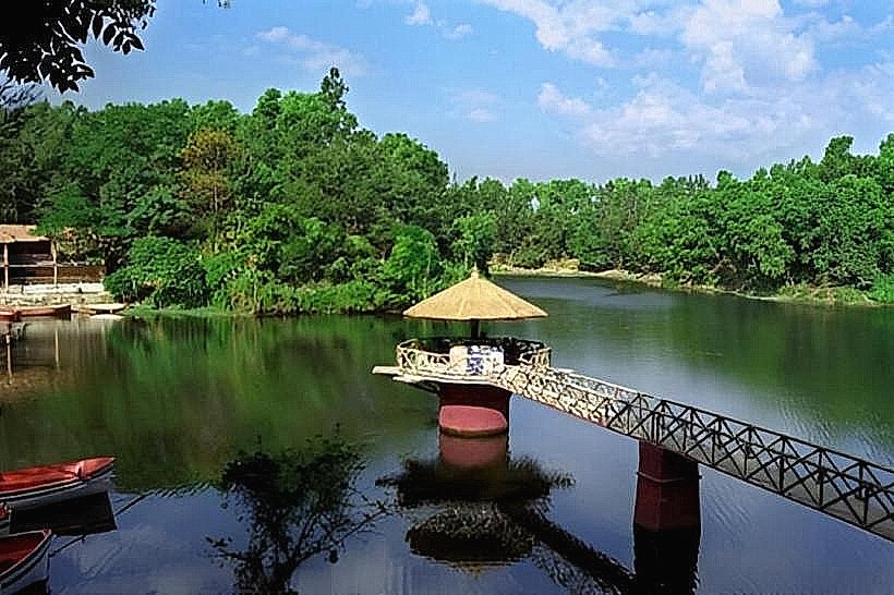
Kaptai Lake, Chittagong, Bangladesh, Asia
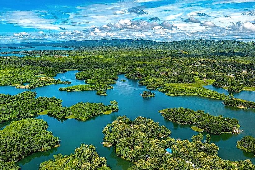
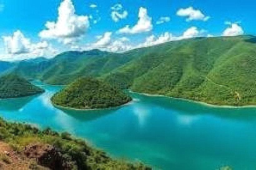
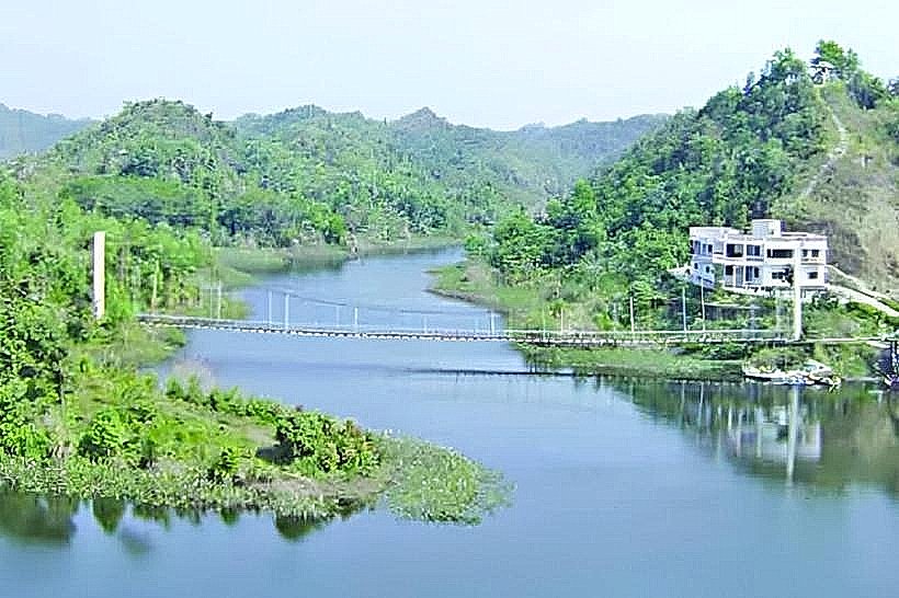
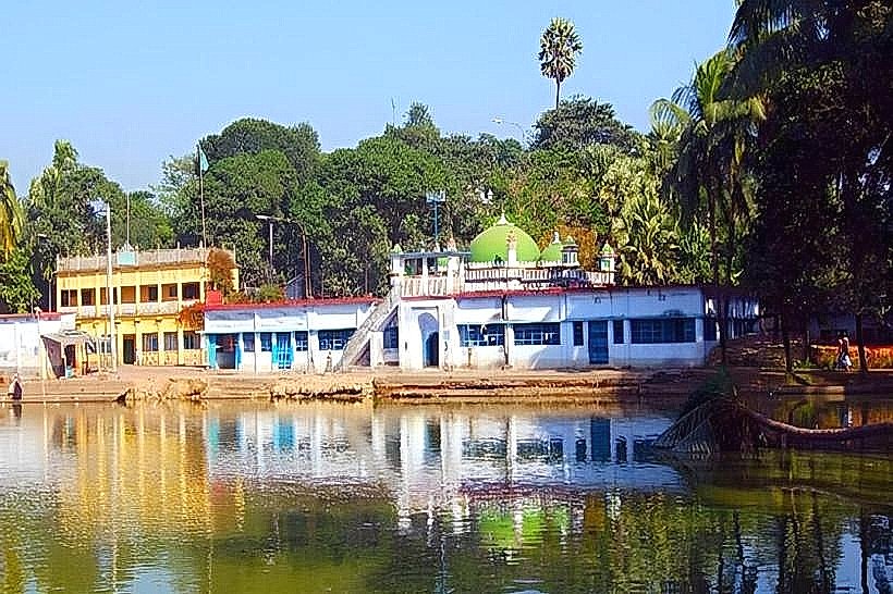
Kaptai Lake is a man-made reservoir located in the Rangamati District of Chittagong, Bangladesh. It was created by the construction of the Kaptai Dam on the Karnaphuli River.
Visual Characteristics
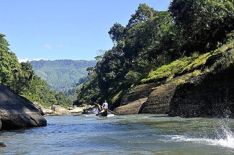
The lake's surface area varies seasonally, covering approximately 11,000 square kilometers during the monsoon and reducing to around 7,000 square kilometers in the dry season. The water color is typically a murky brown due to sediment runoff. The surrounding landscape consists of rolling hills covered in dense tropical vegetation, primarily mixed deciduous forests.
Location & Access Logistics
Kaptai Lake is situated approximately 50 kilometers northeast of Chittagong city. Access is primarily via the Kaptai Road (R141). From Chittagong, travel northeast on the Chittagong-Rangamati Road (N106) and then turn onto Kaptai Road. The journey takes approximately 1.5 to 2 hours by car. Limited public transport options exist; local buses operate from Chittagong to Kaptai town. Parking is available at designated points near the dam and tourist jetties, though it is often informal.
Historical & Ecological Origin
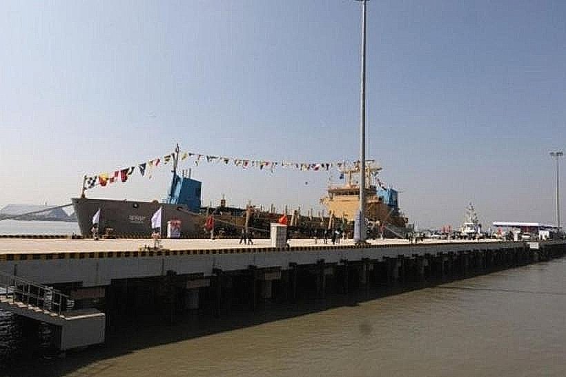
The lake was formed in 1962 with the completion of the Kaptai Dam, a concrete and earth-fill dam constructed by the Pakistan Water and Power Development Authority (WAPDA). Its primary purpose was hydroelectric power generation and flood control. The dam's construction submerged approximately 40% of the cultivable land in the Rangamati Hill District, displacing an estimated 100,000 people, primarily indigenous Chakma people.
Key Highlights & Activities
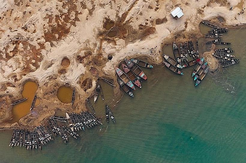
Boat tours are the primary activity, offering exploration of the lake's expanse and surrounding hills. Visitors can disembark at various points for short hikes. Fishing is permitted in designated areas. The Kaptai National Park, located on the eastern bank, offers opportunities for nature observation.
Infrastructure & Amenities
Basic amenities are available at the Kaptai town area, including small restaurants and shops. Restrooms are present at the main tourist jetty. Shade is provided by natural tree cover in some areas and by boat awnings. Cell phone signal (2G/3G) is generally available in Kaptai town but can be intermittent on the lake.
Best Time to Visit
The best time to visit is during the dry season, from October to March, when the water levels are stable and the weather is less humid. The monsoon season (June to September) sees higher water levels, which can enhance the visual scale of the lake but may also lead to increased sediment. For photography, early morning and late afternoon offer softer light.
Facts & Legends
A significant historical oddity is the displacement of indigenous communities during the dam's construction, a topic that continues to be a point of discussion regarding the project's social impact. Local folklore speaks of spirits inhabiting the submerged villages, influencing the lake's currents.
Nearby Landmarks
- Kaptai Dam (0.2km West)
- Kaptai National Park (2km East)
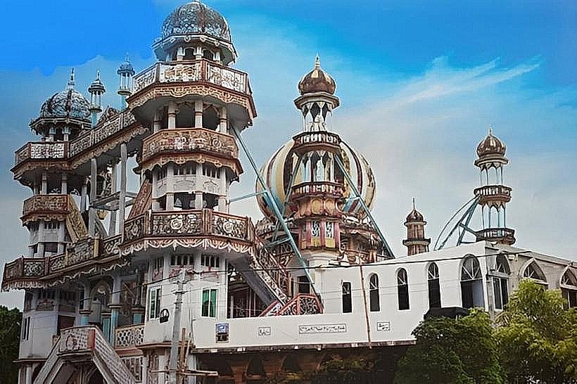
- Shuvalong Waterfall (15km North)
- Rangamati Town (50km North)