Information
Landmark: Chittagong Hill TractsCity: Chittagong
Country: Bangladesh
Continent: Asia
Chittagong Hill Tracts, Chittagong, Bangladesh, Asia
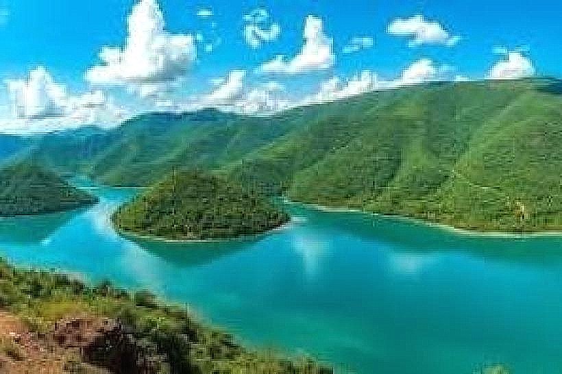
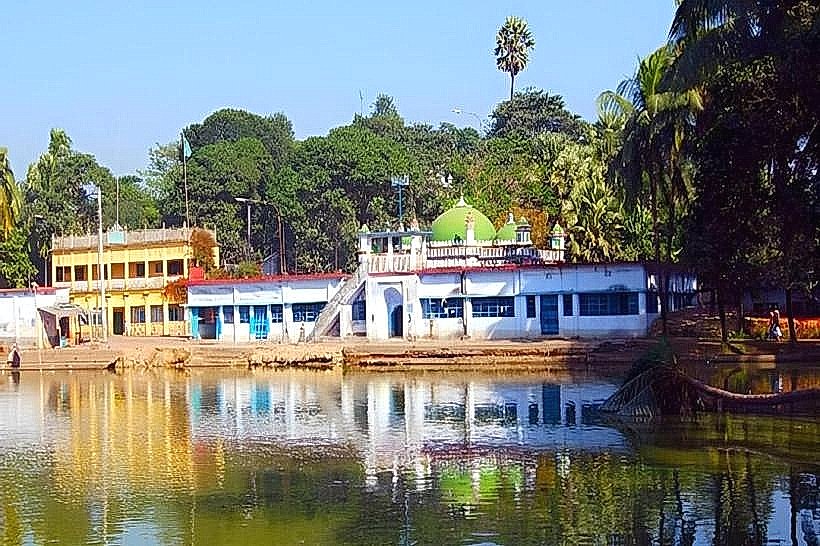
The Chittagong Hill Tracts is a region of southeastern Bangladesh characterized by its hilly terrain and diverse indigenous populations. It is located in the southeastern part of Bangladesh, bordering India and Myanmar.
Visual Characteristics
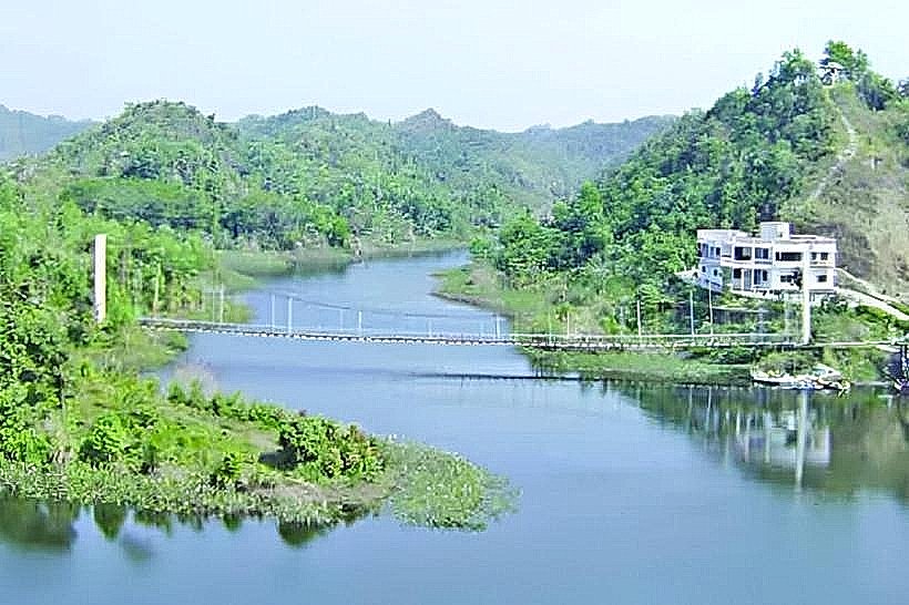
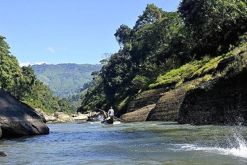
The landscape consists of undulating hills covered in dense tropical and subtropical forests. Elevation ranges from approximately 150 meters to over 1,000 meters above sea level. Rivers and streams carve through the valleys, with vegetation varying from bamboo groves to mixed deciduous and evergreen forests. The soil composition is primarily lateritic and alluvial in the valleys.
Location & Access Logistics
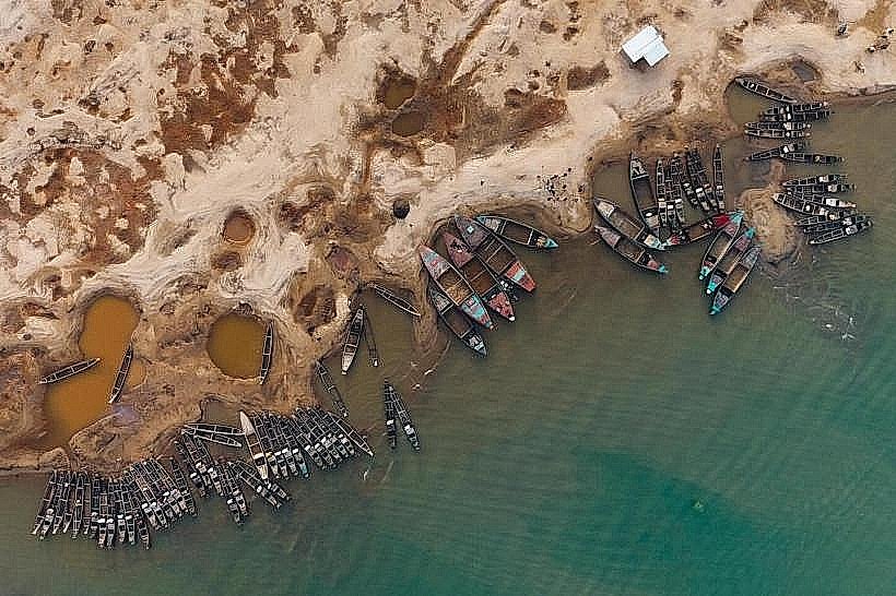
The Chittagong Hill Tracts is accessible from Chittagong city. The primary gateway is via the Chittagong-Rangamati Highway (N104), approximately 60 kilometers from Chittagong city center to Rangamati. Road conditions can vary, with some sections paved and others unpaved, particularly during the monsoon season. Private vehicles and local buses operate on these routes. For travel to Bandarban, the Bandarban-Chittagong Road (N104) is utilized, a distance of approximately 90 kilometers. Access to more remote areas may require boat travel on rivers like the Karnaphuli or Sangu, or trekking. Limited public transport exists within the hill tracts themselves, with shared taxis and local jeeps being common for inter-village travel. Parking is generally available at designated points in towns like Rangamati, Bandarban, and Khagrachhari, but can be scarce in smaller settlements.
Historical & Ecological Origin
The region's topography is the result of geological processes including erosion and sedimentation over millions of years, forming a complex system of hills and valleys. Ecologically, it is classified as a transition zone between the Indo-Malayan and Indochinese biogeographic realms, supporting a rich biodiversity. Historically, the area has been inhabited by various indigenous communities for centuries, with distinct cultural and social structures. The administrative entity of the Chittagong Hill Tracts was formally established during British rule in the late 19th century, primarily for administrative and revenue purposes.
Key Highlights & Activities
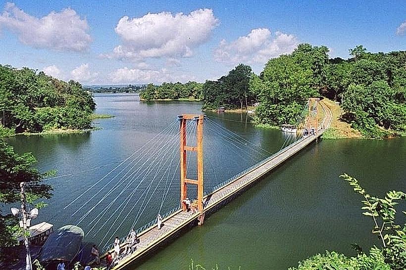
Activities include trekking through forest trails, visiting indigenous villages to observe local culture and crafts, boat trips on Kaptai Lake and other rivers, and exploring natural waterfalls. Birdwatching is possible in forested areas. Photography of the landscape and cultural practices is a common pursuit. Some areas offer opportunities for exploring caves.
Infrastructure & Amenities
Basic infrastructure is present in the main towns of Rangamati, Bandarban, and Khagrachhari, including guesthouses, local eateries, and markets. Restrooms are available in hotels and public facilities in these towns, but are less common in remote areas. Shade is provided by the forest canopy in many natural areas. Cell phone signal (2G/3G) is generally available in towns and along major roads, but can be intermittent or absent in remote hill tracts. Food vendors are common in market areas and tourist hubs, offering local cuisine.
Best Time to Visit
The dry season, from October to March, offers the most favorable weather conditions with lower humidity and minimal rainfall. Temperatures range from 15°C to 30°C during this period. The monsoon season (June to September) brings heavy rainfall, which can impact travel and access to certain areas due to landslides and swollen rivers. The best time of day for landscape photography is generally early morning and late afternoon, when the light is softer and shadows are longer.
Facts & Legends
A local legend speaks of the "Shapla" or water lily, which is said to bloom only in the purest waters of the hill streams, symbolizing the pristine nature of the region. Historically, the Chittagong Hill Tracts has been a site of significant political and social movements related to the rights and autonomy of its indigenous peoples.
Nearby Landmarks
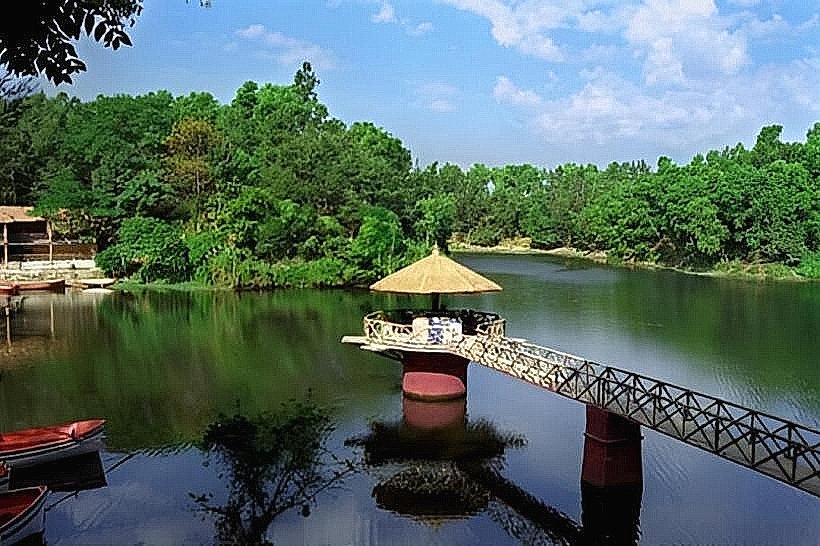
- Kaptai Lake (5km Northwest)
- Shuvalong Waterfall (15km Northeast)
- Buddha Dhatu Jadi Temple (2km South)
- Tribal Museum, Rangamati (3km West)
- Chimbuk Hill (40km Southwest)