Information
Landmark: Bregvija VillageCity: Ulcinj
Country: Montenegro
Continent: Europe
Bregvija Village, Ulcinj, Montenegro, Europe
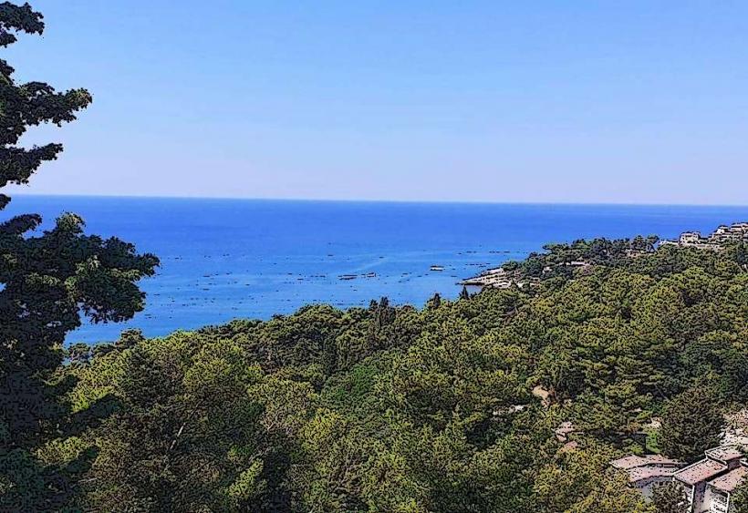
Bregvija is a rural settlement located in the hinterland of the Ulcinj municipality, situated within the fertile agricultural belt near the Bojana River and the border with Albania.
Visual Characteristics
The village is characterized by a traditional lowland Mediterranean-Balkan landscape. It features a mix of old stone masonry farmhouses and modern agricultural estates. The surrounding terrain is predominantly flat or gently undulating, consisting of olive groves, citrus orchards, and open fields used for seasonal vegetable cultivation. The proximity to the Bojana River influences the local greenery, which is significantly more lush than the rocky karst areas of northern Ulcinj.
Location & Access Logistics
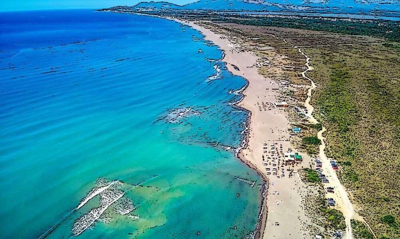
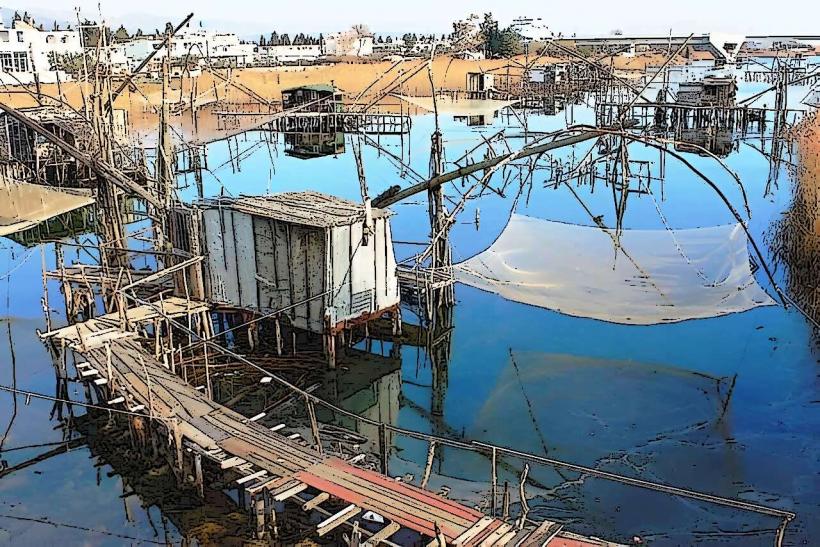
Bregvija is positioned approximately 12 kilometers east of the Ulcinj city center. It is accessible via the R-17 regional road (Ulcinj–Ada Bojana), with a secondary paved turn-off leading into the village interior. The village is strategically located between the Ulcinj Salina (Solana) and the banks of the Bojana River. There is no consistent public transport to the village; travel requires a private vehicle, taxi, or bicycle. It is a 15-minute drive from Velika Plaža.
Historical & Ecological Origin
Historically, Bregvija has been an agrarian community, benefiting from the alluvial soil deposited by the Bojana River system. The population is traditionally involved in cattle breeding and high-yield agriculture. Ecologically, the village serves as a buffer zone for the nearby protected wetlands. The area is a noted corridor for migratory birds traveling between the Adriatic coast and Lake Šas.
Key Highlights & Activities
Logistical activities in Bregvija focus on agrotourism and nature exploration.
Local Produce: The village is a source of organic pomegranates, figs, and citrus fruits sold in local markets.
Birdwatching: Due to its location near the Solana wetlands, the village outskirts are frequented by birdwatchers monitoring flamingo and pelican populations.
Cycling: The flat terrain and low-traffic rural roads make it a primary route for cycling excursions connecting Ulcinj to the Bojana River.
Infrastructure & Amenities
Infrastructure is basic and primarily serves the local residential population. There are small local grocery stores and occasional roadside stands selling domestic products. 5G and 4G cellular signals are stable due to the flat topography. Natural shade is abundant throughout the village, provided by old-growth mulberry and oak trees. Public restrooms and tourist-specific facilities are non-existent; visitors typically utilize amenities at the nearby Velika Plaža beach clubs.
Best Time to Visit
Late spring (May–June) is optimal for seeing the agricultural landscape in full bloom. Autumn (October–November) is the best time for the pomegranate and olive harvests. For photography, the early morning light over the misty fields near the Bojana River provides the highest visual fidelity. Summer visits should be planned for the early morning to avoid the high humidity characteristic of the river basin.
Facts & Legends
The name "Bregvija" is linked to local linguistic roots signifying a "place by the bank" or "slope," referring to its position slightly elevated above the floodplains of the river. A local fact is that the microclimate here is slightly more humid and temperate than in the Ulcinj Old Town, allowing for the successful cultivation of sub-tropical plant species that struggle in the windier coastal sections.
Nearby Landmarks
Bojana River – 3.0km East
Ulcinj Salina (Solana) – 2.5km West
Velika Plaža (Long Beach) – 4.0km South
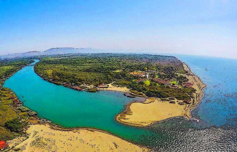
Ada Bojana – 6.0km Southeast
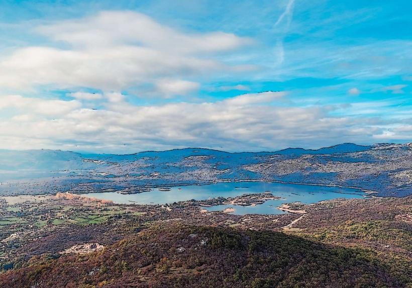
Lake Šas – 8.0km Northeast