Information
Landmark: River BojanaCity: Ulcinj
Country: Montenegro
Continent: Europe
River Bojana, Ulcinj, Montenegro, Europe
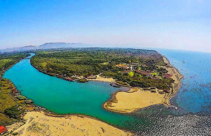
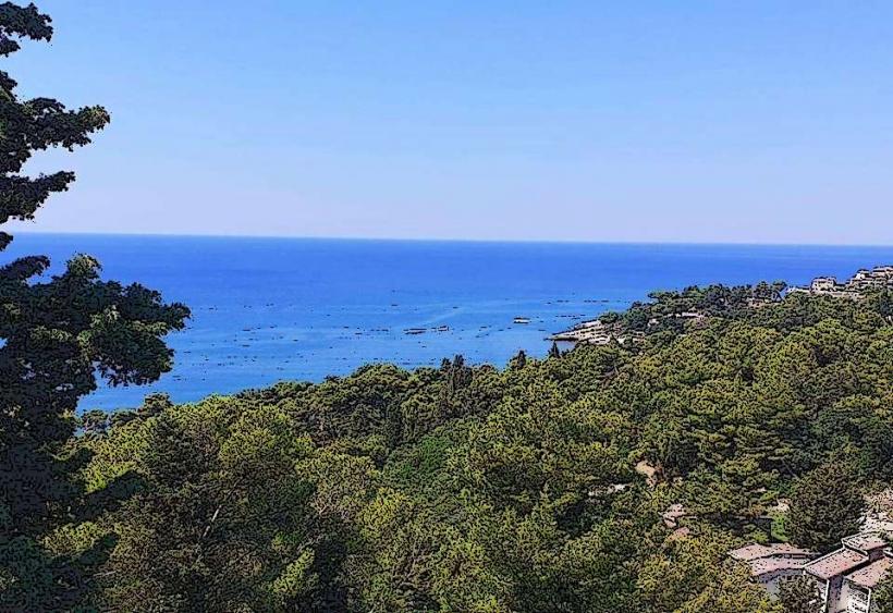
The Bojana River (Buna in Albanian) is a 41-kilometer-long waterway that forms the natural border between Montenegro and Albania. It is the only river in the world that flows in both directions under certain natural conditions and serves as a major ecological and social hub for the Ulcinj municipality.
Visual Characteristics
The river is characterized by wide, slow-moving turquoise waters and lush, subtropical riparian vegetation. Near its delta, the river splits into two branches, creating the triangular island of Ada Bojana. The banks are lined with hundreds of traditional wooden "sojenice" (stilt houses) and "kalimere" (large, square fishing nets with wooden lever systems), creating a unique architectural profile not found elsewhere in the Adriatic.
Location & Access Logistics
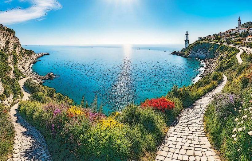
The river originates from Lake Skadar and flows into the Adriatic Sea at the southernmost tip of Montenegro. Access from Ulcinj (15 km away) is via the R-17 regional road. A bridge near the village of Štoj provides the only vehicle access to the right bank and Ada Bojana Island. Public transport is seasonal; private vehicles or taxis are required for transit from Ulcinj city center.
Historical & Ecological Origin
The river is the result of the complex karst drainage system of the Dinaric Alps. It is the third largest tributary in the Mediterranean by water volume. Historically, it was a vital navigable trade route between the Adriatic and the city of Shkodër. Its most unique technical feature is the bifurcated delta and its extremely low gradient (only 0.6% slope), which causes seawater to flow upstream deep into the riverbed during heavy southern winds (Jugo).
Key Highlights & Activities
Fishing: The river is a premier destination for catching sea bass, bream, and the indigenous Bojana eel.
Gastronomy: The riverbanks host a concentration of specialized seafood restaurants where fish are caught directly from the "kalimere" nets.
Kitesurfing: The river mouth is the primary launch point for kitesurfers due to the reliable "Maestral" thermal wind.
Boating: Local operators provide excursions from the river delta upstream toward the Albanian border and Lake Šas.
Infrastructure & Amenities
The area is densely developed with private holiday rentals (stilt houses) and restaurants. Basic grocery stores are located in the nearby village of Štoj. 5G cellular coverage is stable. Natural shade is abundant along the riverbanks due to dense clusters of willow, poplar, and cane. Public restrooms are generally restricted to commercial restaurant facilities.
Best Time to Visit
The summer months (June–September) are optimal for dining and water sports. Photography is most effective at sunset, as the sun aligns with the river's western branch. Late spring (May) is best for observing the high water levels and migratory bird activity.
Facts & Legends
A local technical fact is that the riverbed is, in some places, below sea level (cryptodepression). Local legend suggests the river is "living," referring to the phenomenon where high tides and strong winds force the salt water upstream, making the river appear to flow back into Lake Skadar.
Nearby Landmarks
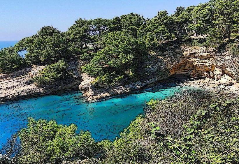
Ada Bojana Island – 0.0km (At the delta)
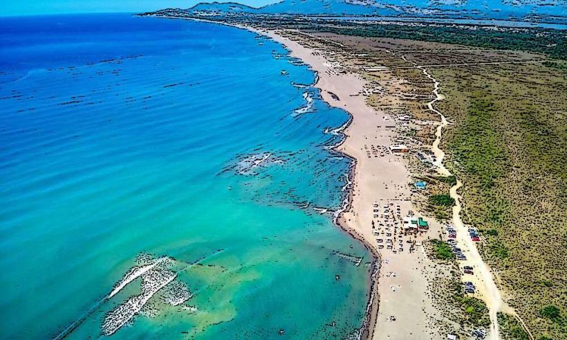
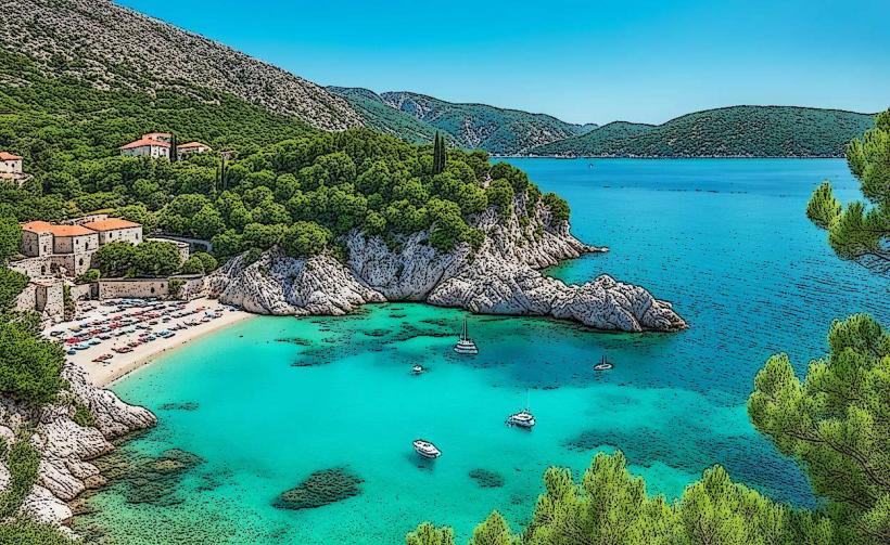
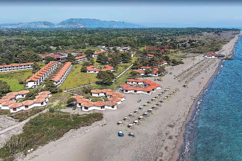
Velika Plaža (Long Beach) – 1.0km West
Ulcinj Salina (Solana) – 8.0km Northwest
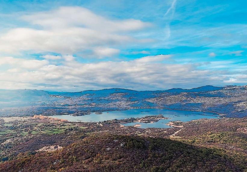
Lake Šas – 10.0km North
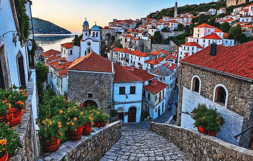
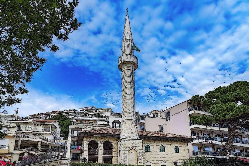
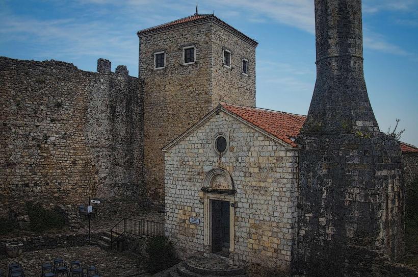
Ulcinj Old Town – 15.0km Northwest