Information
Landmark: Bukit Patoi Recreational ParkCity: Temburong
Country: Brunei
Continent: Asia
Bukit Patoi Recreational Park, Temburong, Brunei, Asia
Bukit Patoi Recreational Park is a protected forest reserve located in the Temburong District of Brunei.
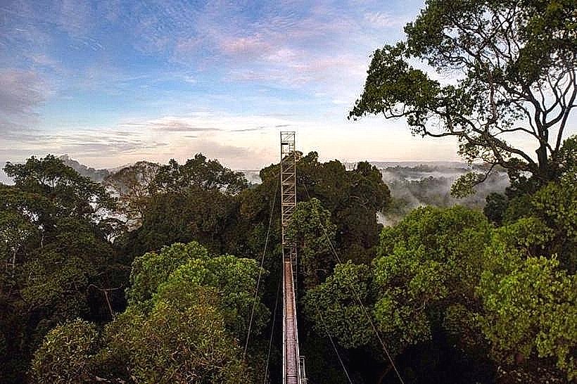
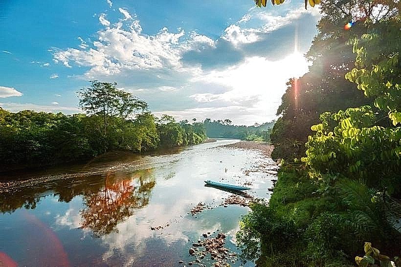
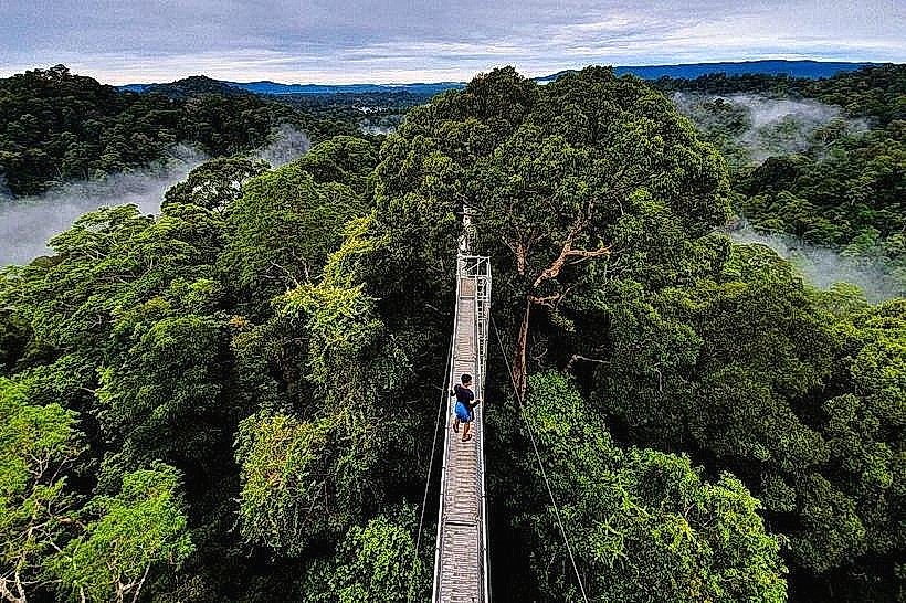
This park features a prominent hill with a summit offering panoramic views of the surrounding rainforest and the Temburong River.
Visual Characteristics
The park is characterized by dense tropical rainforest vegetation. The primary geological feature is Bukit Patoi, a hill composed of sedimentary rock. Trails within the park are primarily unpaved earth paths, varying in width and gradient. The summit area is relatively clear, providing open views.
Location & Access Logistics
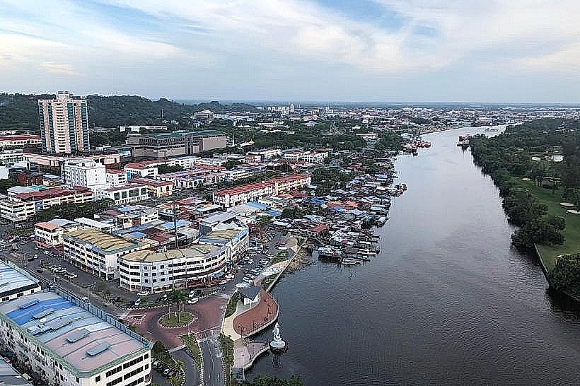
Bukit Patoi Recreational Park is situated approximately 20 kilometers south of Bangar Town, the administrative center of Temburong District. Access is via Jalan Batang Duri. The final approach to the park entrance involves a gravel road. Parking is available at the designated trailhead. Public transport to the park is limited; visitors typically rely on private vehicles or taxis from Bangar.
Historical & Ecological Origin
Bukit Patoi Recreational Park is part of Brunei's protected forest reserves, established to conserve its rich biodiversity and natural landscapes. The geological formation of Bukit Patoi is consistent with the sedimentary rock formations prevalent in the region, shaped by millions of years of erosion and geological activity. The area supports a diverse ecosystem typical of lowland dipterocarp forests.
Key Highlights & Activities
The main activity is hiking to the summit of Bukit Patoi. The trail to the summit is approximately 2 kilometers one-way. Observation platforms are located at the summit. Birdwatching is possible due to the diverse avian population. Photography of the rainforest canopy and distant views is a common activity.
Infrastructure & Amenities
Basic amenities include designated parking areas and informational signage. Restrooms are available at the park entrance. Shade is provided by the dense forest canopy along the trails. Cell phone signal (4G) is intermittent within the park, particularly in lower-lying areas. No food vendors are present within the park; visitors should bring their own provisions.
Best Time to Visit
The best time of day for photography is early morning or late afternoon when the sunlight filters through the canopy, creating distinct lighting conditions. The dry season, from March to September, generally offers more favorable weather conditions for hiking, with reduced rainfall. There are no tidal considerations for visiting this inland park.
Facts & Legends
A local belief suggests that the summit of Bukit Patoi offers a vantage point from which one can see the curvature of the Earth, though this is scientifically unsubstantiated. The park is a habitat for various primate species, including macaques.
Nearby Landmarks
- Temburong River (0.5km West)
- Bangar Town (20km North)
- Ulu Temburong National Park (25km South)
- Orchid Garden (18km North)