Information
Landmark: Temburong RiverfrontCity: Temburong
Country: Brunei
Continent: Asia
Temburong Riverfront, Temburong, Brunei, Asia
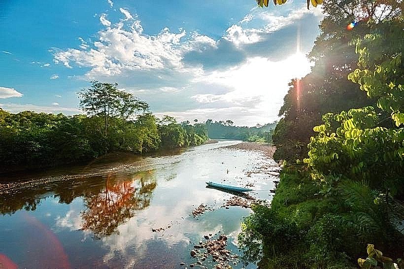
The Temburong Riverfront is a waterway located in the Temburong District of Brunei. It serves as a primary access route and ecological corridor within the region.
Visual Characteristics
The river is characterized by its dark, tannin-stained waters, a result of decaying vegetation from the surrounding rainforest. The banks are densely vegetated with a variety of tropical flora, including tall trees and thick undergrowth. The river width varies, averaging approximately 50 meters in the main navigable channels.
Location & Access Logistics
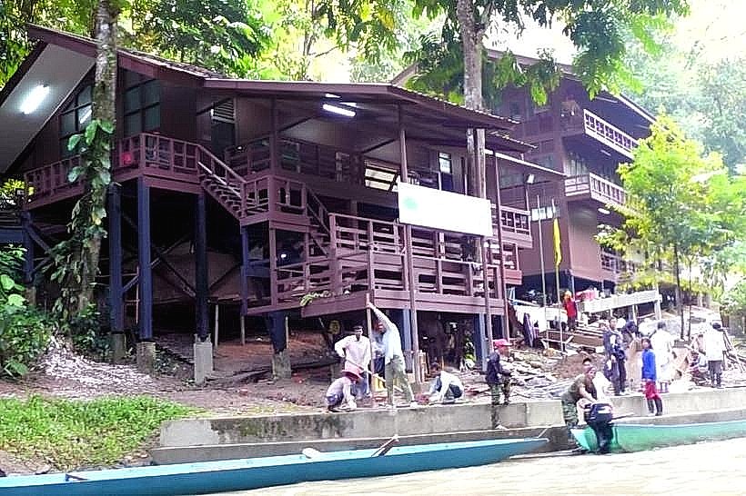
The Temburong River is situated within the Temburong District, accessible from Bandar Seri Begawan via the Sultan Haji Omar Ali Saifuddien Bridge. From the town of Temburong, river taxis and longboats are the primary means of transport along the river. Access points are concentrated near Pekan Bangar. Parking is available in Pekan Bangar for those arriving by road.
Historical & Ecological Origin
The Temburong River is a natural fluvial system, formed by erosion and drainage patterns characteristic of tropical rainforest environments. Its ecological significance lies in its role as a habitat for diverse aquatic and riparian species. Historically, it has been a vital artery for local communities for transportation and resource access.
Key Highlights & Activities
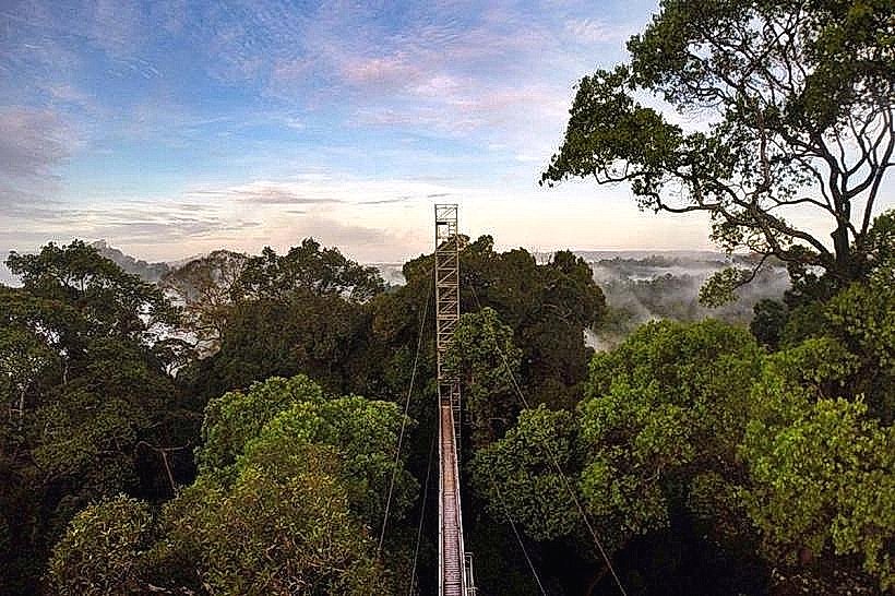
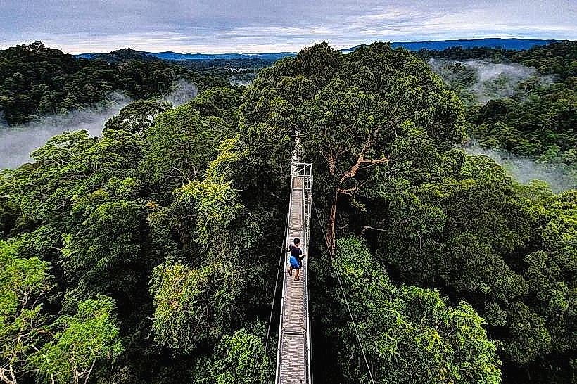
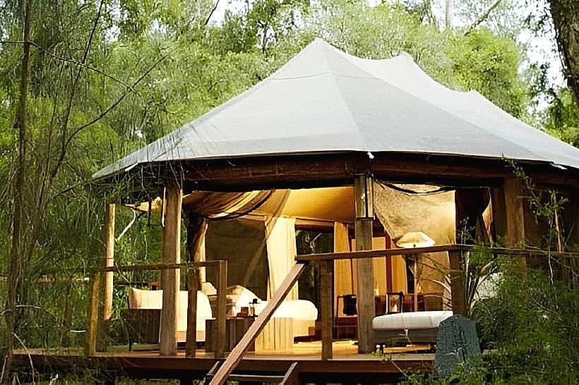
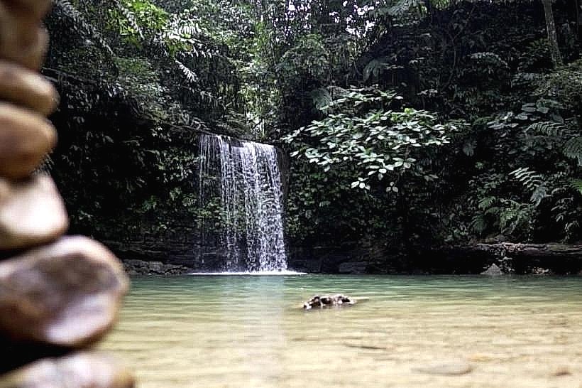
Boat tours along the river are the primary activity, offering views of the rainforest and opportunities to observe wildlife. Access to the Ulu Temburong National Park is facilitated via the river. Kayaking and fishing are possible in designated areas, subject to local regulations.
Infrastructure & Amenities
Basic amenities are available in Pekan Bangar, including food stalls and small shops. Restrooms are located in Pekan Bangar. Cell phone signal is intermittent along the river, with better reception closer to populated areas. Shade is provided by the dense forest canopy along most of the river's course.
Best Time to Visit
The dry season, from March to October, generally offers more predictable weather conditions for river travel. Early morning and late afternoon provide optimal lighting for photography due to softer sunlight. High tide is generally preferred for deeper draft vessels, though most river taxis operate throughout the day.
Facts & Legends
Local folklore suggests that the dark color of the river water is due to ancient tree roots that have leached tannins into the water over centuries. A specific tip for visitors is to observe the riverbanks closely for proboscis monkeys, particularly during dawn and dusk.
Nearby Landmarks
- Ulu Temburong National Park (10km Southwest)
- Pekan Bangar (Adjacent)
- Bangar Town Mosque (0.8km West)
- Temburong Bridge viewpoints (5km East)