Information
Landmark: Temburong RiverCity: Temburong
Country: Brunei
Continent: Asia
Temburong River, Temburong, Brunei, Asia
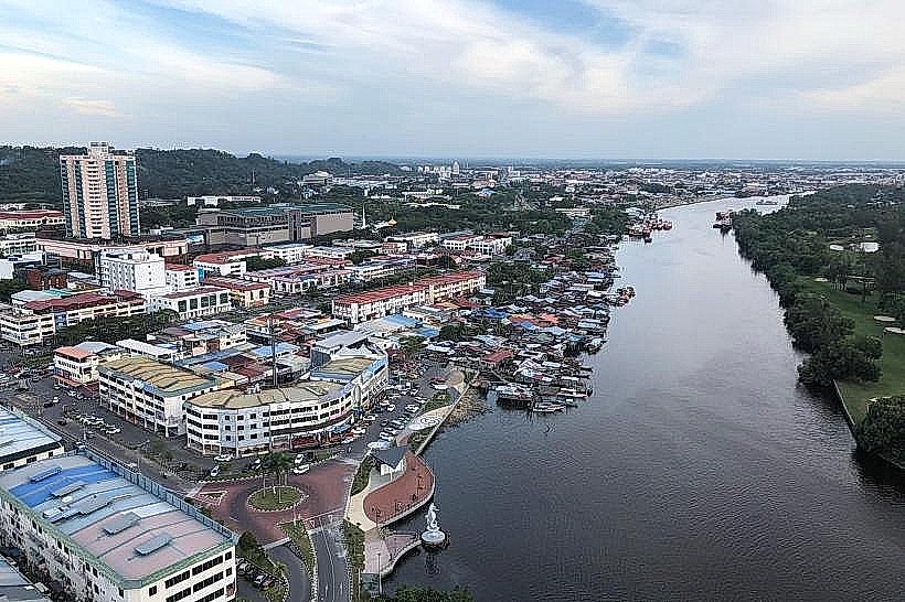
The Temburong River is a significant waterway located within the Temburong District of Brunei. It serves as a primary artery for transportation and ecological significance in the region.
Visual Characteristics
The river's water color varies from a muddy brown to a darker, tea-like hue, influenced by sediment and dissolved organic matter from the surrounding rainforest. The banks are densely vegetated with primary rainforest, characterized by tall emergent trees, thick undergrowth, and a high canopy. The river width fluctuates, averaging approximately 50-100 meters in its main navigable sections.
Location & Access Logistics
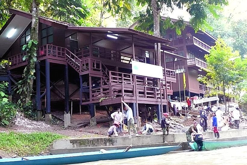
The Temburong River is accessible via boat from Bandar Seri Begawan. The journey typically involves a water taxi or a chartered boat departing from the Serasa Ferry Terminal. The travel time to Bangar Town, situated on the river, is approximately 45 minutes to 1 hour. Road access to the river itself is limited outside of Bangar Town, with the main road (Jalan Bangar Lama) running parallel to parts of its course. Parking is available in Bangar Town at designated public lots.
Historical & Ecological Origin
The Temburong River is a natural fluvial system, carved over millennia by erosion and water flow through the ancient rainforest landscape of Borneo. Its ecological origin is tied to the Brunei-Darussalam National Park, a protected area that maintains the river's water quality and surrounding biodiversity. Historically, it has been a vital route for indigenous communities and later for colonial administration and resource extraction.
Key Highlights & Activities
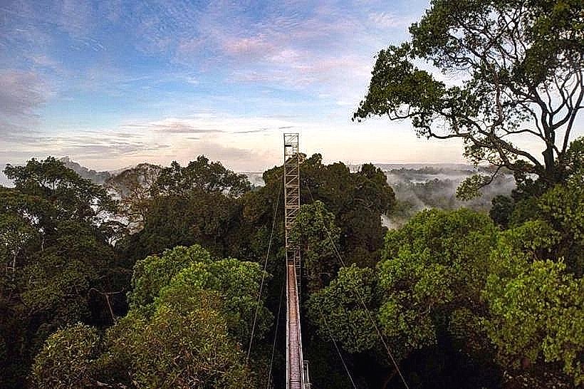
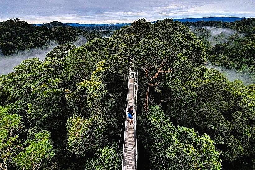
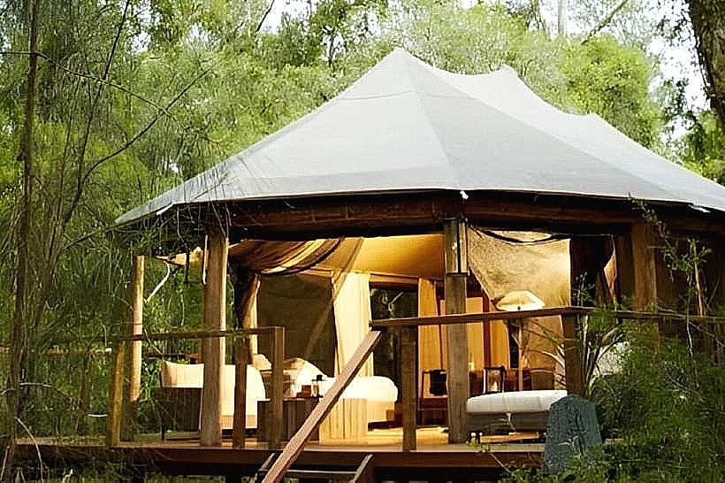
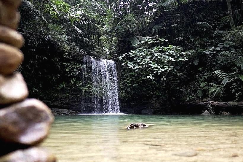
Boat tours along the river are the primary activity, offering views of the rainforest and opportunities to spot wildlife. Kayaking and canoeing are possible in calmer sections. Access to the Ulu Temburong National Park is facilitated by boat transfers upriver. Birdwatching is a common pursuit due to the diverse avian population.
Infrastructure & Amenities
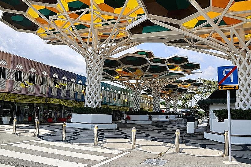
Basic amenities are available in Bangar Town, including small eateries and shops. Restrooms are located at the Bangar Town jetty. Cell phone signal (4G) is generally available in Bangar Town but can be intermittent along the river. Shade is provided by the dense rainforest canopy along most of the river's course.
Best Time to Visit
The best time for river travel is during the dry season, from March to October, to minimize disruptions from heavy rainfall. Mid-morning to late afternoon offers consistent daylight for observation. High tide is generally preferred for deeper draft vessels, though most tour boats operate throughout the day.
Facts & Legends
Local folklore speaks of river spirits that protect the rainforest. A specific navigational tip is to be aware of submerged logs and sandbanks, particularly during the dry season when water levels are lower.
Nearby Landmarks
- Ulu Temburong National Park (15km South)
- Bangar Town (Adjacent)
- Sungai Liang Industrial Area (10km West)
- Labu Estate (5km North)