Information
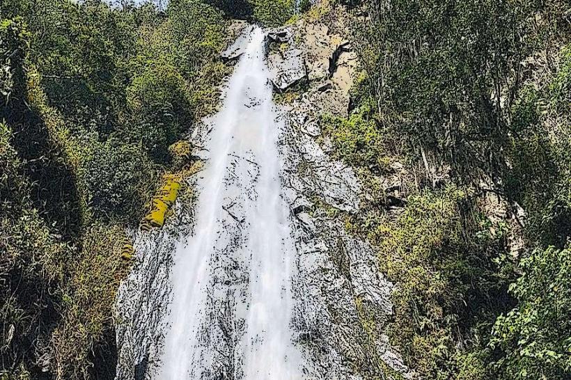
Landmark: Cascada de la IndiaCity: Merida
Country: Venezuela
Continent: South America
Cascada de la India, Merida, Venezuela, South America
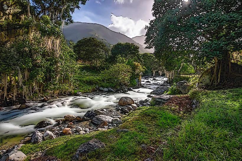
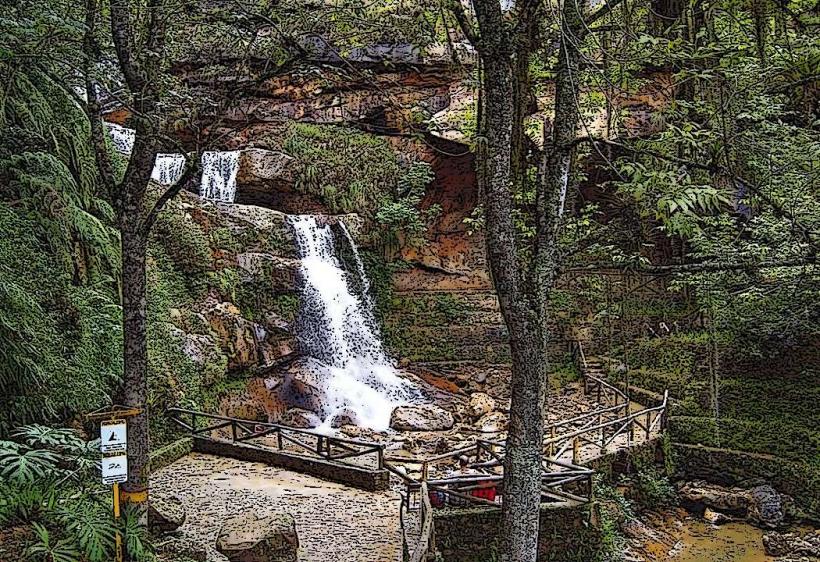
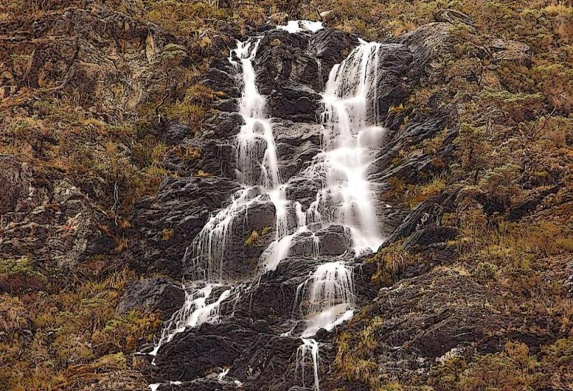
Cascada de la India is a waterfall located in the Sierra de Mérida mountain range, approximately 25 kilometers southwest of Mérida, Venezuela.
Visual Characteristics
The waterfall descends approximately 15 meters over a series of rock ledges. The water is clear, with a light green hue due to dissolved minerals. The surrounding vegetation is dense cloud forest, characterized by moss-covered trees and ferns.
Location & Access Logistics
Access is via the local road Mérida-La Carbonera. The turn-off for Cascada de la India is marked by a small sign approximately 25 kilometers from Mérida's city center. Parking is available on the shoulder of the road. From the road, a 10-minute walk on a dirt path leads to the waterfall base. No public transport directly serves the site; a private vehicle is required.
Historical & Ecological Origin
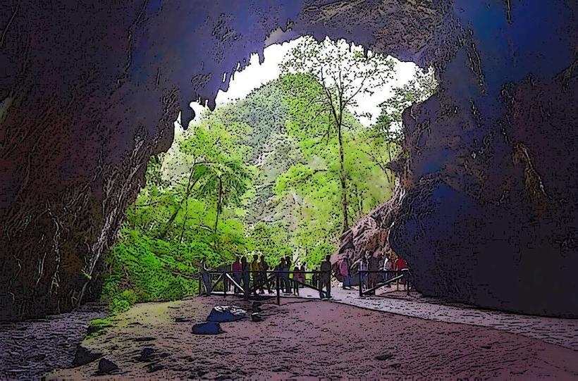
The waterfall is a natural geological formation, carved by water erosion over millennia. It is part of the Andean cloud forest ecosystem, a biome characterized by high humidity and consistent rainfall.
Key Highlights & Activities
Observation of the waterfall from its base. Photography is possible. The surrounding trails offer opportunities for short walks within the forest environment.
Infrastructure & Amenities
No formal infrastructure is present at the site. Restrooms, shade, and food vendors are not available. Cell phone signal is intermittent to non-existent.
Best Time to Visit
The best time of day for photography is between 10:00 AM and 2:00 PM, when sunlight penetrates the canopy. The months of December through March offer drier conditions, though rainfall is possible year-round. High water flow occurs during the rainy season (May-November).
Facts & Legends
Local folklore attributes the waterfall's name to an indigenous woman who is said to have disappeared into its waters. Geologically, the rock formations are primarily sedimentary, indicative of ancient lake beds.
Nearby Landmarks
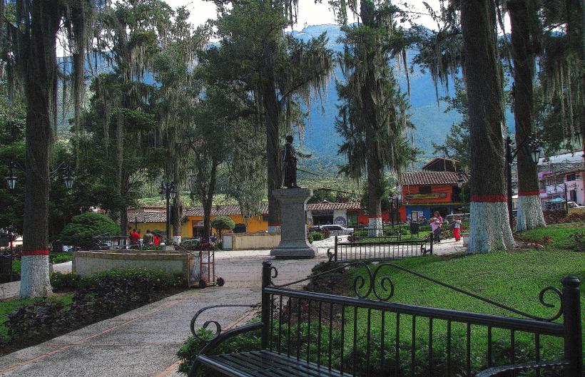
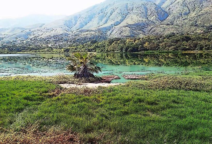
- Laguna de Mucubají (12km Southwest)
- Parque Nacional Sierra de la Culata (18km Northeast)
- Observatorio Astronómico Nacional de Llano del Hato (15km Southwest)
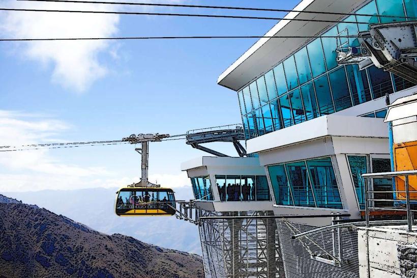
- Teleférico Mukumbarí (22km Northeast)