Information
Landmark: Sierra La CulataCity: Merida
Country: Venezuela
Continent: South America
Sierra La Culata, Merida, Venezuela, South America
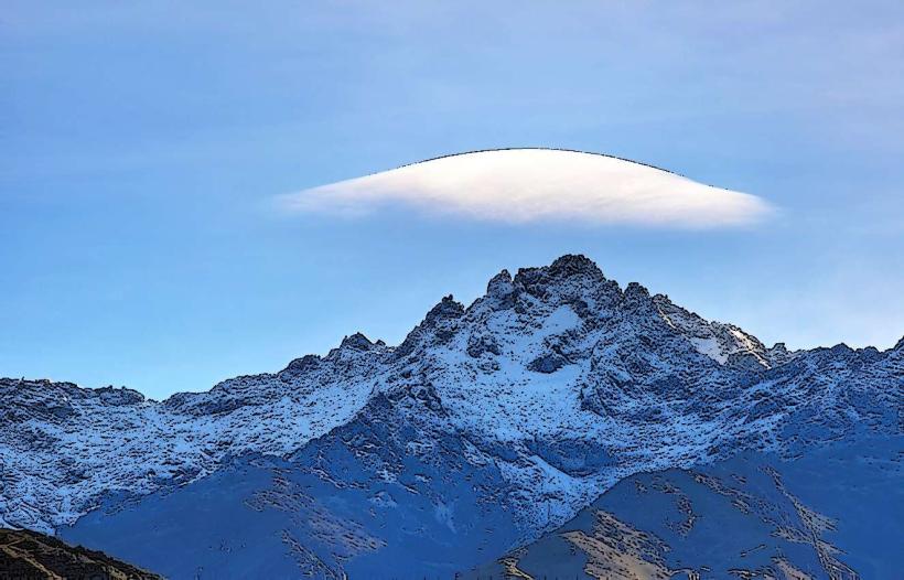
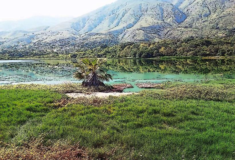
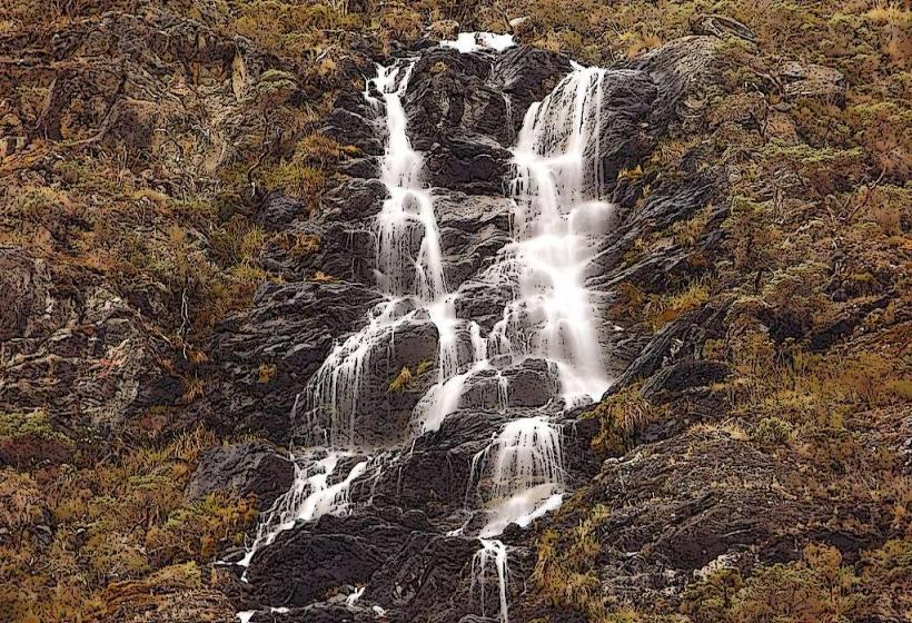
Sierra La Culata is a mountain range located in the Venezuelan Andes, west of Mérida city.
It forms part of the larger Venezuelan Andes mountain system and is known for its high peaks and páramo ecosystem.
Visual Characteristics
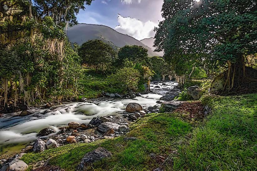
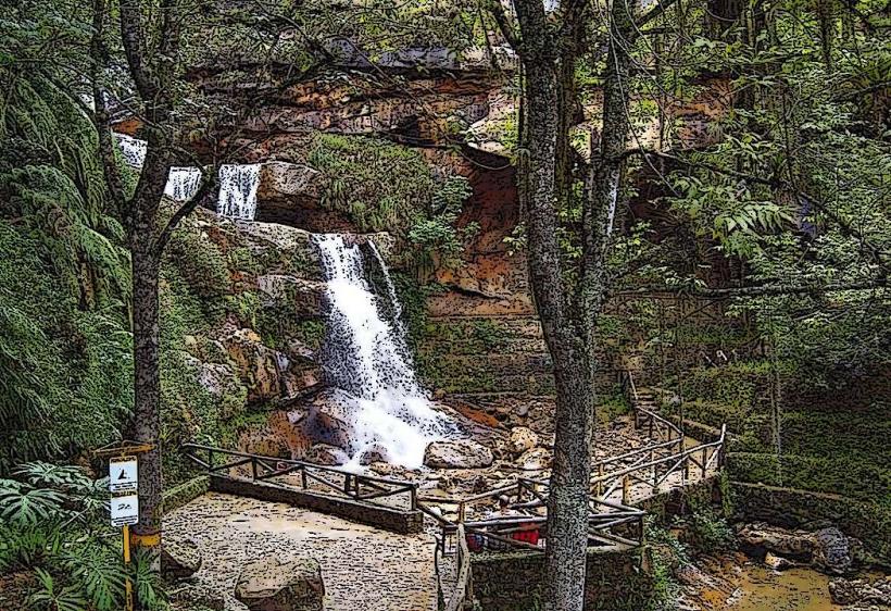
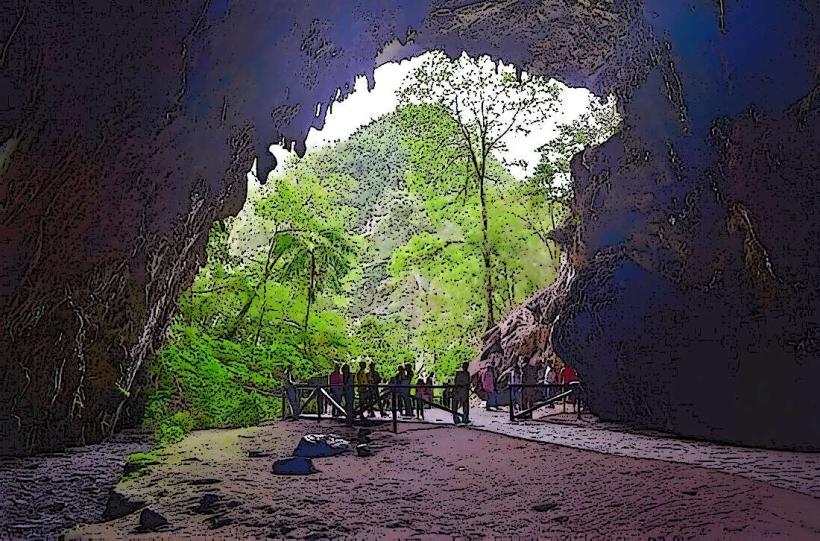
The terrain consists of steep, eroded slopes with exposed rock faces and scree fields. Vegetation is predominantly páramo, characterized by low-lying shrubs, grasses, and specialized high-altitude flora like frailejones (Espeletia spp.). Elevations range from approximately 2,000 meters to over 4,800 meters. Snowfall can occur at higher elevations during certain periods.
Location & Access Logistics
Access to Sierra La Culata is primarily via the Trans-Andean Highway (Carretera Transandina). From Mérida city center, drive west on the Trans-Andean Highway (R-7). The entrance to the Sierra La Culata National Park is approximately 25 kilometers from Mérida. Parking is available at designated trailheads and viewpoints along the highway. Public transport options are limited; local buses may travel along the Trans-Andean Highway, but specific stops within the park are not guaranteed. Hiring a private vehicle or taxi is the most reliable method.
Historical & Ecological Origin
Sierra La Culata is a geologically ancient mountain range, formed by tectonic uplift of the Andes. Its páramo ecosystem is a high-altitude grassland biome found in the northern Andes, adapted to cold temperatures, high humidity, and intense solar radiation. The area was designated as Sierra La Culata National Park in 1987 to protect its unique biodiversity and water resources.
Key Highlights & Activities
Hiking is a primary activity, with trails ranging from short walks to multi-day treks. The Pico Bolívar trail, though challenging, offers access to Venezuela's highest peak. Birdwatching is possible, with species like the Andean Condor and various hummingbirds present. Photography opportunities exist at sunrise and sunset, particularly of the páramo landscape. Camping is permitted in designated areas with proper permits.
Infrastructure & Amenities
Basic infrastructure within the park is minimal. Restrooms are generally not available along trails or at remote viewpoints. Shade is scarce in the páramo. Cell phone signal is unreliable and often absent at higher elevations. Food vendors are not present within the park; visitors should carry all necessary food and water. Basic services are available in nearby towns like Mucuchíes.
Best Time to Visit
The best time for clear views and hiking is during the dry season, from December to March. The wet season, from April to November, can bring frequent rain and fog, reducing visibility. For photography, early morning light offers soft illumination on the landscape. High altitudes can be cold year-round; temperatures can drop below freezing at night, especially at elevations above 3,500 meters.
Facts & Legends
A notable geological feature is the presence of glacial cirques and moraines, evidence of past glaciation. Local folklore speaks of spirits inhabiting the high peaks, influencing weather patterns. A specific tip for visitors is to acclimatize to the altitude gradually, as symptoms of altitude sickness can manifest quickly above 3,000 meters.
Nearby Landmarks
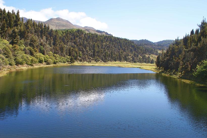
- Laguna de Mucubají (10km Northeast)
- Pico El Águila (15km West)
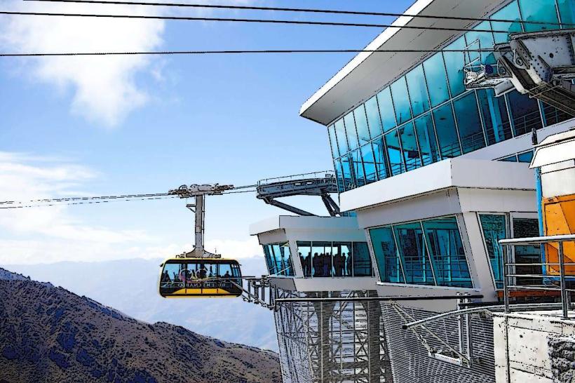
- Teleférico de Mérida (20km Southwest)
- Parque Nacional Juan Pablo Pérez Alfonso (25km Southeast)
- Ciudad de Mérida (25km Southwest)