Information
Landmark: Pico BolívarCity: Merida
Country: Venezuela
Continent: South America
Pico Bolívar, Merida, Venezuela, South America
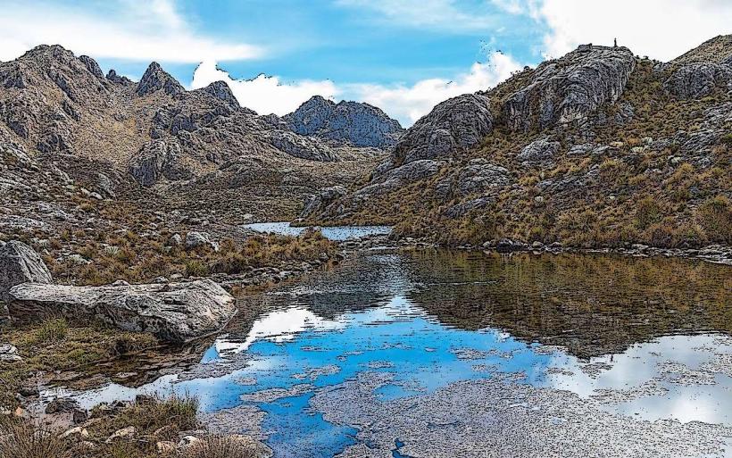
Pico Bolívar is Venezuela's highest mountain, situated within the Sierra Nevada National Park near Mérida.
This prominent peak is a significant geological feature within the Venezuelan Andes mountain range.
Visual Characteristics
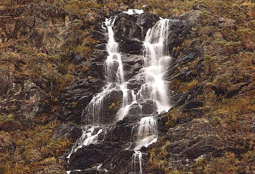
Pico Bolívar is a granite massif characterized by steep, rocky slopes and permanent snowfields at its summit. The rock faces are predominantly gray and brown, with exposed sections of metamorphic rock. Glacial cirques and arêtes are evident on its upper reaches. The summit elevation is 4,978 meters (16,332 feet).
Location & Access Logistics
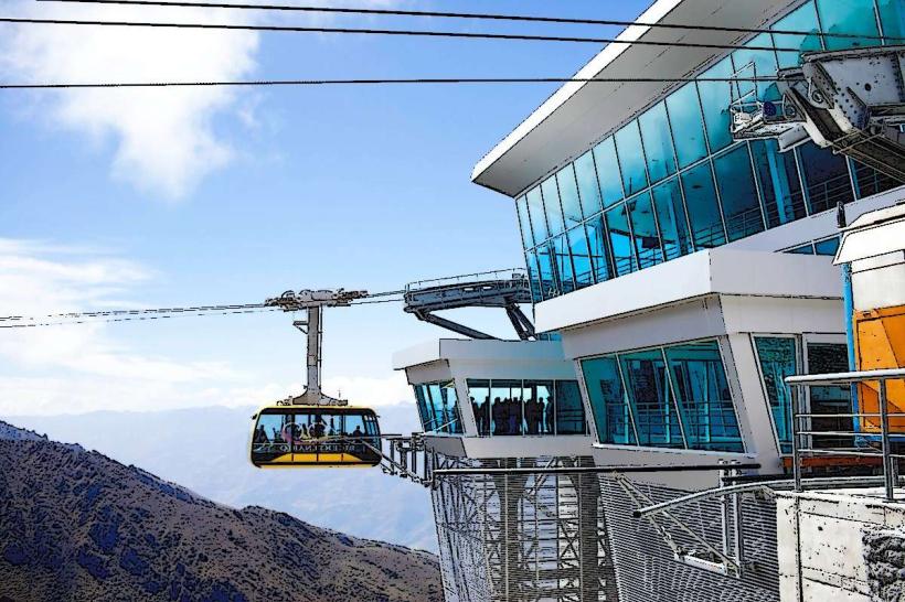
The mountain is located approximately 30 kilometers southwest of Mérida. Access to the Sierra Nevada National Park is via the Trans-Andean Highway (Ruta 7). From the town of La Aguada, a rough dirt track leads to the base of the Humboldt Cable Car station (Teleférico Mukumbarí). The cable car system ascends to a station near Pico Espejo, from which a challenging hiking route of approximately 5 kilometers leads to the summit of Pico Bolívar. Parking is available at the lower cable car station. Public transport to La Aguada is limited; private vehicles or taxis are the primary means of reaching the cable car base.
Historical & Ecological Origin
Pico Bolívar is a product of Andean orogeny, formed by tectonic uplift and subsequent glacial erosion. The massif is composed of Paleozoic metamorphic rocks, primarily schists and quartzites. Its current form is largely shaped by Pleistocene glaciation, which carved out its distinctive sharp ridges and cirques. The mountain is part of the páramo ecosystem, a high-altitude grassland biome.
Key Highlights & Activities
The primary activity is mountaineering, specifically the ascent to the summit. This requires advanced climbing skills and acclimatization due to the high altitude. The route from Pico Espejo involves traversing snowfields and rock sections. Photography of the surrounding Andean landscape is possible from various vantage points along the access route and from the summit.
Infrastructure & Amenities
Restrooms are available at the lower and upper stations of the Teleférico Mukumbarí. Limited food vendors operate at the lower cable car station. Cell phone signal is generally available at the lower station and within the cable car cabins, but is unreliable at higher altitudes and on the mountain itself. There is no direct shade on the mountain slopes.
Best Time to Visit
The dry season, from December to March, offers the most stable weather conditions for climbing. Mornings are typically clearer for photography. High altitude conditions can change rapidly, with afternoon cloud cover and potential snow or ice formation year-round.
Facts & Legends
The mountain was officially named Pico Bolívar in 1934, in honor of Simón Bolívar, the South American liberator. Prior to this, it was known by various indigenous names, including La Columna and Pico Humboldt. A notable historical event was the first recorded ascent by Italian geographer and explorer Agostino Codazzi in 1840.
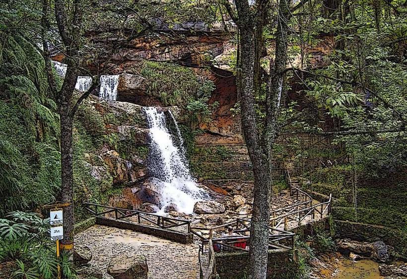
Nearby Landmarks
- Teleférico Mukumbarí (0.5km West)
- Pico Espejo (1.5km West)
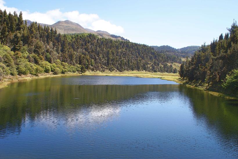
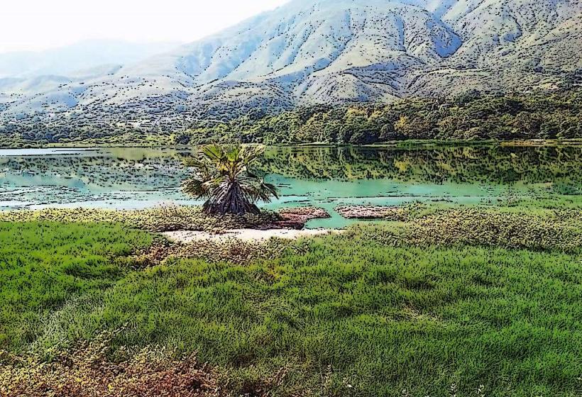
- Laguna Verde (3km Southwest)
- Sierra Nevada National Park Visitor Center (25km Northeast)
- Mérida City (30km Northeast)