Information
Landmark: Cerro AtacamaCity: Arica
Country: Chile
Continent: South America
Cerro Atacama, Arica, Chile, South America
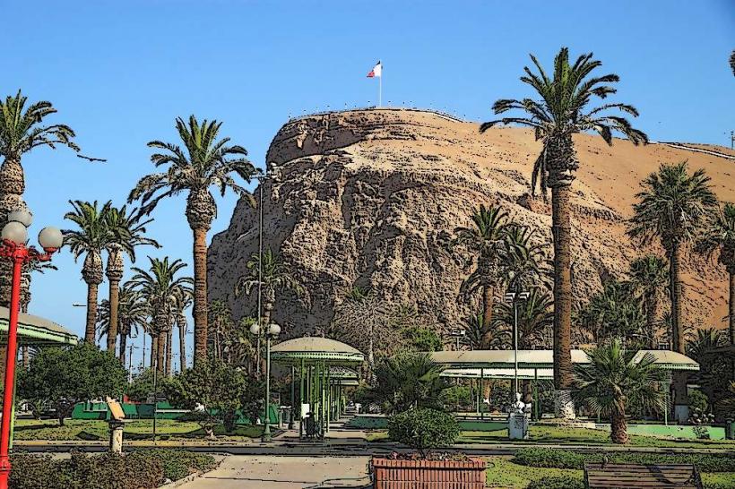
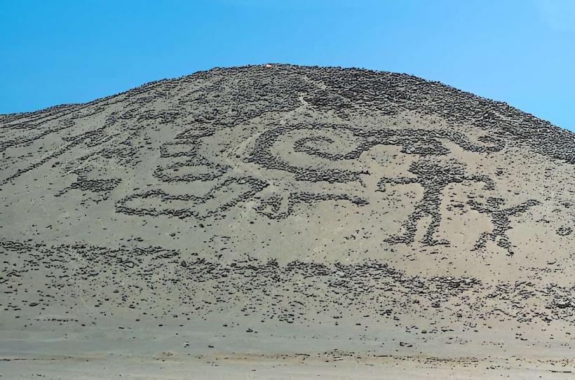
Cerro Atacama is a prominent geological formation situated within the city limits of Arica, Chile.
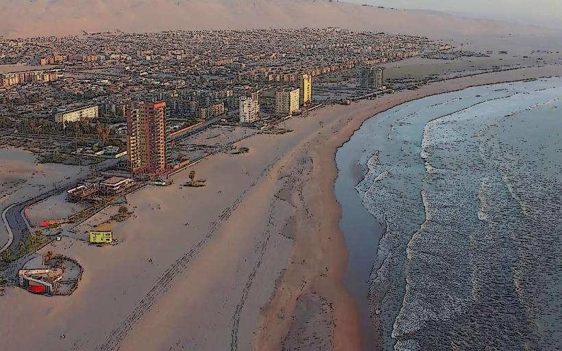
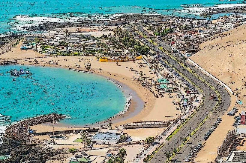
This elevated landform offers panoramic views of the surrounding urban and coastal landscape.
Visual Characteristics
Cerro Atacama is composed primarily of arid, rocky terrain with sparse desert vegetation. Its slopes are characterized by exposed sedimentary rock and gravel. The summit reaches an elevation of approximately 120 meters above sea level. The color palette is dominated by ochre, brown, and grey tones, typical of the Atacama Desert environment.
Location & Access Logistics
The base of Cerro Atacama is located approximately 2 kilometers east of Arica's city center. Access is via Avenida Santa Maria, which leads to a paved road that ascends the western flank of the hill. Parking is available at designated points near the summit. Public transport options include local bus lines that service Avenida Santa Maria; passengers can disembark at stops closest to the hill's base and proceed on foot.
Historical & Ecological Origin
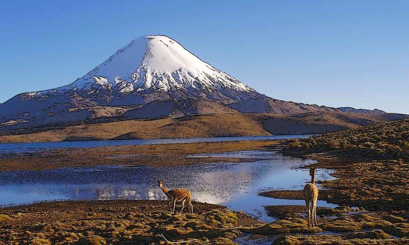
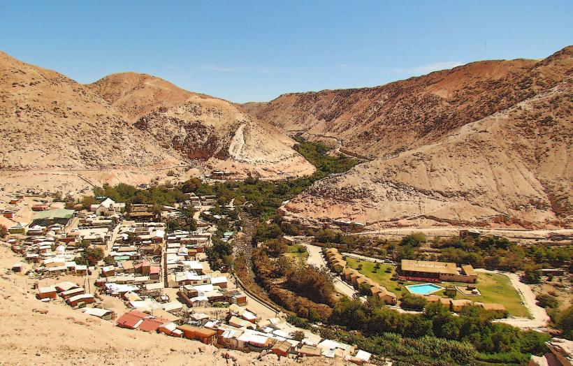
Cerro Atacama is a remnant of ancient geological processes, likely formed by erosion of older sedimentary layers over millennia. Its ecological classification is hyper-arid desert, with flora adapted to extreme dryness, such as small shrubs and cacti.
Key Highlights & Activities
Visitors can hike to the summit via the paved road. The summit area provides vantage points for observing the city, the Pacific Ocean, and the desert plains. Photography is a primary activity due to the expansive views, particularly during sunrise and sunset.
Infrastructure & Amenities
Limited infrastructure is present. A small parking area is available at the summit. There are no permanent restroom facilities or food vendors directly on the hill. Cell phone signal (4G/5G) is generally available at the summit.
Best Time to Visit
For photography, the hours around sunrise (approximately 06:00-07:30) and sunset (approximately 18:30-20:00) offer optimal lighting conditions. The months of April through October provide more moderate daytime temperatures, with average highs around 20-25 degrees Celsius. Avoid midday during summer months (December-February) due to intense solar radiation.
Facts & Legends
Local lore suggests that ancient Aymara peoples used the summit as a strategic observation point. A specific tip for visitors is to wear sturdy footwear, as some sections of the unpaved trails can be uneven and loose.
Nearby Landmarks
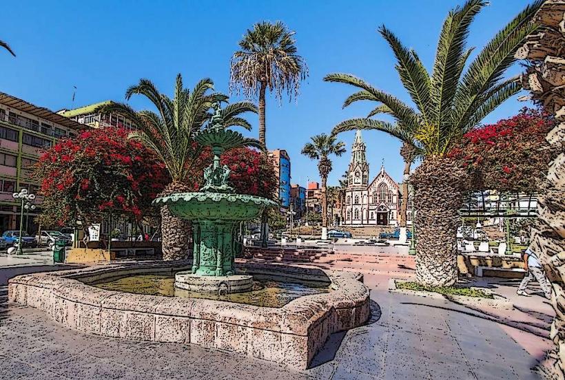
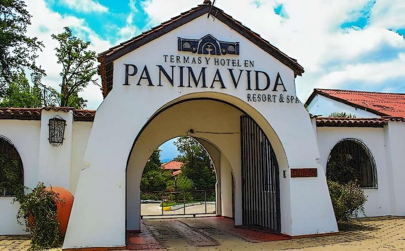
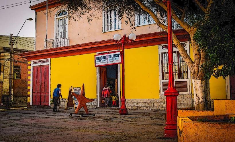
- Plaza Colón (0.8km West)
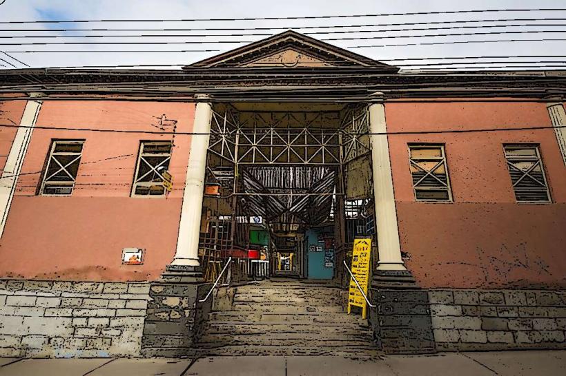
- Mercado Central de Arica (1.2km West)
- Museo Arqueológico y Antropológico San Miguel de Azapa (15km Southeast, accessible via Route 11-CH)
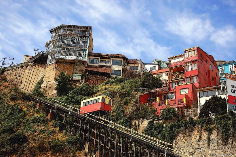
- Morro de Arica (1.5km West)
- Bahía de Arica (1.0km West)