Information
Landmark: Geoglifos de PintadosCity: Arica
Country: Chile
Continent: South America
Geoglifos de Pintados, Arica, Chile, South America
The Geoglifos de Pintados are a collection of geoglyphs located in the Atacama Desert near Arica, Chile.
These large-scale designs are etched into the desert landscape.
Visual Characteristics
The geoglyphs are formed by removing the dark desert varnish from the surface rocks, exposing lighter soil beneath. Designs include anthropomorphic figures, zoomorphic shapes (such as llamas and birds), and geometric patterns. The scale of the figures can range from a few meters to over 100 meters in length.
Location & Access Logistics
The site is situated approximately 90 kilometers northeast of Arica, Chile, along the Pan-American Highway (Ruta 5 Norte). Access is via a dirt track branching off the highway, marked by signage. Parking is available at designated points near the geoglyph clusters. Public transport directly to the site is not available; private vehicle or organized tour is required.
Historical & Ecological Origin
The geoglyphs are attributed to pre-Columbian cultures, primarily the Azapa and Tiliviche cultures, dating between 900 and 1500 AD. They are believed to have served astronomical, ritualistic, or territorial marking purposes. The arid desert environment with its stable climate has preserved these large-scale earthworks.
Key Highlights & Activities
Observation of the geoglyph designs from designated viewpoints. Walking along marked paths to view specific figures. Photography of the geoglyphs against the desert backdrop.
Infrastructure & Amenities
Limited infrastructure is present. Designated viewing platforms and informational signage are available at key points. Restrooms are not consistently available at the immediate site. Cell phone signal is generally weak to non-existent. No food vendors are located directly at the geoglyph site.
Best Time to Visit
The best time of day for viewing and photography is during the early morning or late afternoon when the low sun angle creates shadows that enhance the visibility of the geoglyphs. The dry season, from March to November, offers the most stable weather conditions. High tide or low tide is not applicable.
Facts & Legends
One of the most prominent geoglyphs is the "Gigante de Atacama" (Atacama Giant), a large anthropomorphic figure believed to represent a deity or shaman. Local folklore suggests these figures were created by ancient peoples to guide travelers or communicate with celestial bodies.
Nearby Landmarks
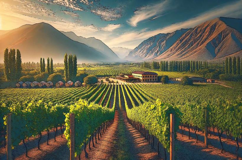
- Valle de Azapa (0.5km West)
- Museo Arqueológico de San Miguel de Azapa (10km West)
- Cerro Sagrado (15km Southwest)
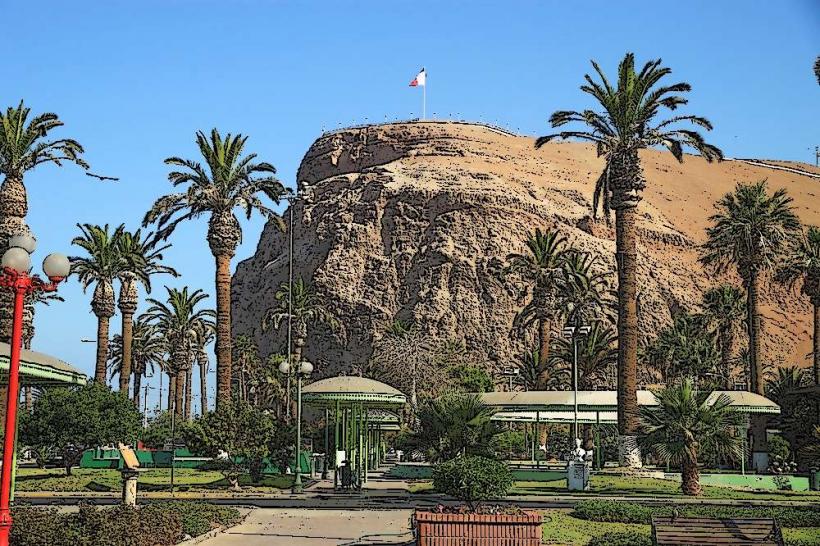
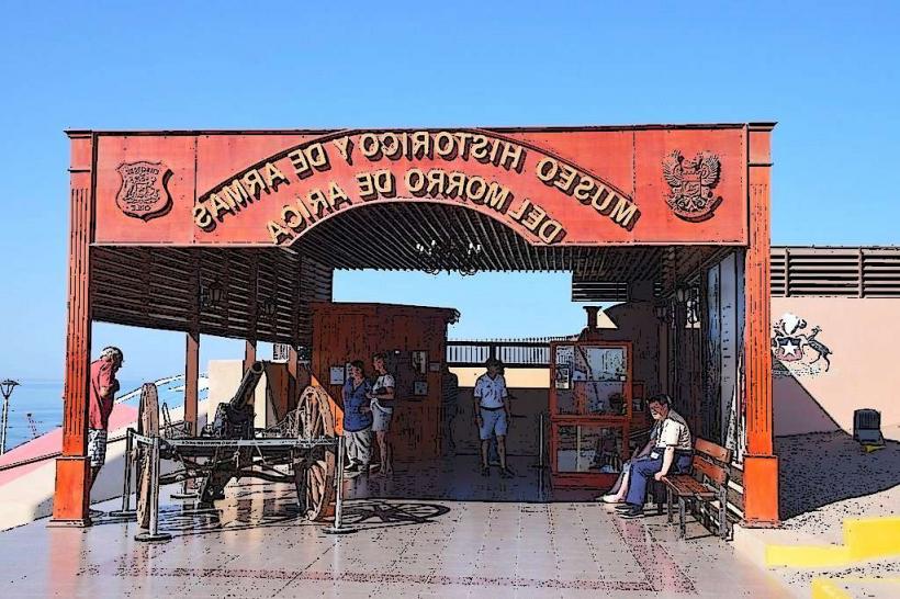
- Morro de Arica (90km Southwest)