Information
Landmark: Parque Nacional LaucaCity: Arica
Country: Chile
Continent: South America
Parque Nacional Lauca, Arica, Chile, South America
Parque Nacional Lauca is a protected area located in the Parinacota Province of the Arica and Parinacota Region in northern Chile.
This high-altitude national park encompasses diverse ecosystems, including Andean altiplano, wetlands, and volcanic landscapes.
Visual Characteristics
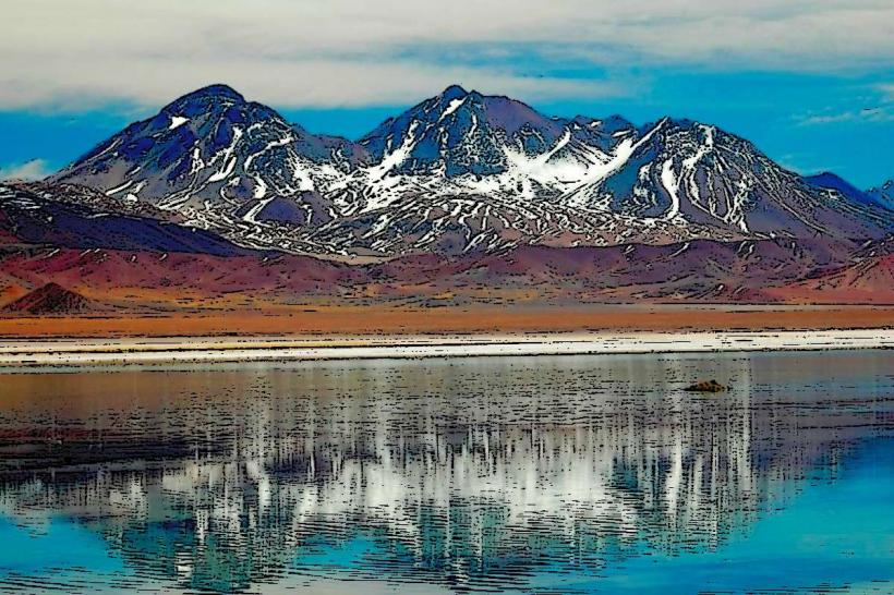
The park features the Parinacota Volcano, an active stratovolcano with a symmetrical cone reaching 6,348 meters (20,827 feet). Lake Chungará, one of the highest lakes in the world, is characterized by its deep blue water, reflecting the surrounding peaks. The altiplano vegetation consists of sparse grasses, low shrubs, and cushion plants adapted to arid, high-altitude conditions. Rock formations are predominantly volcanic, with evidence of past lava flows and ash deposits.
Location & Access Logistics
Parque Nacional Lauca is situated approximately 165 kilometers (103 miles) east of Arica. Access is via Route 11-CH (Pan-American Highway) eastward, then transitioning to Route 27-CH towards Putre. From Putre, continue on Route 27-CH for approximately 40 kilometers (25 miles) to the park entrance. Parking is available at designated visitor areas and trailheads. Public transport options are limited; bus services operate between Arica and Putre, from where local transport or pre-arranged tours are necessary to reach the park interior.
Historical & Ecological Origin
The geological origin of Parque Nacional Lauca is primarily volcanic, with the Parinacota Volcano and surrounding peaks forming part of the Central Volcanic Zone of the Andes. Lake Chungará is a glacial lake formed by the damming of a valley by glacial moraines and volcanic debris. The park was established as a national park in 1970 to preserve its unique high-altitude ecosystems and geological features.
Key Highlights & Activities
Hiking is possible on designated trails, including routes around Lake Chungará and to viewpoints overlooking the volcanoes. Wildlife observation is a primary activity, with opportunities to see vicuñas, alpacas, llamas, Andean condors, and various waterfowl. Photography is recommended at sunrise and sunset for optimal lighting on the volcanic peaks and lake. Birdwatching is significant, particularly around the wetlands and lake shores.
Infrastructure & Amenities
Basic visitor facilities are present, including a park ranger station near the entrance. Restrooms are available at key visitor points. Shade is minimal due to the sparse vegetation. Cell phone signal is unreliable and generally absent within most of the park. Food vendors are not present within the park; visitors must carry their own provisions. Basic accommodation options are available in the nearby town of Putre.
Best Time to Visit
The best months for visiting are from April to November, avoiding the heavier rainfall of the altiplano winter (December to March). The dry season offers clearer skies and more stable weather. For photography, early morning (sunrise) and late afternoon (sunset) provide the most favorable light conditions for capturing the volcanic landscapes. Altitude sickness is a consideration; acclimatization in Putre (3,500 meters) before entering the park is advised.
Facts & Legends
A local legend suggests that the symmetrical shape of Parinacota Volcano is the result of a giant's attempt to carry it away, but he dropped it, leaving it in its current position. The park's altitude requires visitors to be prepared for significant temperature fluctuations, with daytime temperatures potentially reaching 15°C (59°F) and dropping below freezing at night.
Nearby Landmarks
- Putre (15km Southwest)
- Salitreras de Humberstone (140km West)
- Arica (165km West)
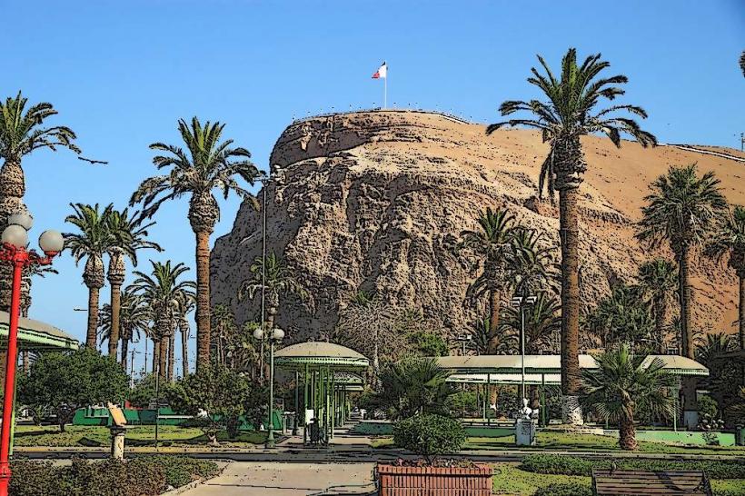
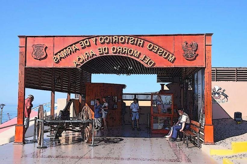
- Morro de Arica (165km West)
- Valle de Azapa (150km West)