Information
Landmark: Morro de AricaCity: Arica
Country: Chile
Continent: South America
Morro de Arica, Arica, Chile, South America
Morro de Arica is a prominent geological formation located on the coast of Arica, Chile.
This large rock promontory serves as a significant natural and historical site overlooking the Pacific Ocean.
Visual Characteristics
Morro de Arica is a steep, conical rock cliff composed primarily of sedimentary rock. Its exposed surfaces are weathered and show varying shades of brown and grey. The summit reaches an elevation of approximately 110 meters (360 feet) above sea level. Vegetation is sparse, consisting mainly of drought-resistant shrubs and grasses clinging to its slopes.
Location & Access Logistics
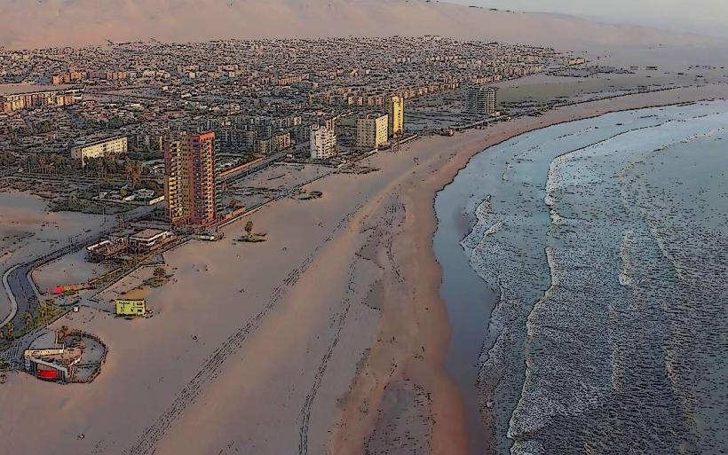
The Morro de Arica is situated at the eastern edge of the city of Arica, approximately 1 kilometer (0.6 miles) east of the city center. Access is via Avenida Comandante San Martín, which leads to the base of the Morro. A paved road, Avenida Manuel Rodríguez, ascends to the summit. Parking is available at the base and at designated areas near the summit. Public transport bus lines 1, 2, 7, and 8 stop near the base of the Morro.
Historical & Ecological Origin
Geologically, the Morro de Arica is a marine terrace, uplifted over millennia. It formed as a result of tectonic activity and erosion. Historically, its strategic elevation made it a key defensive position. It was the site of a significant battle during the War of the Pacific in 1880, where Chilean forces captured it from Peruvian control.
Key Highlights & Activities
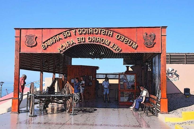
Visitors can ascend to the summit via the paved road or designated walking paths. At the summit, a historical museum detailing the 1880 battle is present. Observation decks offer panoramic views of the city, the coastline, and the Pacific Ocean. Photography is a primary activity due to the expansive vistas.
Infrastructure & Amenities
Restrooms are available at the summit near the museum. Shade is limited to the museum building and a few small structures. Cell phone signal (4G/5G) is generally strong at the summit. Food vendors are typically located at the base of the Morro or within the city center.
Best Time to Visit
For photography, the late afternoon (approximately 4:00 PM to 6:00 PM) provides favorable lighting conditions with the sun setting over the Pacific. The best months for weather are generally from March to November, avoiding the peak summer heat and potential coastal fog during winter months. No tide-specific considerations apply.
Facts & Legends
A notable historical artifact at the summit museum is the cannonball that reportedly struck the Morro during the 1880 battle, marking the final assault. Local lore sometimes refers to the Morro as a silent guardian of the city, having witnessed centuries of coastal activity.
Nearby Landmarks
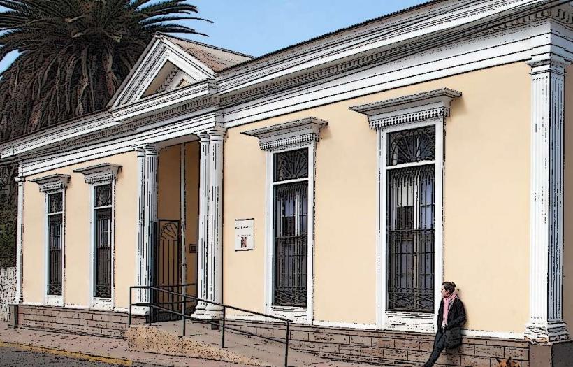
- Museo Histórico y de Armas de Arica (0.1km West)
- Plaza Colón (0.8km West)
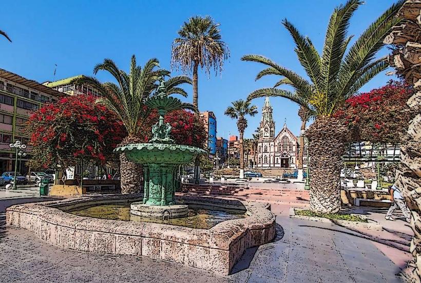
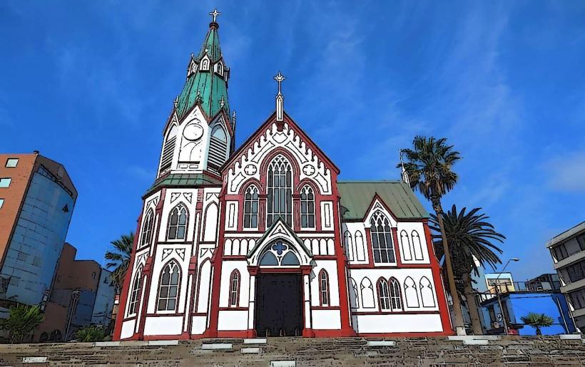
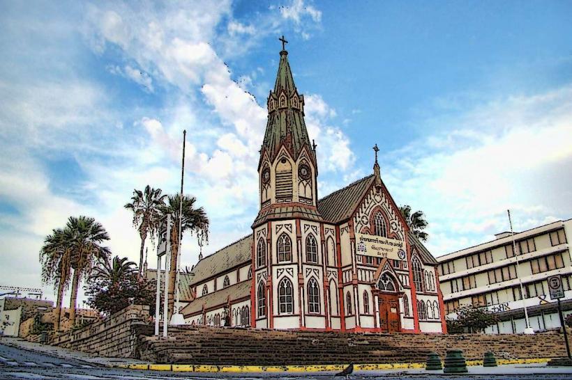
- Arica Cathedral (1km West)
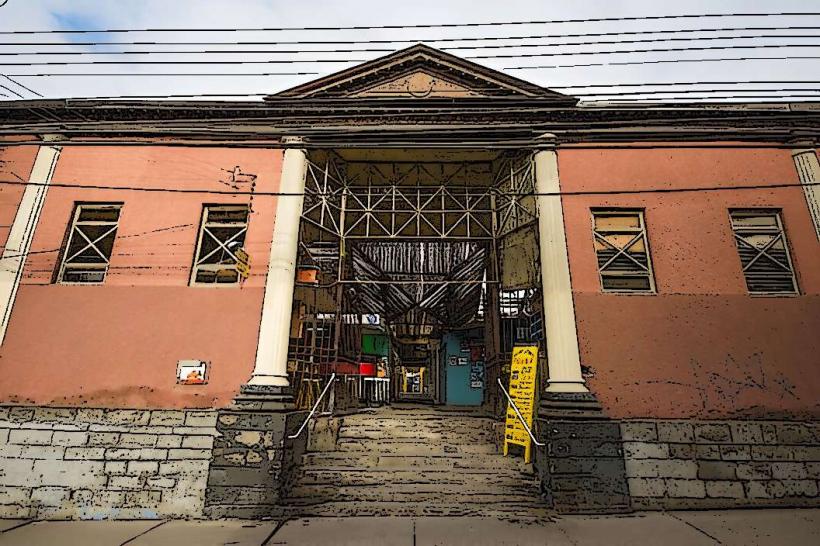
- Mercado Central de Arica (1.2km West)
- El Laucho Beach (2.5km Northwest)