Information
Landmark: Cerro MorenoCity: Antofagasta
Country: Chile
Continent: South America
Cerro Moreno, Antofagasta, Chile, South America
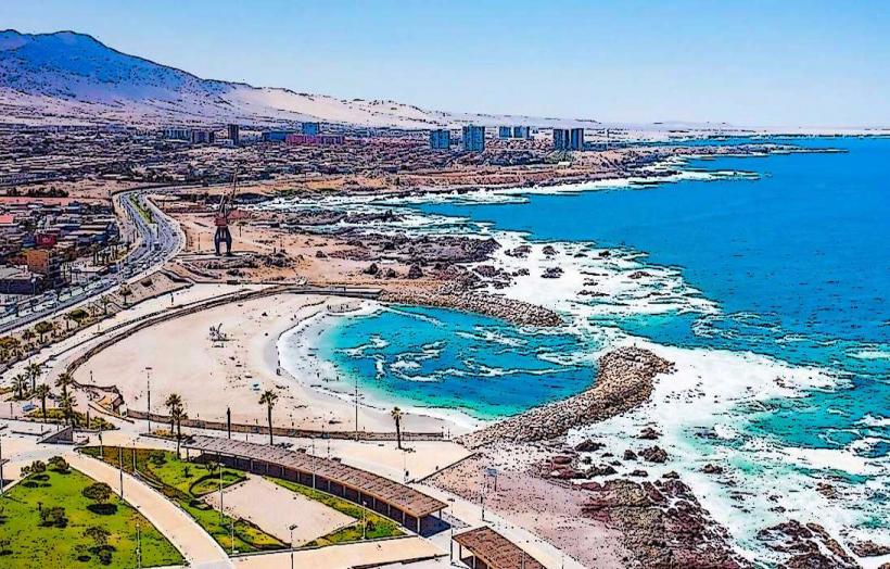
Cerro Moreno is a coastal mountain range situated west of Antofagasta, Chile. It forms a significant geological feature along the Pacific coastline.
Visual Characteristics
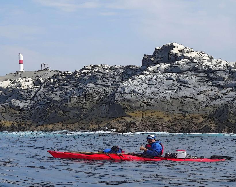
The terrain consists of arid, rocky slopes with sparse vegetation, primarily low-lying shrubs and cacti adapted to desert conditions. The rock formations are predominantly sedimentary and volcanic, exhibiting shades of brown, grey, and ochre. The elevation reaches approximately 1,000 meters (3,280 feet) above sea level. The western face directly overlooks the Pacific Ocean, presenting a stark contrast between land and sea.
Location & Access Logistics
Cerro Moreno is located approximately 15 kilometers (9.3 miles) southwest of Antofagasta's city center. Access is primarily via the Ruta 1 (Ruta Costanera) highway. Turn off onto the unpaved road leading towards the Cerro Moreno viewpoint. Parking is available at designated pull-offs along this access road. Public transport does not directly service the immediate vicinity of the higher elevations; bus routes terminate closer to the city. The final ascent requires a vehicle capable of handling unpaved, uneven terrain.
Historical & Ecological Origin
Geologically, Cerro Moreno is part of the Coastal Range of the Andes, formed by tectonic uplift and volcanic activity over millions of years. Its arid environment is a direct result of the Atacama Desert's rain shadow effect. Ecologically, it represents a transition zone between the hyper-arid desert and the coastal marine environment, supporting specialized flora and fauna.
Key Highlights & Activities
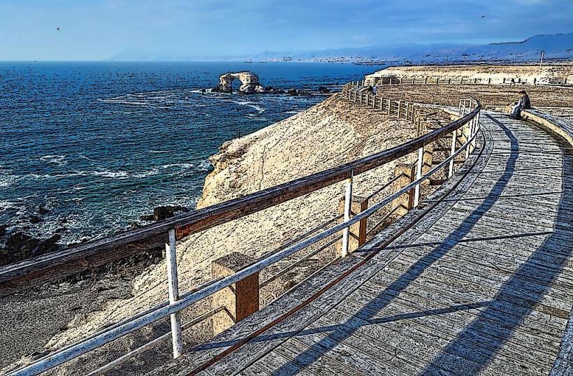
Hiking is possible on established and informal trails across the slopes. Observation points offer panoramic views of Antofagasta, the Pacific Ocean, and the surrounding desert landscape. Birdwatching is a notable activity, with species adapted to arid coastal environments present. Photography of the geological formations and ocean vistas is recommended.
Infrastructure & Amenities
There are no formal infrastructure or amenities on Cerro Moreno itself. Restrooms, shade structures, and food vendors are not available. Cell phone signal (4G/5G) is intermittent and generally weak at higher elevations.
Best Time to Visit
The best time of day for photography is during the early morning or late afternoon when the sun angle creates distinct shadows and highlights on the rock formations. The months of May through September offer more moderate temperatures, though rainfall is extremely rare year-round. There are no tidal considerations for visiting Cerro Moreno.
Facts & Legends
Local folklore suggests that ancient indigenous peoples used the higher points of Cerro Moreno for astronomical observations due to its clear skies and elevated position. A specific tip for visitors is to carry sufficient water, as the arid conditions can lead to dehydration quickly.
Nearby Landmarks
- Parque Nacional Pan de Azúcar (25km Northwest)
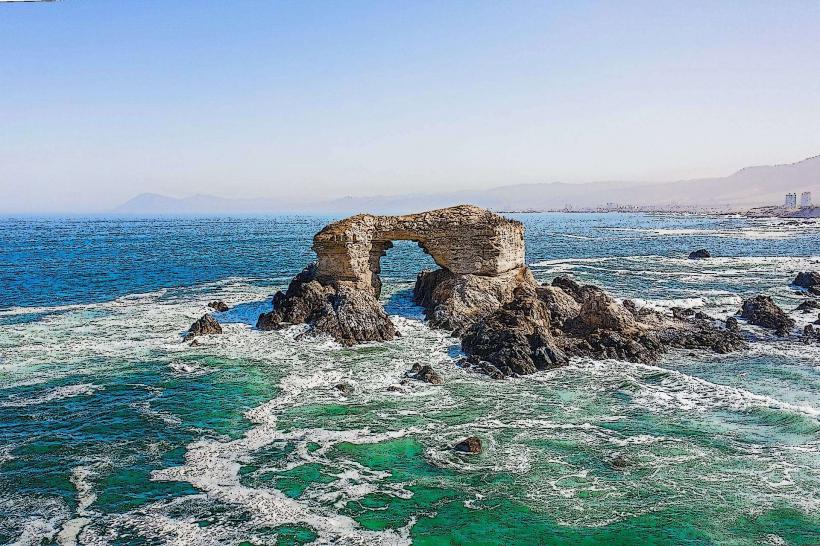
- La Portada Natural Monument (10km North)
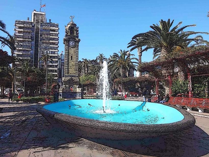
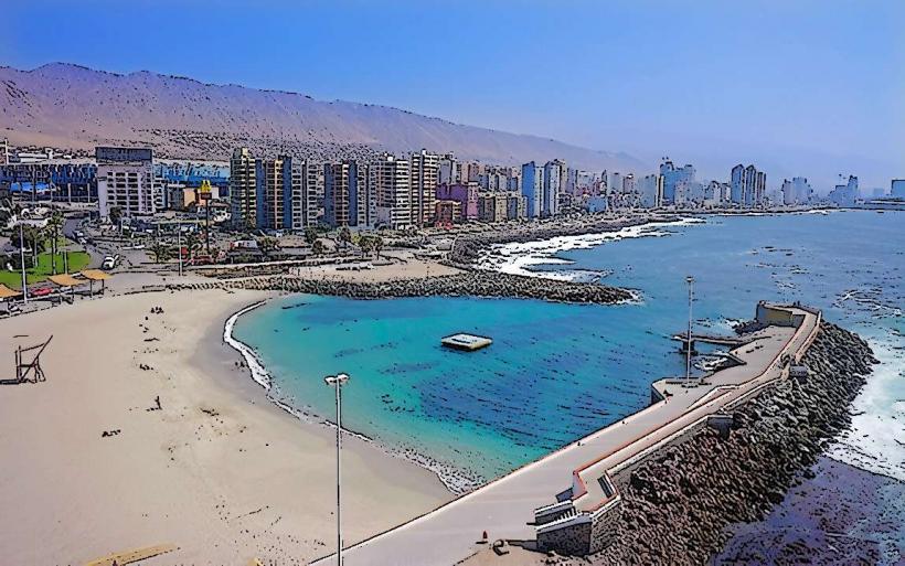
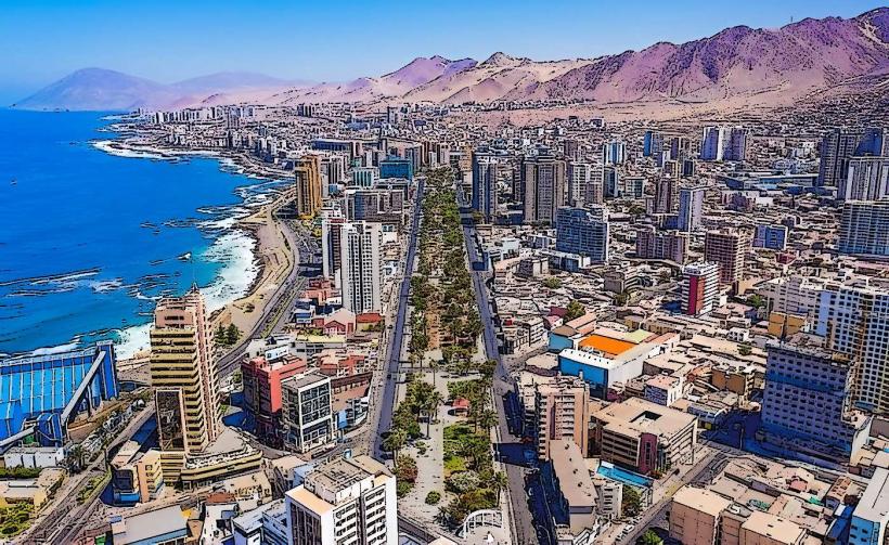
- Antofagasta City Center (15km Northeast)
- Museo Regional de Antofagasta (16km Northeast)
- Bahía de Mejillones (40km North)