Information
Landmark: Punta de TetasCity: Antofagasta
Country: Chile
Continent: South America
Punta de Tetas, Antofagasta, Chile, South America
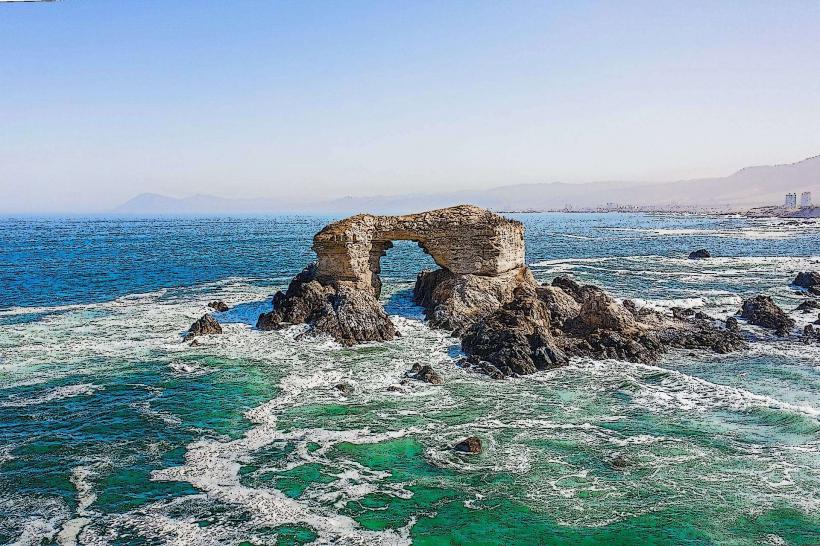
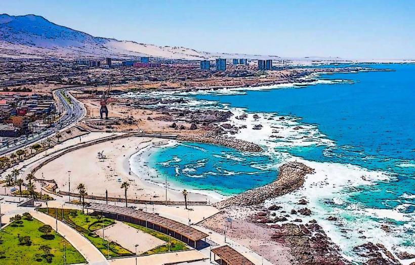
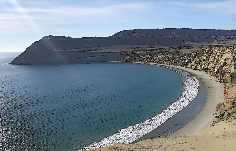
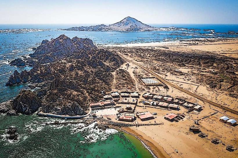
Punta de Tetas is a coastal rock formation located on the Pacific Ocean shoreline, south of Antofagasta, Chile.
This geological feature is characterized by its weathered sandstone composition and its prominent position against the sea.
Visual Characteristics
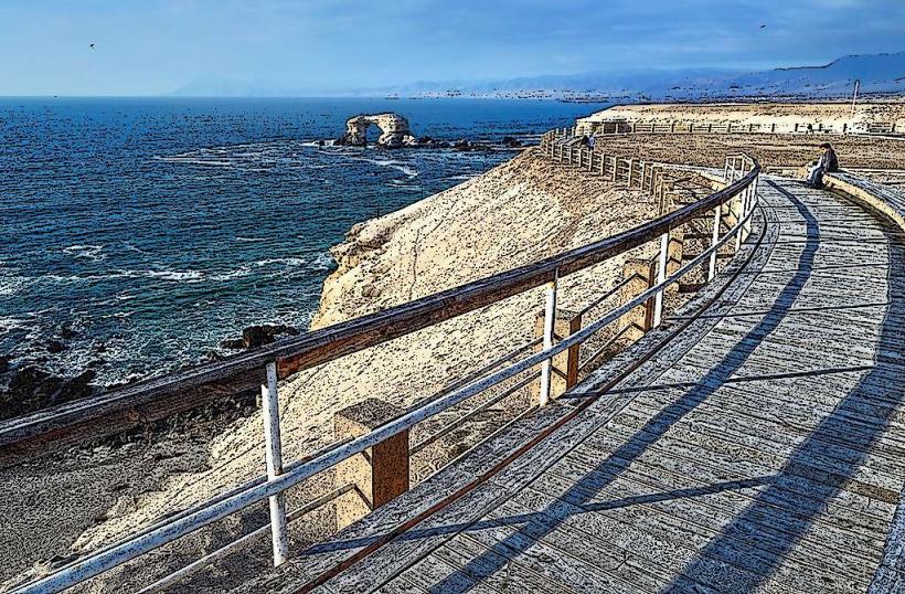
The formation consists of eroded sandstone cliffs and sea stacks. The rock color ranges from light tan to reddish-brown, depending on mineral content and weathering. The height of the main formations varies, with some sections reaching approximately 20 meters above sea level. The coastline here is rocky, with wave-cut platforms and small coves.
Location & Access Logistics
Punta de Tetas is situated approximately 15 kilometers south of Antofagasta's city center. Access is via the Ruta 1 (Ruta Costera) highway. Turn off the highway at the clearly marked access road leading to the coastal area. Parking is available in an unpaved lot adjacent to the access path. Public transport options are limited; the closest bus stop is several kilometers north on Ruta 1, requiring a significant walk.
Historical & Ecological Origin
Punta de Tetas is a product of coastal erosion acting upon sedimentary rock formations. The sandstone is believed to be of Miocene epoch origin. The constant action of waves and wind has sculpted the rock over millennia, creating the distinctive shapes observed today. Ecologically, it forms part of the coastal desert biome, with sparse vegetation adapted to arid conditions.
Key Highlights & Activities
Observation of the rock formations and the surrounding marine environment is the primary activity. The area is suitable for photography, particularly during sunrise and sunset. Coastal walks along the designated paths are possible, but caution is advised due to uneven terrain and proximity to the sea. Birdwatching is also an option, with various seabirds frequenting the area.
Infrastructure & Amenities
There are no permanent infrastructure facilities at Punta de Tetas. Visitors should bring their own water and food. Restroom facilities are not available. Cell phone signal (4G/5G) is generally weak to non-existent in this remote location. There are no designated shade structures.
Best Time to Visit
For photography, the hours around sunrise and sunset offer optimal lighting conditions. The weather in Antofagasta is generally arid year-round. The driest months are typically from December to March. Wind conditions can be a factor, with stronger gusts often occurring in the afternoon.
Facts & Legends
The name "Punta de Tetas" (Tits Point) is attributed to the rounded, breast-like shapes of some of the eroded rock formations. Local folklore sometimes associates these shapes with ancient fertility symbols, though this is not historically verified.
Nearby Landmarks
- Parque Nacional Pan de Azúcar (25km South)
- La Portada (10km North)
- Ruinas de Huanchaca (12km North)
- Museo Regional de Antofagasta (16km North)