Information
Landmark: Parque Nacional Pan de AzúcarCity: Antofagasta
Country: Chile
Continent: South America
Parque Nacional Pan de Azúcar, Antofagasta, Chile, South America
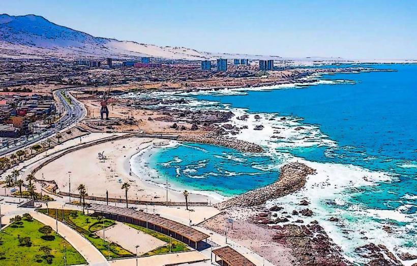
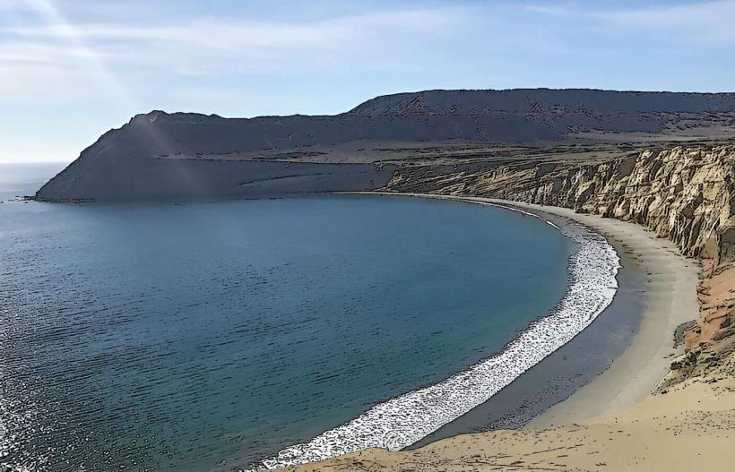
Parque Nacional Pan de Azúcar is a coastal national park situated in the Antofagasta Region of northern Chile.
This protected area encompasses a significant portion of the Atacama Desert coastline, extending into the Pacific Ocean.
Visual Characteristics
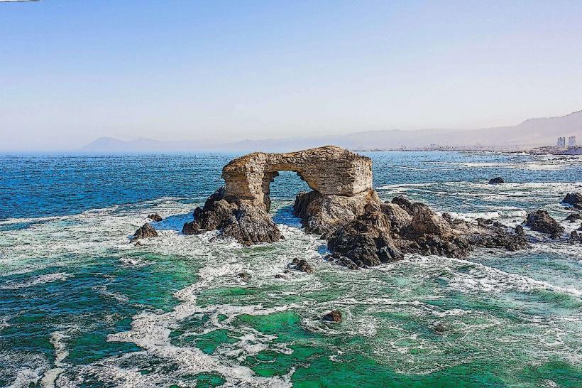
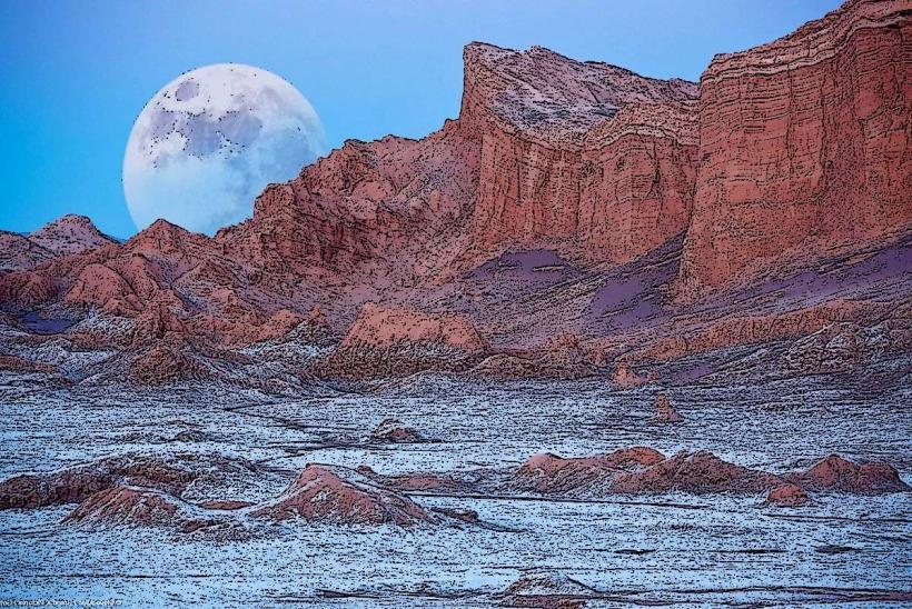
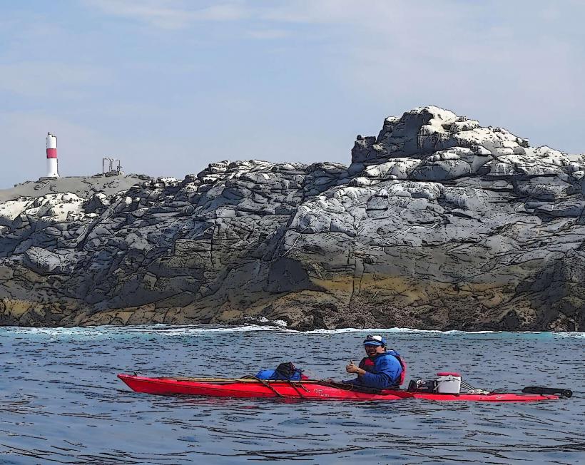
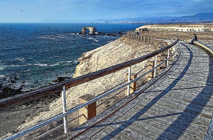
The park's landscape is characterized by arid, rocky terrain with sparse vegetation, primarily cacti and drought-resistant shrubs. Coastal cliffs drop sharply to the sea. The ocean water is typically a deep blue, with rocky outcrops and small islands visible offshore. The dominant geological material is volcanic rock and sedimentary formations.
Location & Access Logistics
The park is located approximately 30 kilometers north of the city of Chañaral. Access is via Route 1 (Ruta B-1). The main entrance is marked and accessible by private vehicle. Parking is available at designated areas near the park entrance and at the visitor center. Public transport options to Chañaral are available from Antofagasta, from where local taxis or pre-arranged transport can be used to reach the park entrance. There are no direct bus routes to the park itself.
Historical & Ecological Origin
The park was established to protect the unique desert-coastal ecosystem and its biodiversity. Ecologically, it represents a transition zone between the hyperarid Atacama Desert and the Humboldt Current marine ecosystem. The geological formations are primarily volcanic in origin, with evidence of ancient lava flows and erosion over millennia.
Key Highlights & Activities
Hiking is permitted on designated trails, including the trail to the summit of Pan de Azúcar hill for panoramic views. Boat tours are available from the nearby fishing cove to observe marine life, including Humboldt penguins and sea lions. Photography of the desert landscape and coastal scenery is a primary activity. Fishing is restricted to specific zones and requires permits.
Infrastructure & Amenities
A visitor center is located near the park entrance, offering information and basic facilities. Restrooms are available at the visitor center and at key points within the park. Shade is limited, primarily found near the visitor center and in some sheltered coastal areas. Cell phone signal (4G/5G) is unreliable within most of the park, with intermittent service near the entrance and visitor center. Food vendors are not present within the park; visitors should bring their own supplies.
Best Time to Visit
The best time for visiting is during the Chilean winter (May to September) when temperatures are milder and there is a higher chance of fog (camanchaca) which can enhance the visual landscape. Mid-morning (9:00 AM - 11:00 AM) and late afternoon (3:00 PM - 5:00 PM) offer the most favorable lighting conditions for photography due to lower sun angles. High tide is not a critical factor for access or activities within the park.
Facts & Legends
The park is named after a distinctive rock formation resembling a sugarloaf. Local folklore speaks of ancient indigenous peoples who used the area for spiritual ceremonies, leaving behind petroglyphs that are now protected within the park boundaries.
Nearby Landmarks
- Playa La Virgen (2.5km South)
- Caleta Pan de Azúcar (1.0km Southwest)
- Cerro Cachiyuyo (4.0km Northeast)
- Bahía La Herradura (3.5km South)