Information
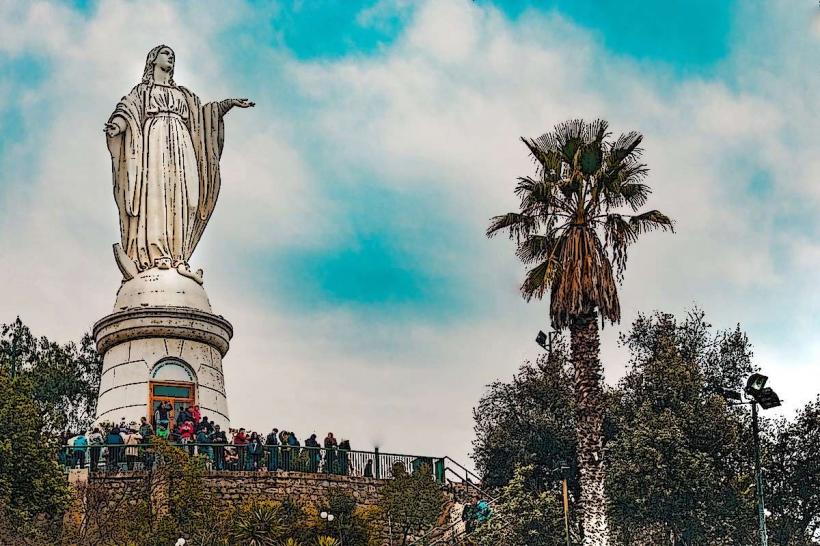
Landmark: Cerro Santa LucíaCity: Santiago
Country: Chile
Continent: South America
Cerro Santa Lucía, Santiago, Chile, South America
Cerro Santa Lucía is a hill located in the center of Santiago, Chile. It serves as a public park and a historical site within the urban landscape.
Visual Characteristics
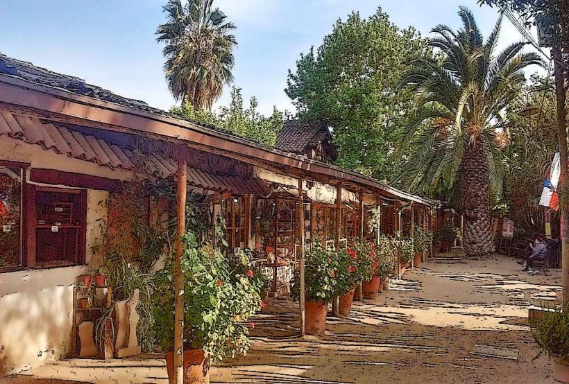
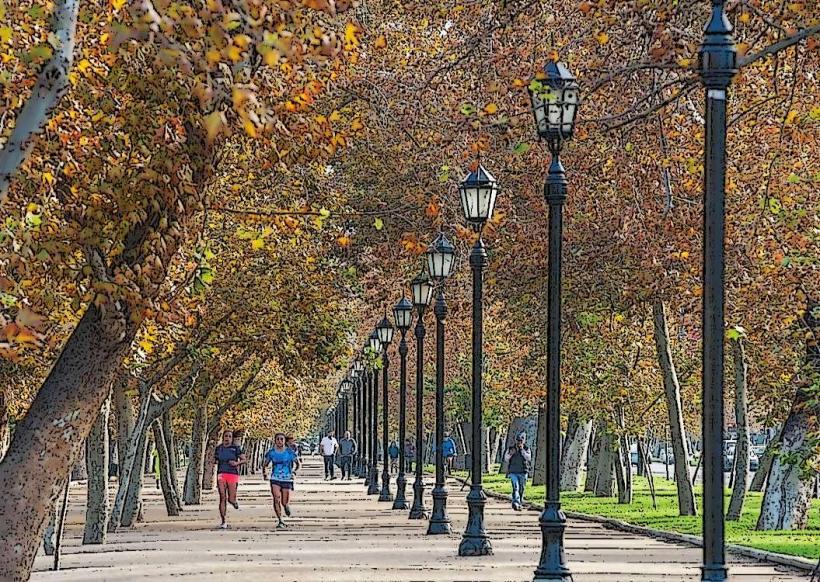
The hill is characterized by its terraced landscaping, stone staircases, and small plazas. Notable features include the Neptuno Fountain, the Mirador de Santa Lucía (a viewpoint), and the Castillo Hidalgo, a small castle-like structure. Vegetation consists of mature trees, shrubs, and flower beds. The stone used in construction is primarily granite and concrete.
Location & Access Logistics
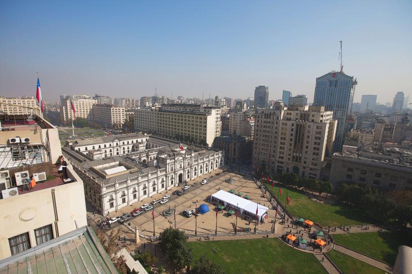
Cerro Santa Lucía is situated in the downtown area of Santiago, bordered by Avenida Libertador General Bernardo O'Higgins to the south, Santa Lucía Street to the west, Victoria Subercaseaux Street to the east, and Merced Street to the north. It is accessible via the Santa Lucía metro station (Line 1), located approximately 200 meters west of the main entrance. Parking is limited in the immediate vicinity; visitors are advised to use public transport or designated parking garages several blocks away. Several bus routes run along Avenida Libertador General Bernardo O'Higgins.
Historical & Ecological Origin
The hill was formed by volcanic activity millions of years ago. In the colonial era, it was known as Huelén. In the late 19th century, under the direction of Mayor Benjamín Vicuña Mackenna, the hill was transformed into a public park, with construction and landscaping completed between 1872 and 1874. Its original purpose was to provide a recreational space for the city's inhabitants and to enhance its aesthetic appeal.
Key Highlights & Activities
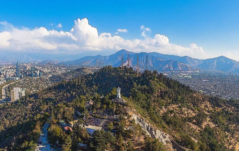
Visitors can ascend the hill via multiple staircases and ramps. Activities include walking the paved paths, visiting the Mirador de Santa Lucía for panoramic city views, exploring the Castillo Hidalgo (often used for events), and observing the various fountains and sculptures. Photography is a common activity due to the architectural and natural elements.
Infrastructure & Amenities
Restrooms are available at various points within the park. Shaded areas are provided by mature trees and some covered structures. Cell phone signal (4G/5G) is generally good throughout the park. Food vendors are not typically located within the park itself, but numerous cafes and restaurants are situated on the surrounding streets.
Best Time to Visit
The best time of day for photography is late afternoon, approximately 1-2 hours before sunset, for favorable lighting conditions on the city and park features. The best months for visiting are generally from September to April, when the weather is mild and dry. No specific tide requirements apply.
Facts & Legends
A notable historical oddity is that the hill was once a site for public executions during the colonial period. A "secret" tip for visitors is to seek out the small, less-trafficked paths on the eastern side of the hill for quieter exploration and different perspectives of the city.
Nearby Landmarks
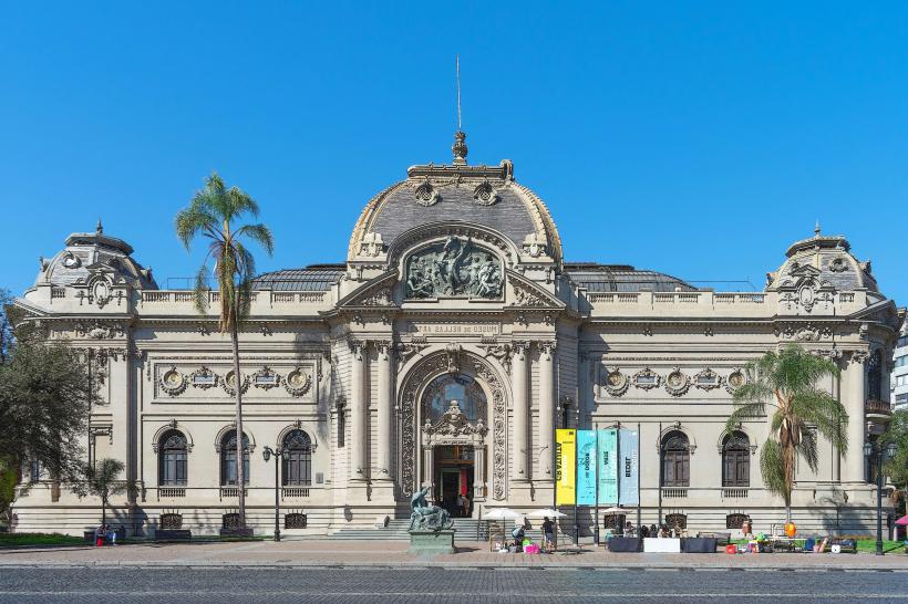
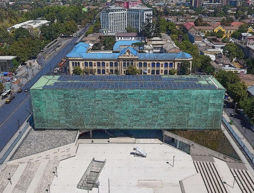
- Museo Chileno de Arte Precolombino (0.8km Southwest)
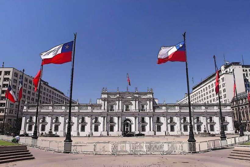
- Palacio de La Moneda (1.2km West)
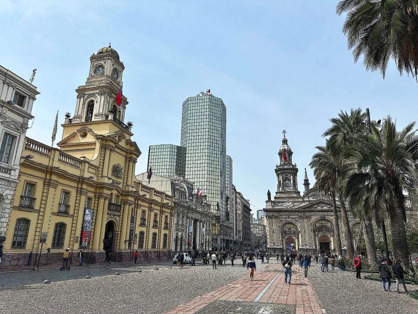
- Plaza de Armas (1.0km Northwest)
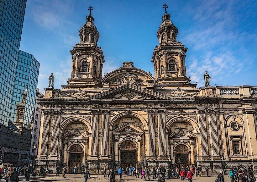
- Catedral Metropolitana de Santiago (1.1km Northwest)
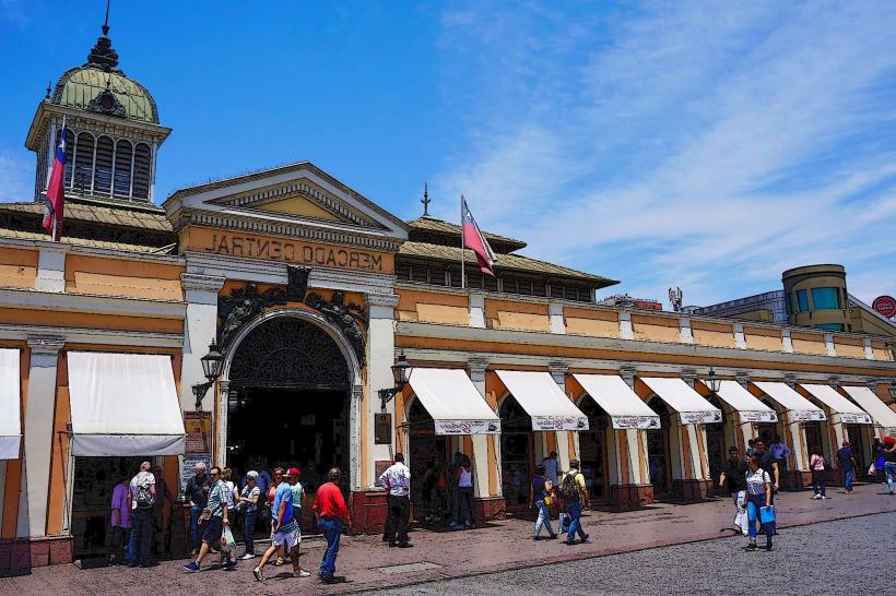
- Mercado Central (1.5km North)