Information
Landmark: Parque ForestalCity: Santiago
Country: Chile
Continent: South America
Parque Forestal, Santiago, Chile, South America
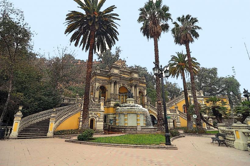
Parque Forestal is a linear urban park situated along the Mapocho River in Santiago, Chile.
It extends for approximately 2.7 kilometers through the central districts of Santiago.
Visual Characteristics
The park features a central promenade lined with mature trees, primarily eucalyptus and pine species. Paved pathways, approximately 3 meters wide, run parallel to the river. Sculptural elements and fountains are distributed throughout the park. The Mapocho River forms the northern boundary, with its water color varying based on sediment load, typically appearing brown or grey. The southern edge is defined by the urban fabric of the city.
Location & Access Logistics
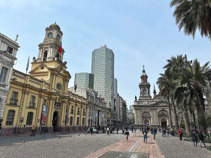
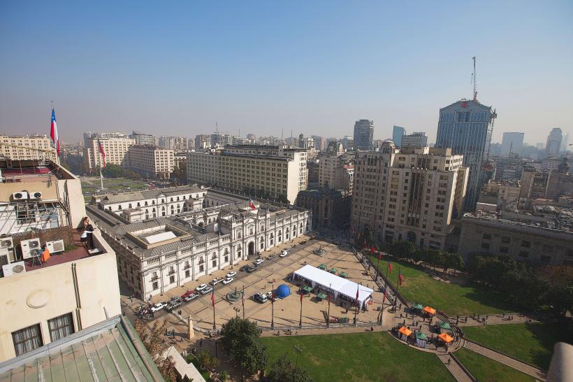
Parque Forestal is located east of Santiago's central business district. Access is available from multiple points along Merced Street and Cardenal José María Caro Avenue. The park is approximately 1.5 kilometers east of Plaza de Armas. Several public parking garages are located within a 500-meter radius, including the Parking Merced and Parking Forestal. Metro stations Baquedano (Lines 1 and 5) and Bellas Artes (Line 5) provide direct public transport access, both within 500 meters of the park's western and central sections respectively. Bus routes 214, 307, and C05 stop along Cardenal José María Caro Avenue.
Historical & Ecological Origin
The park's development began in the late 19th century, with significant expansion and landscaping occurring in the early 20th century. Its original purpose was to provide a green recreational space for the growing city and to manage the flow of the Mapocho River. The park is situated on alluvial plains formed by the Mapocho River, with vegetation adapted to the Mediterranean climate of central Chile.
Key Highlights & Activities
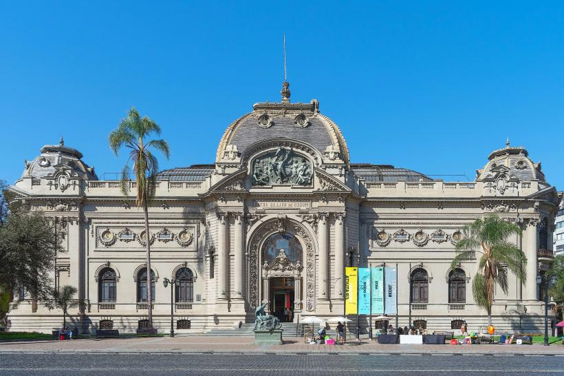
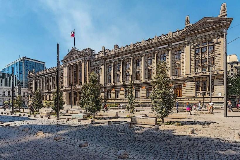
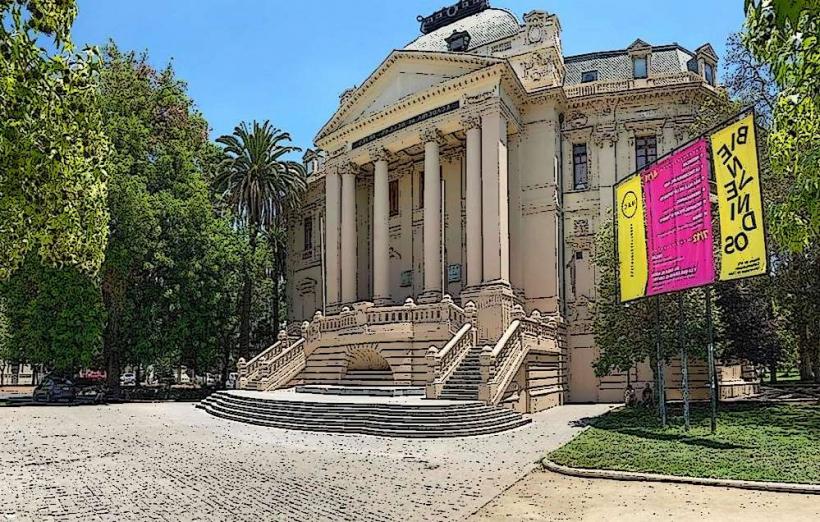
Walking and cycling are primary activities on the paved pathways. Visitors can observe various sculptures, including the Monument to the Spanish Volunteers and the Monument to the Chilean Navy. The park is a common location for public gatherings and informal sports. The Museo Nacional de Bellas Artes is situated within the park's western section, offering art exhibitions.
Infrastructure & Amenities
Restrooms are available at designated points, particularly near the Museo Nacional de Bellas Artes and the eastern end of the park. Shaded areas are provided by mature tree canopies. Cell phone signal (4G/5G) is generally consistent throughout the park. Food vendors and small cafes are located along the adjacent streets, with limited options directly within the park boundaries.
Best Time to Visit
For photography, early morning (7:00 AM - 9:00 AM) and late afternoon (4:00 PM - 6:00 PM) offer optimal lighting conditions. The best months for visiting are from September to April, coinciding with drier weather. High tide is not a relevant factor for this urban park.
Facts & Legends
A notable historical oddity is the park's role in urban planning, serving as a buffer zone and aesthetic enhancement for the city. During periods of heavy rainfall, sections of the park near the river can experience minor flooding, a reminder of its original function in managing the Mapocho River.
Nearby Landmarks
- Museo Nacional de Bellas Artes (0.1km West)
- Palacio de Bellas Artes (0.1km West)
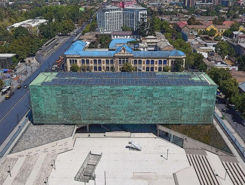
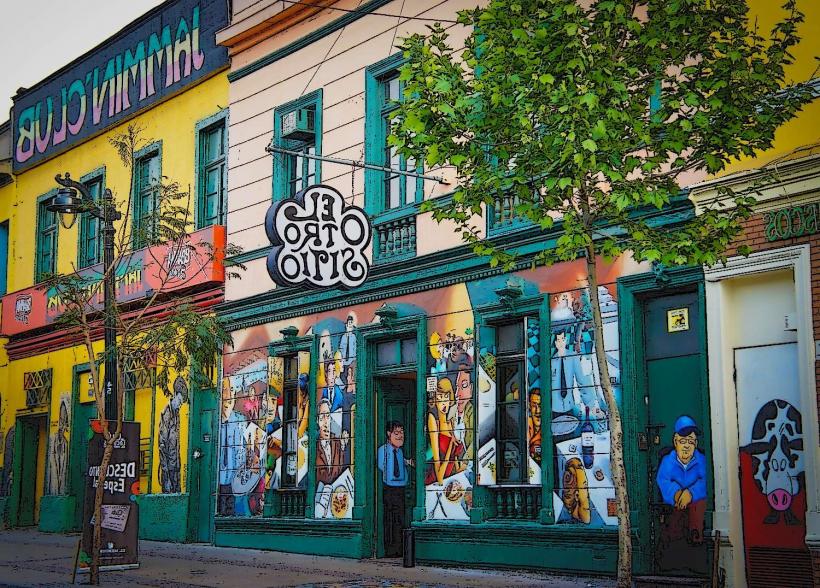
- Centro Cultural Gabriela Mistral (GAM) (1.2km Southwest)
- Cerro Santa Lucía (1.8km Southwest)
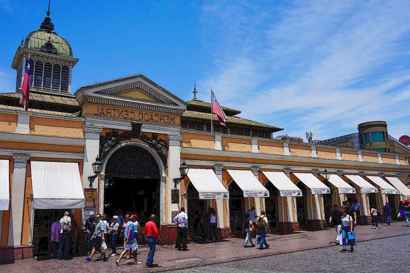
- Mercado Central de Santiago (2.0km Northwest)