Information
Landmark: Columbia River Gorge Scenic AreaCity: Hood River
Country: USA Oregon
Continent: North America
Columbia River Gorge Scenic Area, Hood River, USA Oregon, North America
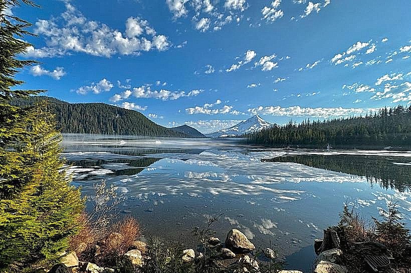
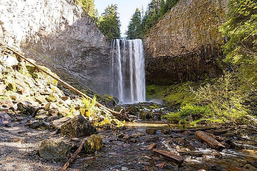
The Columbia River Gorge Scenic Area is a protected region along the Columbia River in Oregon, USA. It is characterized by its significant geological features and diverse ecosystems.
Visual Characteristics
The Gorge features steep basalt cliffs, some reaching over 4,000 feet in elevation. Waterfalls are a prominent visual element, with over 90 identified within the scenic area. The Columbia River itself is approximately 1.2 miles wide at its widest point within the Gorge. Vegetation ranges from dense coniferous forests on the western, wetter sides to drier shrublands on the eastern, rain-shadowed areas.
Location & Access Logistics
The Columbia River Gorge Scenic Area extends approximately 80 miles east from the Portland metropolitan area. Access is primarily via Interstate 84 (I-84) on the Oregon side and State Route 14 on the Washington side. The Historic Columbia River Highway (US 30) offers a parallel route with access to many viewpoints and trailheads. From Hood River, Oregon, the Gorge is directly accessible via I-84 East. Parking is available at designated viewpoints and trailheads; capacity varies and can be limited during peak seasons. Public transport options are limited within the Gorge itself, with seasonal shuttle services sometimes operating to popular trailheads.
Historical & Ecological Origin
The Gorge was carved by the Columbia River over millions of years, with significant shaping by the Missoula Floods approximately 15,000 years ago. The basalt formations are remnants of ancient volcanic activity. The area is ecologically diverse due to a significant rain shadow effect, creating distinct wet and dry zones. The Historic Columbia River Highway was constructed between 1913 and 1922, serving as one of the first major scenic highways in the United States.
Key Highlights & Activities
Hiking is a primary activity, with trails ranging from short paved paths to multi-day treks. Specific trails include the Multnomah Falls Trail, the Latourell Falls Loop, and the Angel's Rest Trail. Waterfall viewing is a major draw, with accessible viewpoints for Horsetail Falls, Bridal Veil Falls, and Wahkeena Falls. Windsurfing and kiteboarding are popular on the Columbia River, particularly near Hood River. Scenic driving along I-84 and the Historic Columbia River Highway is also a key activity.
Infrastructure & Amenities
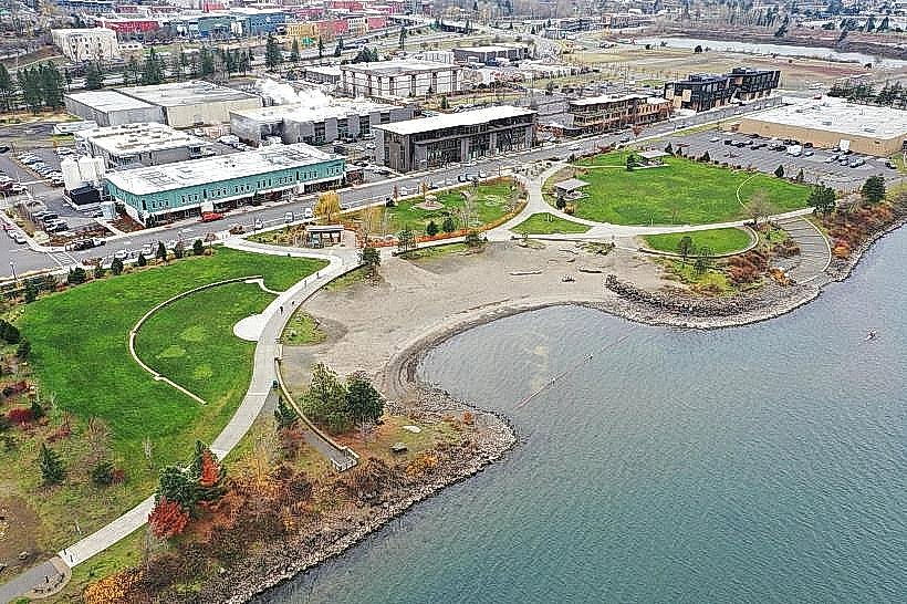
Restrooms are available at major viewpoints and trailheads, such as Multnomah Falls and the Vista House at Crown Point. Shade is abundant in forested areas. Cell phone signal (4G/5G) is generally available in populated areas and along major roadways but can be intermittent in more remote sections and canyons. Food vendors and restaurants are located in towns bordering the Gorge, such as Hood River and Cascade Locks, and at some major viewpoints.
Best Time to Visit
The best time for hiking and waterfall viewing is generally from spring through fall (April to October). Spring (April-May) offers peak waterfall flow. Summer (June-August) provides the warmest weather but can be crowded. Fall (September-October) offers cooler temperatures and autumn foliage. For windsurfing and kiteboarding, the prime season is typically July through September due to consistent winds. Photography is best in the morning or late afternoon for optimal lighting on the cliffs and waterfalls.
Facts & Legends
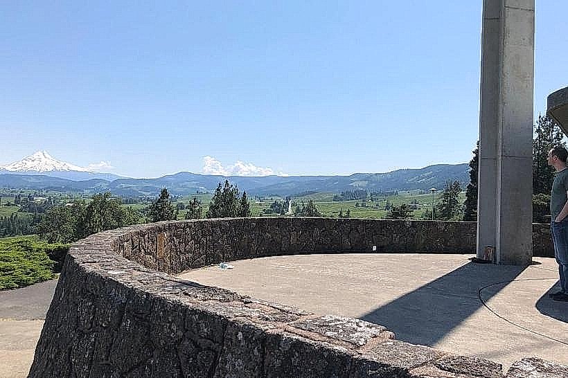
The Vista House at Crown Point, completed in 1918, was built as a memorial to the pioneers of Oregon and offers panoramic views. A local legend speaks of the Bridge of the Gods, a natural land bridge that once spanned the Columbia River, which was destroyed by an earthquake, creating the Gorge as it is known today.
Nearby Landmarks
- Vista House at Crown Point (0.5km West)
- Multnomah Falls (10km West)
- Bonneville Dam (25km West)
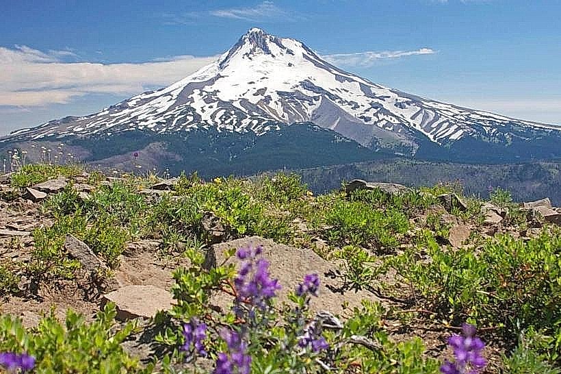
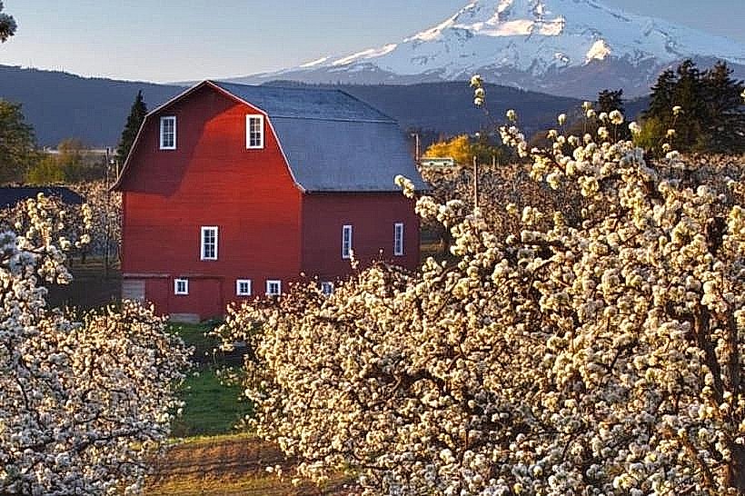
- Mount Hood (40km South)
- The Dalles Lock and Dam (35km East)