Information
Landmark: Tamanawas FallsCity: Hood River
Country: USA Oregon
Continent: North America
Tamanawas Falls, Hood River, USA Oregon, North America
Tamanawas Falls is a waterfall located in the Mount Hood National Forest, near Hood River, Oregon. It is a significant natural feature within the Columbia River Gorge region.
Visual Characteristics
The waterfall drops approximately 150 feet over a basalt cliff face. The water flow varies seasonally, with a wider cascade during spring snowmelt and a more concentrated stream in drier months. The surrounding area is characterized by dense coniferous forest, primarily Douglas fir and Western hemlock. The rock formations at the base of the falls are composed of dark volcanic basalt.
Location & Access Logistics
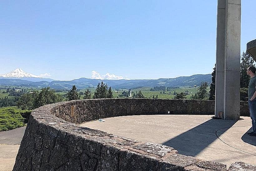
Tamanawas Falls is accessed via the Tamanawas Falls Trailhead, located off Forest Road 777 (also known as Badger Creek Road). The trailhead is approximately 15 miles south of Hood River. From Hood River, take Oregon Route 35 South for approximately 10 miles, then turn right onto FR 777. The trailhead parking area is located at the end of FR 777. Parking is available for approximately 20 vehicles. No public transport services reach the trailhead.
Historical & Ecological Origin
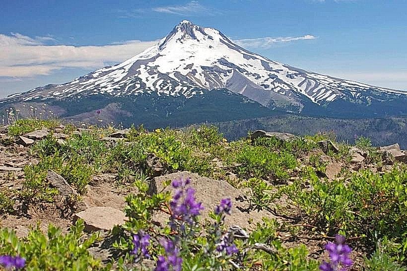
The waterfall is a result of erosion acting upon the volcanic rock of the Mount Hood region. The area is part of the Cascade Range, formed by volcanic activity. The forest surrounding the falls is a temperate rainforest ecosystem, supporting a diverse range of flora and fauna.
Key Highlights & Activities
Hiking the Tamanawas Falls Trail (Trail #777) is the primary activity. The trail is approximately 3.4 miles roundtrip and is considered moderate in difficulty. The trail leads directly to the base of the waterfall. Photography is a common activity, particularly during periods of high water flow.
Infrastructure & Amenities
The Tamanawas Falls Trailhead has a designated parking area. There are no restrooms or potable water sources at the trailhead or along the trail. Cell phone signal is unreliable within the forest. No food vendors are present at the trailhead or nearby.
Best Time to Visit
For optimal water flow and lush vegetation, the months of April through June are recommended. During this period, snowmelt contributes to a more substantial cascade. For clearer trail conditions and fewer crowds, late summer and early autumn (September-October) are suitable. The trail can be icy and hazardous in winter months.
Facts & Legends
Local indigenous legends speak of the falls as a place where spirits reside. A specific historical detail is that the trail was originally a logging road before being converted to a hiking path.
Nearby Landmarks
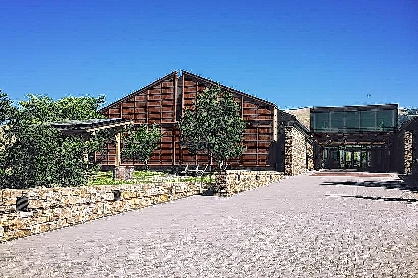
- Mount Hood National Forest Visitor Center (12km Northwest)
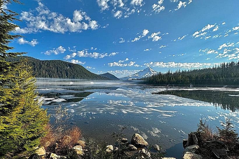
- Trillium Lake (18km Southwest)
- Timberline Lodge (25km Southwest)
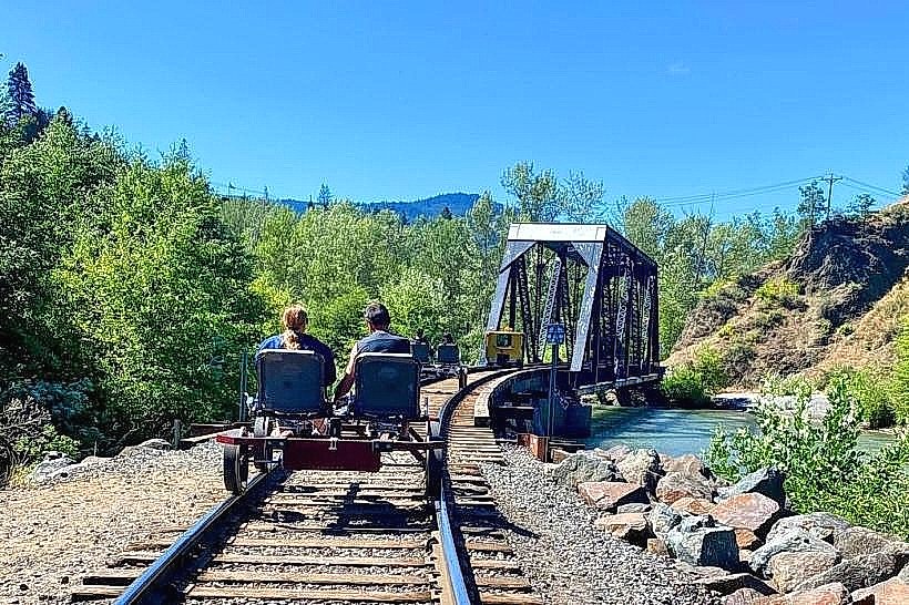
- Fruit Loop Scenic Drive (10km North)