Information
Landmark: Hood River County Fruit LoopCity: Hood River
Country: USA Oregon
Continent: North America
Hood River County Fruit Loop, Hood River, USA Oregon, North America
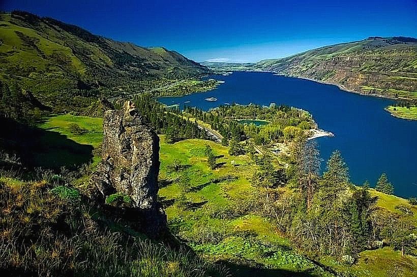
The Hood River County Fruit Loop is a 35-mile scenic driving route in Hood River, Oregon, showcasing agricultural operations and natural landscapes.
It connects various farms, orchards, and wineries along the Hood River Valley.
Visual Characteristics
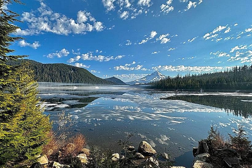
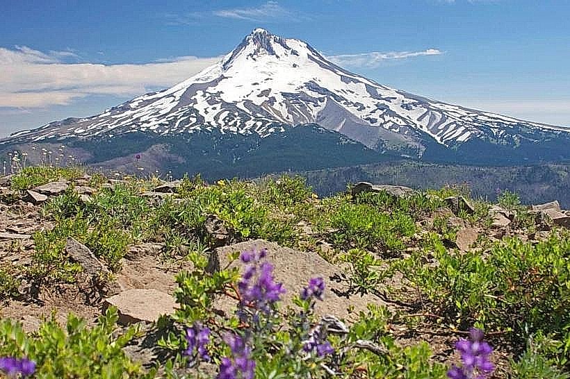
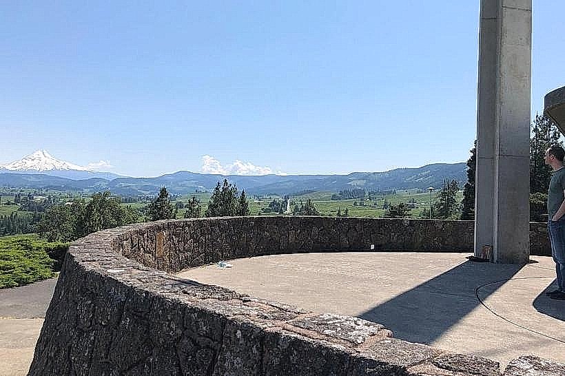
The route traverses rolling hills and valley floors. Vegetation includes orchards of apples, pears, cherries, and peaches, interspersed with vineyards and fields of lavender. Seasonal color changes are prominent, from spring blossoms to autumn fruit harvests. Views of Mount Hood are visible from various points along the loop.
Location & Access Logistics
The Fruit Loop begins approximately 2 miles south of downtown Hood River, Oregon. Access is via Interstate 84, taking Exit 62 for State Route 35 (Mount Hood Highway). The route follows State Route 35 south, then transitions to local roads such as Country Club Road, Olsen Road, and East Cascade Highway before returning to Hood River. Parking is available at individual farm stands and wineries; availability varies by location. Public transport is not directly available along the entire loop; private vehicle is the primary mode of access.
Historical & Ecological Origin
The Hood River Valley's agricultural history dates back to the late 19th century, with fruit cultivation becoming prominent in the early 20th century due to fertile volcanic soil and favorable climate. The area is part of the Columbia River Gorge National Scenic Area, characterized by a temperate climate with distinct wet and dry seasons, supporting a diverse range of crops.
Key Highlights & Activities
Sampling and purchasing fresh fruit directly from farms. Wine tasting at local wineries. Visiting U-pick orchards during harvest seasons. Exploring farm stands for baked goods, jams, and local crafts. Observing agricultural practices. Photography of agricultural landscapes and Mount Hood.
Infrastructure & Amenities
Restrooms are available at select larger farm stands and wineries. Shade is provided by trees at some locations. Cell phone signal (4G/5G) is generally available throughout the loop, though it may be intermittent in more remote sections. Food vendors are present at many farm stands, offering prepared foods and snacks. Some wineries have on-site cafes.
Best Time to Visit
For peak fruit availability and harvest activities, visit from June through October. Specific fruit seasons include cherries (June-July), peaches and berries (July-August), and apples and pears (August-October). For vineyard visits and wine tasting, April through November is suitable. Lighting for photography is optimal in the early morning and late afternoon, particularly when Mount Hood is visible.
Facts & Legends
The Hood River Valley is known as the "Pear Capital of the World," with Comice pears being a particularly famous export. A local legend speaks of a giant apple that once grew in the valley, so large it could feed a village for a week, though its exact location remains a mystery.
Nearby Landmarks
- Mount Hood National Forest (10km South)
- Columbia River Gorge National Scenic Area (5km North)
- Historic Columbia River Highway (6km North)
- Bonneville Dam (25km West)
- Multnomah Falls (30km West)