Information
Landmark: Cristobal CanyonCity: Barahona
Country: Dominican Republic
Continent: North America
Cristobal Canyon, Barahona, Dominican Republic, North America
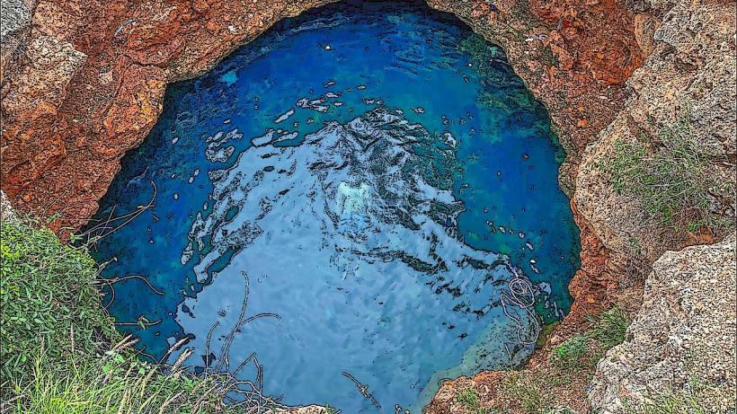
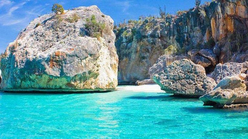
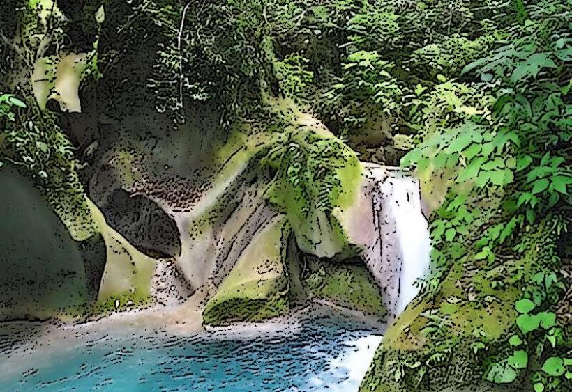
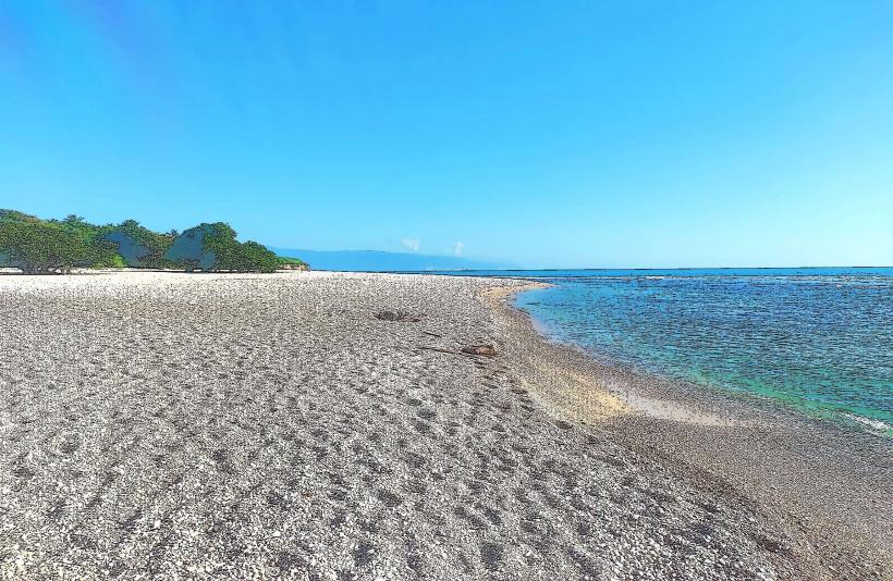
Cristobal Canyon is a significant geological formation characterized by a deep gorge and river system located approximately 15 kilometers northeast of Barahona, Dominican Republic.
Visual Characteristics
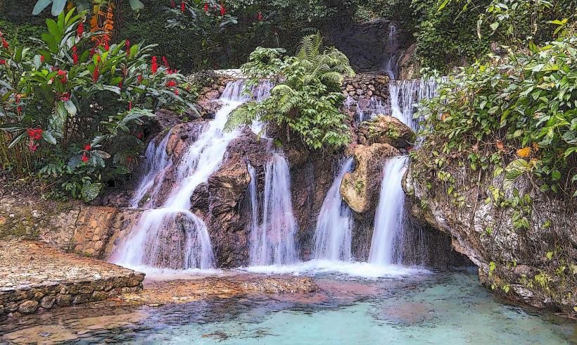
The canyon features prominent limestone rock formations, displaying a range of grey, beige, and reddish-brown hues. The river water is typically clear, often appearing turquoise in deeper pools and emerald green in shallower sections. Vegetation consists of dense tropical dry forest along the canyon walls and riverbanks, including various hardwoods, shrubs, and occasional cacti adapted to the arid microclimate.
Location & Access Logistics
Cristobal Canyon is situated approximately 15 kilometers northeast of Barahona city center. Access is primarily via an unpaved, often rugged, road that branches off Highway 44 (Carretera Barahona-Azua). Limited roadside parking is available near the main entry points to the canyon trails. Public transportation does not serve the canyon directly; visitors typically use private vehicles, rented 4x4s, or local taxis/motoconchos from Barahona.
Historical & Ecological Origin
The canyon's formation is primarily attributed to fluvial erosion over millions of years, as the Cristobal River carved its path through the region's limestone bedrock. It is classified as a river canyon within a tropical dry forest ecosystem, supporting a unique biodiversity adapted to its specific environmental conditions.
Key Highlights & Activities
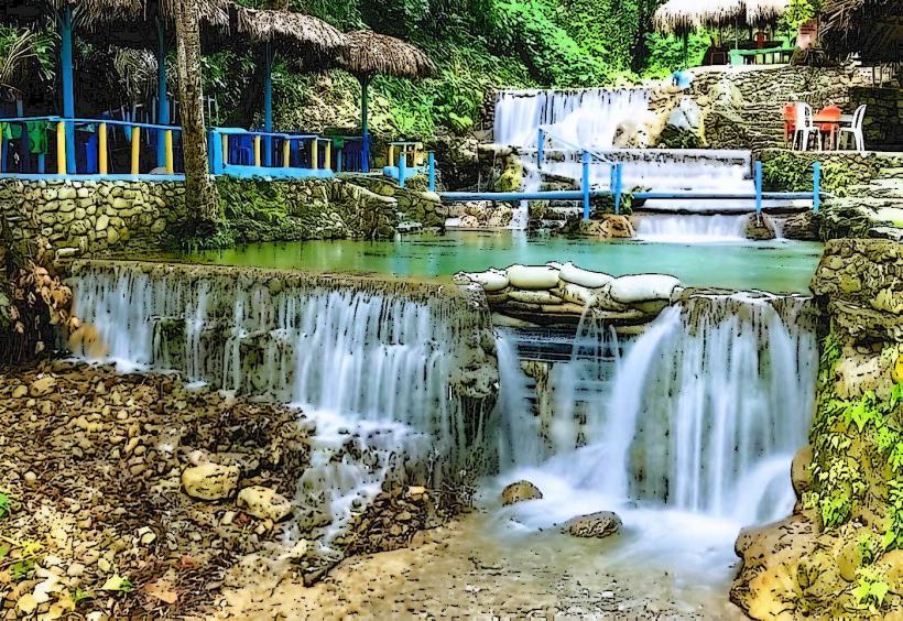
Key activities include hiking along the riverbed and designated trails, swimming in natural freshwater pools, and birdwatching for endemic species. Exploring the various rock formations and small caves is also possible. Guided tours are highly recommended due to the challenging terrain and potential for flash floods during heavy rains.
Infrastructure & Amenities
There is no formal infrastructure within Cristobal Canyon. Restrooms, designated shade structures, and food vendors are not available. Visitors should carry all necessary supplies. Cell phone signal (4G/5G) is intermittent and often unreliable, particularly within the deeper sections of the canyon.
Best Time to Visit
The dry season, typically from December to April, offers the most favorable conditions for visiting, with lower river levels and reduced risk of flash floods. Morning hours are ideal for hiking to avoid the peak midday heat and to capture optimal lighting for photography. Water levels are generally lower during this period, facilitating riverbed navigation.
Facts & Legends
Local lore suggests that Cristobal Canyon was historically used as a refuge by indigenous Taíno communities. A verified historical oddity is the discovery of ancient petroglyphs and pictographs in certain sheltered rock overhangs, indicating pre-Columbian human activity within the canyon.
Nearby Landmarks
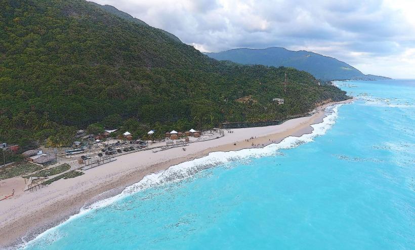
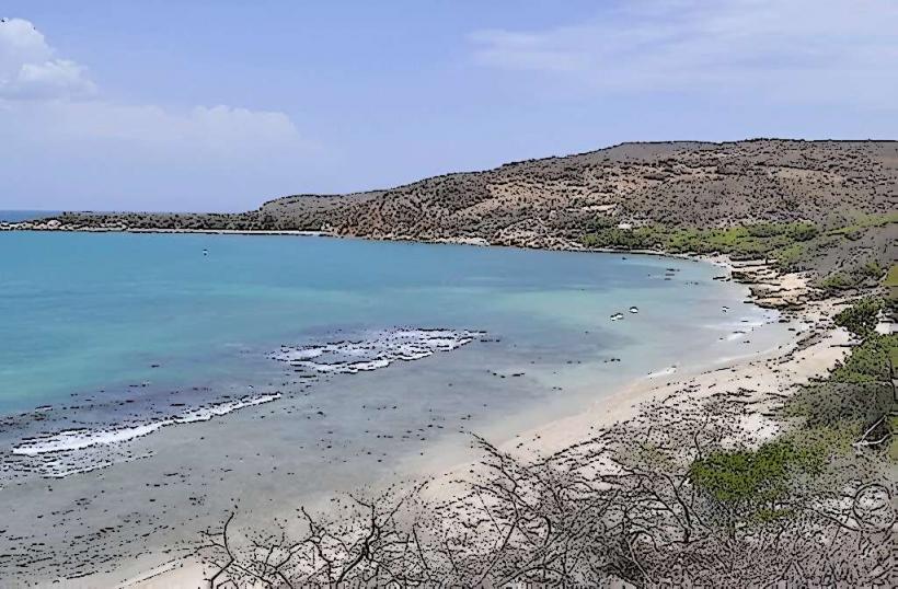
- Playa Saladillas: 5 km West
- Barahona City Center: 15 km South
- Río Nizao (lower reaches): 10 km West
- Playa La Cueva: 12 km South-Southwest