Information
Landmark: Los Patos BeachCity: Barahona
Country: Dominican Republic
Continent: North America
Los Patos Beach, Barahona, Dominican Republic, North America
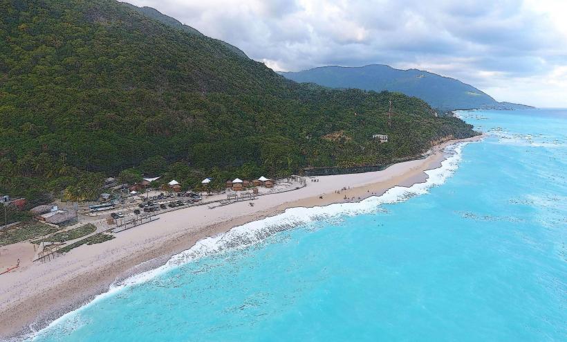
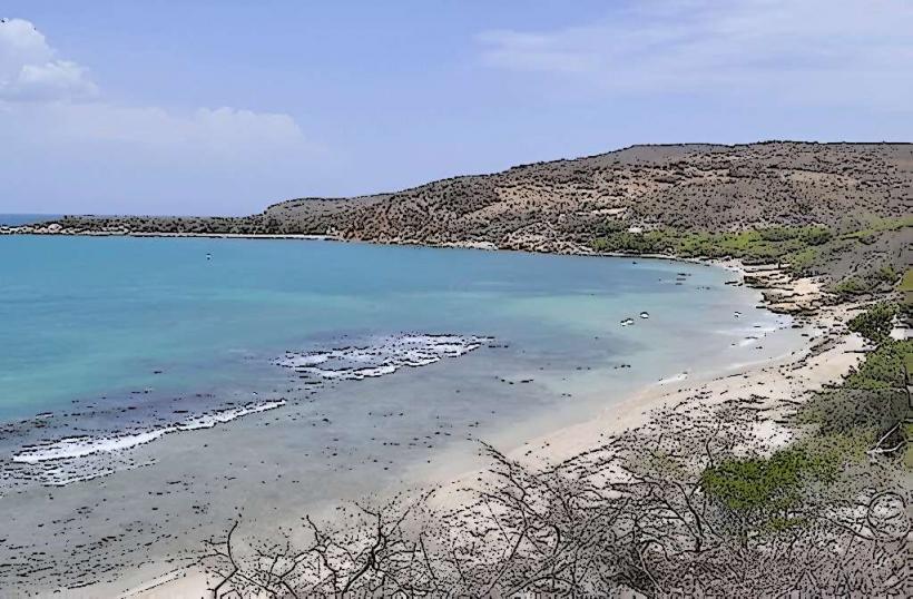
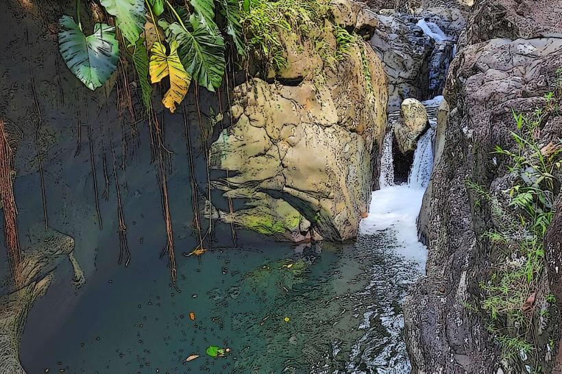
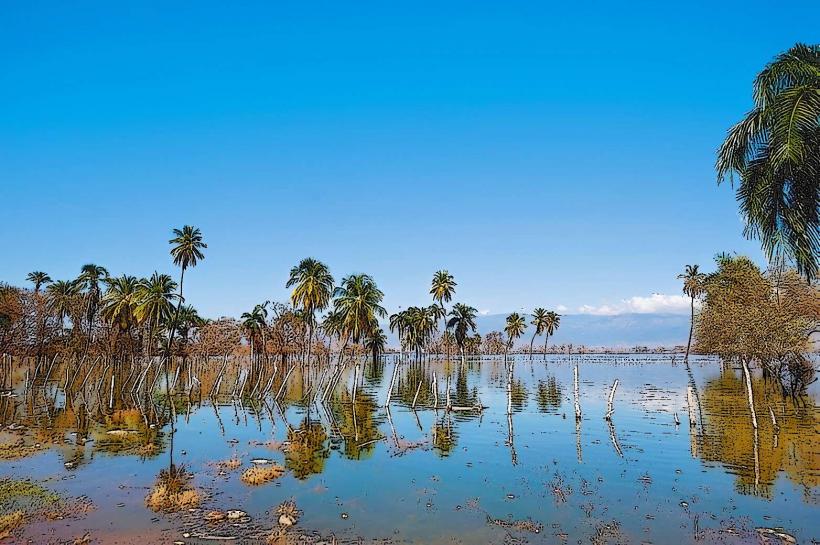
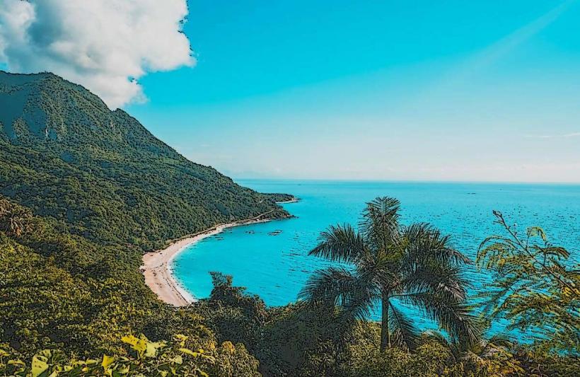
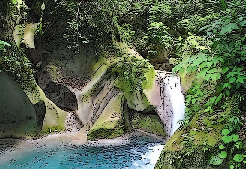
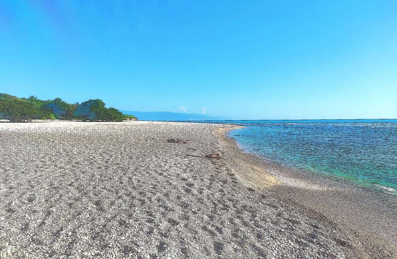
Los Patos Beach is a pebble beach in the southwestern Dominican Republic, notable for the Río Los Patos, one of the Caribbean's shortest rivers, flowing directly into the Caribbean Sea. It is situated in the municipality of Paraíso, within the Barahona province.
Visual Characteristics
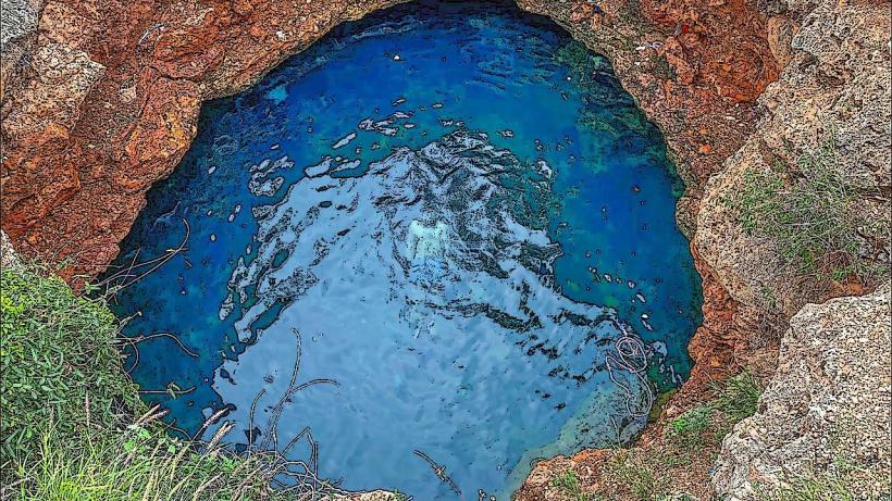
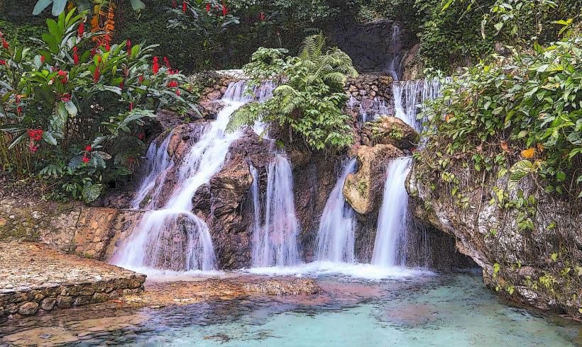
The beach consists primarily of smooth, grey pebbles rather than sand. The Caribbean Sea water is clear and typically turquoise. The Río Los Patos forms a distinct, cool freshwater pool at its mouth before merging with the sea, characterized by clear, flowing water. The immediate area is lined with tropical vegetation, including palm trees and various shrubs, providing a natural backdrop.
Location & Access Logistics
Los Patos Beach is located directly on the Carretera Barahona-Enriquillo (DR-44), approximately 60 kilometers south of Barahona city center. Access is straightforward via the main coastal highway. Informal parking is available along the roadside and in small designated areas near local eateries. Public transportation is available via "guaguas" (local minibuses) that travel along DR-44 between Barahona and Pedernales, with stops at Los Patos.
Historical & Ecological Origin
The beach's ecological origin is defined by the confluence of the Río Los Patos with the Caribbean Sea. The river, known for its exceptionally short course, emerges from an underground source and flows directly to the coast. The pebble composition of the beach is a result of coastal erosion and the deposition of riverine sediments from the mountainous terrain characteristic of the region.
Key Highlights & Activities
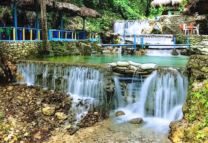
Visitors can swim in the cool, freshwater pool formed by the Río Los Patos at its mouth. Swimming in the Caribbean Sea is also possible, though currents can be strong at times. The beach is a known spot for experienced surfers when conditions are favorable. Local vendors offer fresh seafood and traditional Dominican cuisine.
Infrastructure & Amenities
Basic restroom facilities are typically available at the adjacent local restaurants and food stalls. Natural shade is provided by palm trees and other tropical foliage along the riverbank and beach perimeter. Cell phone signal (4G) is generally available in the area. Numerous small, local food vendors and "comedores" (eateries) are situated directly at the beach, offering prepared meals and beverages.
Best Time to Visit
The dry season, from December to April, offers the most consistent sunny weather for a visit. Weekdays are less crowded than weekends. Mornings provide softer light for photography and generally calmer conditions for swimming. The river's flow is consistent, but its volume can increase after heavy rainfall.
Facts & Legends
The Río Los Patos is widely recognized as the shortest river in the Dominican Republic, with a course of only a few hundred meters from its source to the sea. Its remarkably cold water, originating from underground springs, offers a distinct thermal contrast to the warm Caribbean Sea, creating a unique natural bathing experience.
Nearby Landmarks
- Paraíso (town center): 1 km North-West
- Playa Paraíso: 2 km North
- Mirador de Paraíso: Approximately 5 km North