Information
Landmark: Larimar MinesCity: Barahona
Country: Dominican Republic
Continent: North America
Larimar Mines, Barahona, Dominican Republic, North America
Visual Characteristics
The mines consist of a network of vertical shafts and horizontal tunnels carved into the volcanic rock of the Sierra de Bahoruco. The surrounding landscape is arid and mountainous, characterized by sparse vegetation and exposed rock formations. The Larimar stone itself displays a range of blue hues, from light sky blue to deep turquoise, often intermingled with white, grey, or reddish-brown patterns due to mineral inclusions.
Location & Access Logistics
The Larimar Mines are located approximately 10 kilometers southwest of Barahona city. Access is primarily via unpaved, rugged mountain roads that require a 4x4 vehicle. The journey from Barahona can take 45-60 minutes depending on road conditions. Informal parking is available near the mine entrances. Public transportation does not serve the mines directly; private taxis or organized tours from Barahona are the standard means of access.
Historical & Ecological Origin
Larimar is a rare blue variety of the mineral pectolite, formed through hydrothermal activity within Miocene-Pliocene volcanic rocks. The geological process involves the infilling of cavities and fractures in basaltic lavas. While locals had known of the blue stone for decades, it was officially identified and named Larimar in 1974 by Miguel Méndez, combining his daughter's name "Larissa" with "mar" (Spanish for sea).
Key Highlights & Activities
Visitors can observe active mining operations from designated safe viewpoints. Some guided tours offer the opportunity to descend into accessible mine shafts under strict supervision. Raw Larimar stones and finished jewelry are available for purchase directly from miners or local vendors at the site. Educational presentations on the stone's formation and extraction process are sometimes offered.
Infrastructure & Amenities
Infrastructure at the Larimar Mines is basic. Restroom facilities are rudimentary or non-existent. Shade is limited to specific areas near mine entrances or temporary shelters. Cell phone signal (4G) can be intermittent and unreliable due to the mountainous terrain. There are no formal food vendors; visitors should bring their own water and provisions.
Best Time to Visit
The dry season, typically from December to April, offers the most favorable weather conditions for accessing the unpaved mountain roads. Morning visits are recommended to avoid the peak midday heat and to observe the most active mining operations. Visibility for photography is generally good throughout the day, but morning light can enhance the landscape's features.
Facts & Legends
Larimar is sometimes referred to as the "Atlantis Stone," a name attributed to Edgar Cayce, who claimed a blue stone with healing properties would be found in the Caribbean, linking it to the lost continent of Atlantis. The stone is believed by some to possess calming and healing properties, particularly for communication and emotional balance.
Nearby Landmarks
- Barahona City Center: 10km Northeast
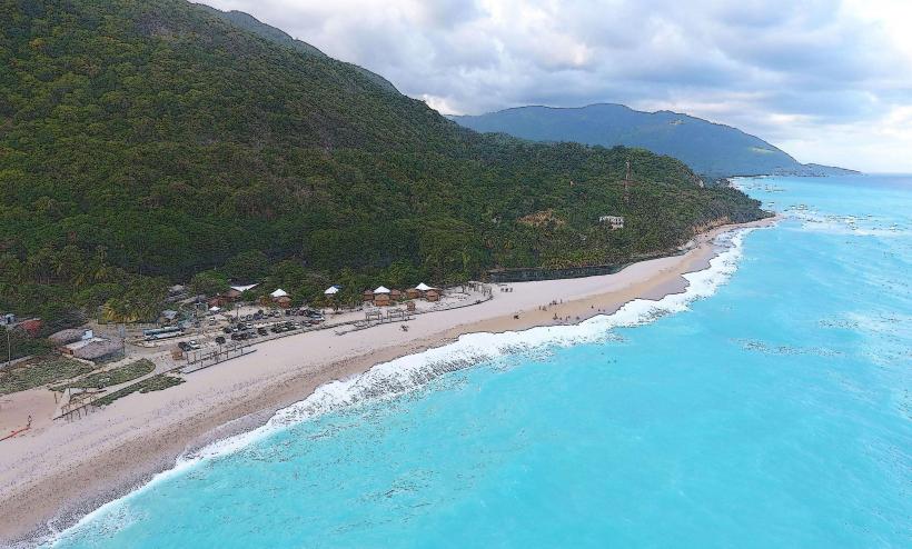
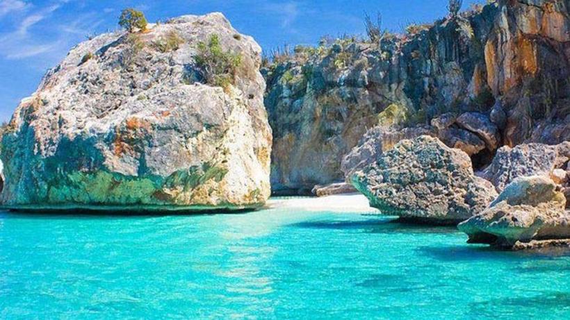
- Bahoruco Beach: 15km East
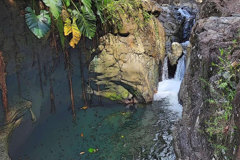
- Sierra de Bahoruco National Park: Adjacent, surrounding the mine area
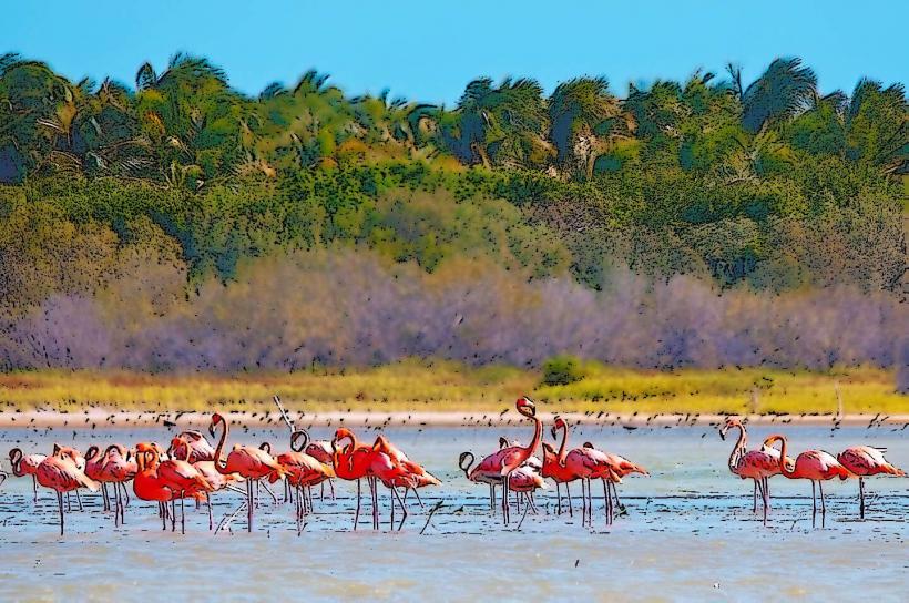
- Laguna de Oviedo: 40km South