Information
Landmark: Lake EnriquilloCity: Barahona
Country: Dominican Republic
Continent: North America
Lake Enriquillo, Barahona, Dominican Republic, North America
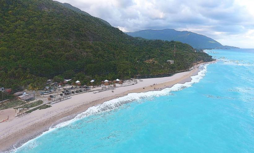
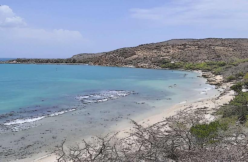
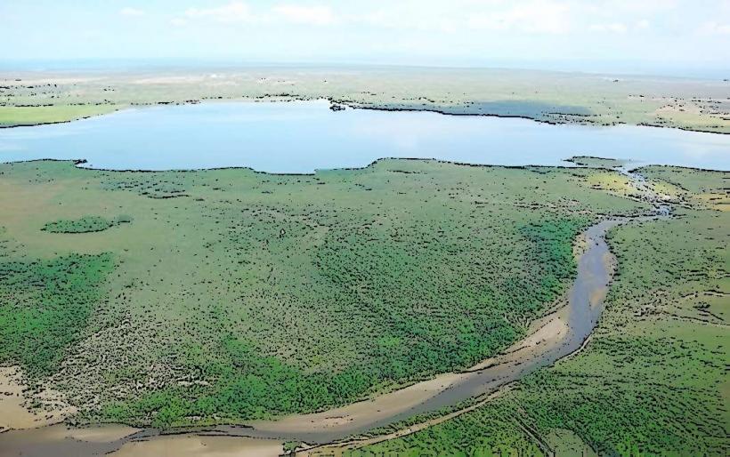
Lake Enriquillo is the largest lake in the Caribbean and the lowest point in the Antilles, located in the Enriquillo Valley of the Dominican Republic. It is a hypersaline rift lake situated approximately 20 kilometers northwest of the city of Barahona.
Visual Characteristics
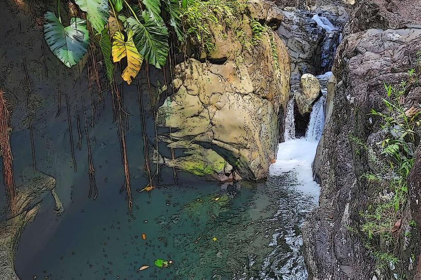
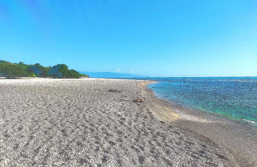
The lake's water exhibits a greenish-brown hue, varying with depth and sediment load. Its shores are characterized by arid, scrubland vegetation, primarily cacti and thorny bushes, due to the region's dry climate. The lake contains three islands: Cabritos Island, Barbarita, and Chiquita, with Cabritos being the largest and most prominent. The surrounding landscape features exposed salt flats and gypsum deposits, particularly visible during periods of lower water levels.
Location & Access Logistics
Lake Enriquillo is accessible via Route DR-44, which runs along its northern shore, connecting to the city of Neiba to the north and Duvergé to the east. From Barahona, the drive is approximately 45 minutes to an hour, heading northwest on DR-44. Parking is typically informal, available near visitor centers or designated boat launch points, such as those near La Descubierta or Boca de Cachón. Public transport options include "guaguas" (shared minibuses) that travel between Barahona and towns along the lake's perimeter, though direct access to specific points may require a private taxi or motoconcho.
Historical & Ecological Origin
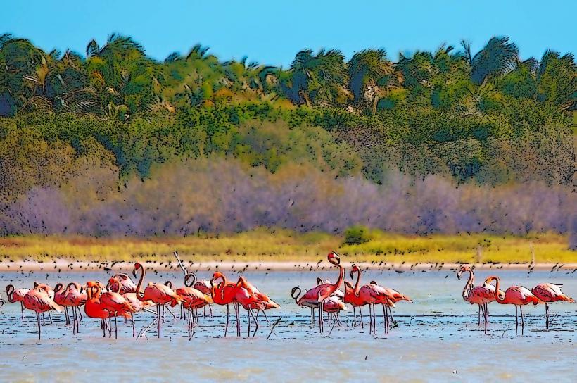
The lake formed within a geological depression known as the Enriquillo-Plantain Garden fault system, a pull-apart basin created by the interaction of the Caribbean and North American tectonic plates. It is a remnant of a marine channel that once connected the Caribbean Sea to the Atlantic Ocean. The lake is endorheic, meaning it has no outlet, leading to its hypersaline conditions. Its unique ecosystem supports a significant population of American crocodiles (Crocodylus acutus), rhinoceros iguanas (Cyclura cornuta), and various water birds, including flamingos.
Key Highlights & Activities
Boat tours to Cabritos Island are available, offering opportunities for wildlife observation, specifically American crocodiles and rhinoceros iguanas. The Lago Enriquillo National Park Visitor Center near La Descubierta provides information and guided tours. Birdwatching is a primary activity, with numerous species congregating along the shores and on the islands. Hiking trails are limited but exist around the visitor center areas.
Infrastructure & Amenities
Basic restrooms are available at the main visitor center near La Descubierta. Shade is minimal along the lake's perimeter, primarily found under sparse trees or at designated visitor facilities. Cell phone signal (4G/5G) is intermittent and unreliable in many areas surrounding the lake. Small, local food vendors offering snacks and drinks can be found in nearby towns like La Descubierta, Boca de Cachón, and Duvergé, but options are limited directly at the lake's edge.
Best Time to Visit
The dry season, from December to April, is the best time to visit for more comfortable temperatures and easier access, as heavy rains can affect road conditions. Early morning (7:00 AM - 10:00 AM) or late afternoon (3:00 PM - 6:00 PM) are optimal for wildlife viewing, particularly for crocodiles and iguanas, and for photography due to softer lighting. Water levels fluctuate significantly, impacting accessibility to certain areas or islands; local guidance should be sought.
Facts & Legends
Lake Enriquillo is approximately 40 meters below sea level, making it the lowest point in the entire Caribbean. Its water levels have fluctuated dramatically over the past century, with significant increases observed since 2000, submerging surrounding farmlands and roads. Local Taino legends speak of the lake being a sacred place, and the name "Enriquillo" honors a Taino cacique who led a rebellion against Spanish colonizers in the 16th century, using the lake's islands as a refuge.
Nearby Landmarks
- Sierra de Bahoruco National Park: 25km South
- Oviedo Lagoon: 60km Southeast
- Las Caritas de los Indios: 10km East
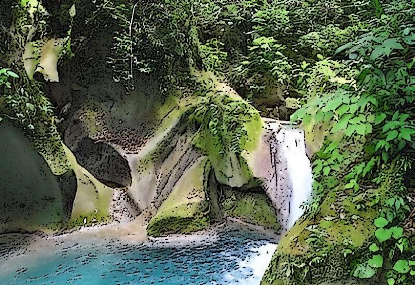
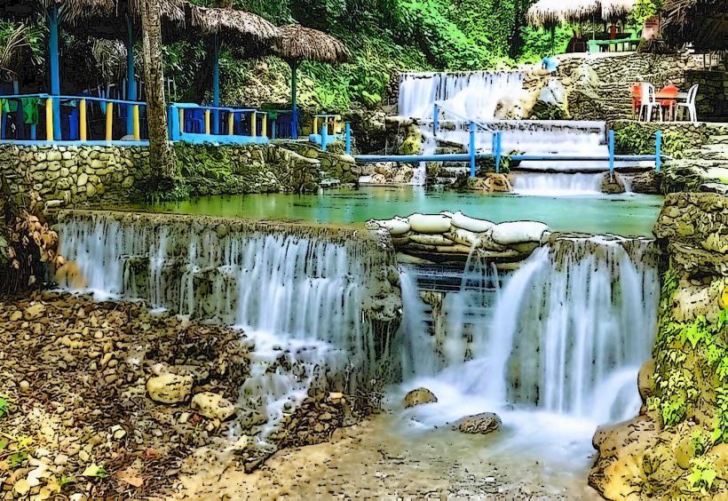
- Balneario La Zurza: 15km North