Information
Landmark: El Quemaito BeachCity: Barahona
Country: Dominican Republic
Continent: North America
El Quemaito Beach, Barahona, Dominican Republic, North America
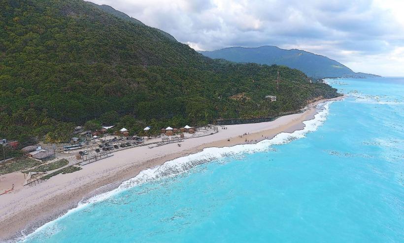
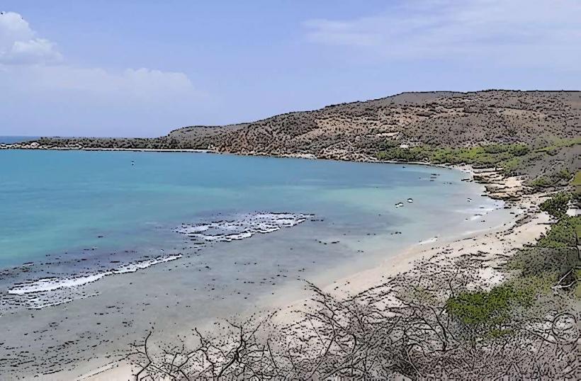
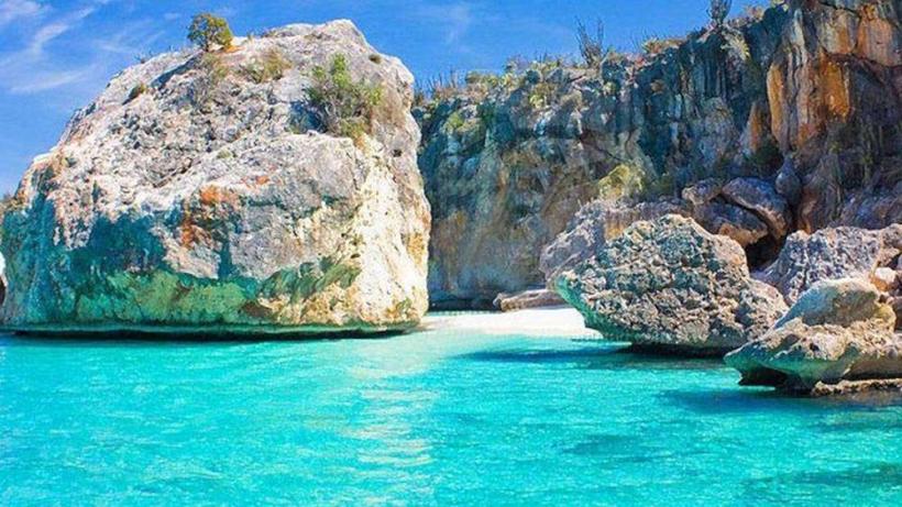
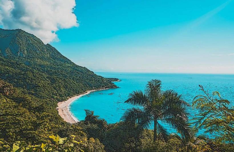
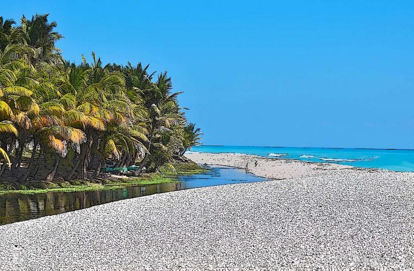
El Quemaito Beach is a coastal area situated on the Caribbean Sea, approximately 12 kilometers south of the city of Barahona in the Dominican Republic. It is known for its distinctive shoreline composed of smooth, rounded pebbles rather than sand, and its clear, calm waters.
Visual Characteristics
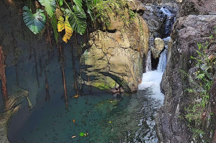
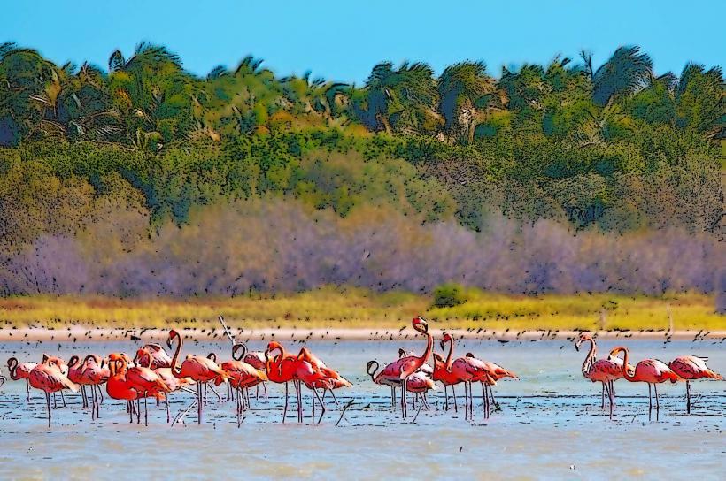
The beach features a shoreline primarily composed of small, polished grey and white pebbles, ranging from 1 to 5 centimeters in diameter, which extend into the water. The sea exhibits a gradient of turquoise to deep blue, maintaining high clarity. Surrounding the beach are low-lying hills covered with dry tropical vegetation, including cacti and scrub brush, providing a natural backdrop. The area is relatively open, with some scattered palm trees offering limited natural shade.
Location & Access Logistics
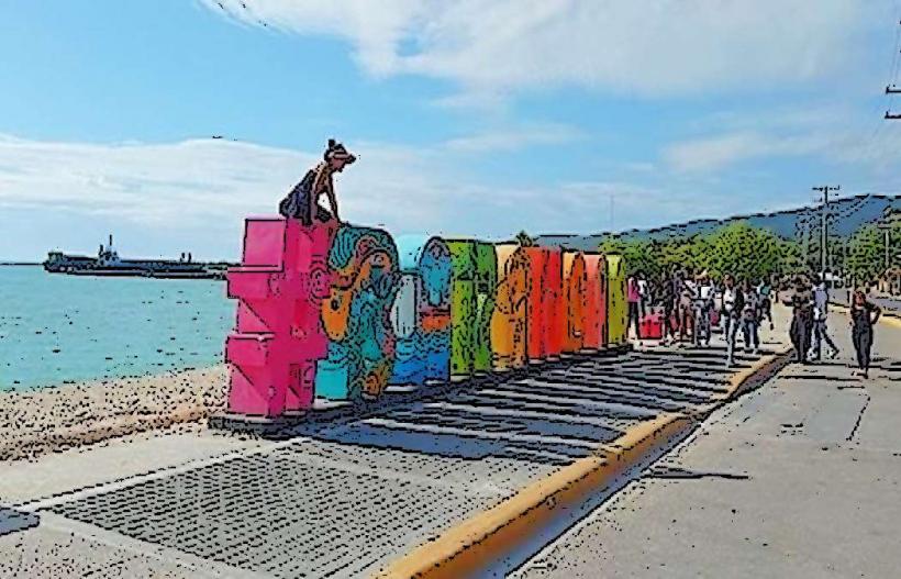
El Quemaito Beach is located directly off Carretera Barahona-Paraíso (Route 44), a coastal highway. It is approximately 12 kilometers south of Barahona city center. Access is direct from the highway, with a designated turn-off. Parking is available in informal roadside areas and designated small lots near local establishments. Public transport options include local "guaguas" (minibuses) or motoconchos (motorcycle taxis) traveling along Route 44 from Barahona, which can drop visitors directly at the beach entrance.
Historical & Ecological Origin
El Quemaito Beach is a natural geological formation. Its pebble composition is a result of fluvial and marine erosion processes, where river sediments, primarily from the nearby Bahoruco mountain range, are transported to the coast and then smoothed by wave action over extended periods. The name "Quemaito" is a local colloquialism, possibly referring to the sensation of the sun-heated pebbles or the intense sun exposure at the location.
Key Highlights & Activities
Swimming is a primary activity due to the calm, clear waters. The absence of sand prevents water turbidity. Snorkeling is possible near the rocky outcrops at the edges of the beach, where small fish species can be observed. The smooth pebbles are suitable for walking along the shoreline. Local vendors offer fresh seafood and drinks.
Infrastructure & Amenities
Basic restrooms are available at some of the small, informal restaurants and food stalls adjacent to the beach. Limited natural shade is provided by scattered trees, but visitors often bring their own umbrellas or seek shade under the small, open-air eateries. Cell phone signal (4G/5G) is generally reliable. Several small, local food vendors and restaurants operate directly at the beach, offering prepared meals, snacks, and beverages.
Best Time to Visit
The best time to visit El Quemaito Beach is during the dry season, from December to April, when rainfall is minimal and temperatures are consistently warm. For photography, late morning (9:00 AM - 11:00 AM) or late afternoon (3:00 PM - 5:00 PM) offers optimal lighting conditions, reducing harsh shadows and enhancing water clarity. The beach is accessible at all tides, as the pebble composition is not significantly affected by tidal changes.
Facts & Legends
A local tip for visitors is to wear water shoes or sturdy sandals, as the pebbles can be uncomfortable for bare feet, especially when heated by the sun. The beach is often frequented by local families, particularly on weekends, offering an authentic glimpse into Dominican beach culture.
Nearby Landmarks
- Barahona City Center: 12km North
- Playa San Rafael: 15km South
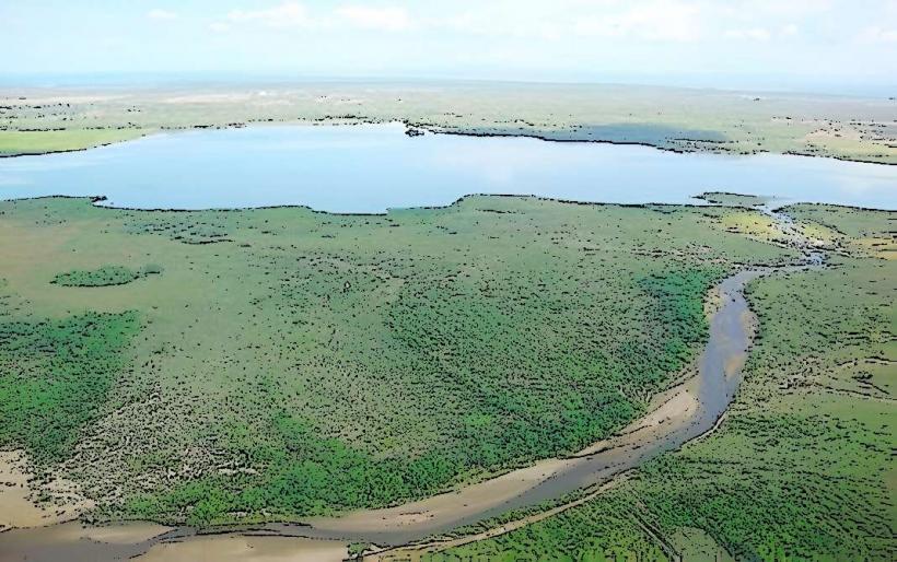
- Laguna de Oviedo: 50km South-East
- Parque Nacional Sierra de Bahoruco: 25km West