Information
Landmark: Devil’s KettleCity: Grand Marais
Country: USA Minnesota
Continent: North America
Devil’s Kettle, Grand Marais, USA Minnesota, North America
Devil’s Kettle – In Detail
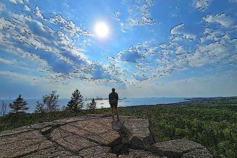
Devil’s Kettle is a remarkable and mysterious geological feature located within Judge C.R. Magney State Park on Minnesota’s North Shore, along the Brule River. It has fascinated scientists, hikers, and visitors for decades due to the unusual way the river splits and seemingly disappears.
Physical Description
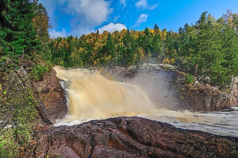
The Brule River approaches a rocky cliff where it divides into two distinct channels:
One channel forms a conventional 50-foot waterfall known as the Upper Falls, plunging visibly into the river below.
The other channel flows into a large, swirling pothole or hole in the rock face-the Devil’s Kettle-where the water disappears beneath the surface with no apparent exit.
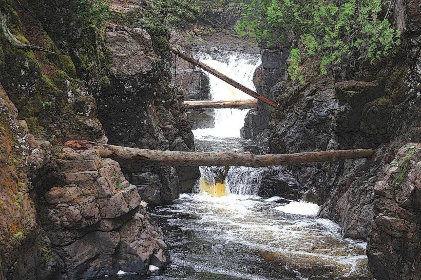
This hole is roughly 25 feet deep and surrounded by sheer basalt cliffs, creating a dramatic and somewhat eerie scene. The swirling, boiling water creates a powerful vortex that pulls water down into the depths, making it impossible for casual observation to track the flow.
The Mystery and Investigations
For many years, the fate of the water flowing into the Devil’s Kettle was a local and scientific enigma. Early speculation ranged from underground tunnels leading to hidden lakes, caves, or even the Lake Superior shoreline far away.
Researchers conducted several tests over the years:
Dye tests: Non-toxic dyes were poured into the hole, but the dye never surfaced elsewhere.
Drifting objects: Items like tennis balls or orange buoys thrown into the hole never reappeared downstream.
Hydrological studies: Flow measurements upstream and downstream suggested the water must rejoin the river.
In 2017, a scientific study by the Minnesota Department of Natural Resources (DNR) and researchers from the University of Minnesota resolved the mystery: the water exiting the Devil’s Kettle rejoins the Brule River very close downstream. The underground path is believed to be a complex system of cracks and fissures within the volcanic rock, too narrow and convoluted for objects or dye to pass through intact.
Geological Context
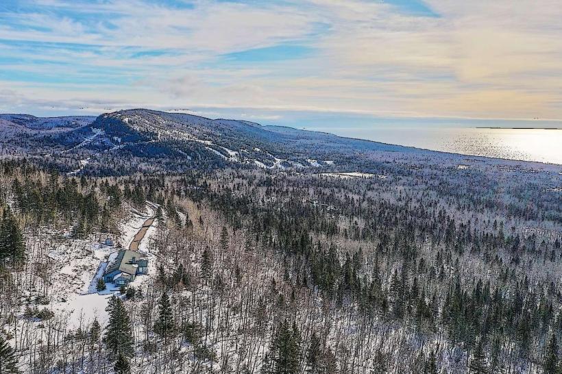
The Devil’s Kettle formed within basalt lava flows deposited during ancient volcanic activity about a billion years ago. Over time, glacial meltwaters and erosion carved the Brule River gorge, creating the unique pothole by exploiting fractures and weaknesses in the basalt.
The swirling, powerful flow into the pothole is maintained by:
The river’s volume and velocity.
The smooth, bowl-shaped shape of the pothole that creates a vortex.
The concealed underground channels that carry water away invisibly.
Visitor Experience
Viewpoint: A sturdy wooden platform and railings provide safe observation of the Devil’s Kettle. Visitors can see the river’s split, hear the roaring water, and watch the whirlpool action.
Trail access: The Devil’s Kettle is reached via a 2.25-mile round-trip trail starting at the Judge C.R. Magney State Park parking area. The trail includes stairs, footbridges, and scenic overlooks.
Photography: The striking contrast of calm river above and turbulent water plunging into the hole makes it a popular subject for photographers.
Safety: The swirling water and steep cliffs require visitors to stay behind barriers and supervise children closely.
Cultural Impact
Devil’s Kettle has become a symbol of the North Shore’s wild beauty and mystery. It appears frequently in regional tourism promotions and folklore, drawing thousands of curious visitors annually.
Its enduring mystery for many decades fostered a sense of wonder and respect for nature’s power and complexity. Now understood but still impressive, the Devil’s Kettle represents the fascinating interplay of geology and hydrology unique to this part of Minnesota.
Summary
The Devil’s Kettle is a captivating natural wonder where the Brule River splits, with half of its waters disappearing into a mysterious pothole. Although modern science has clarified that the water reemerges shortly downstream, the geological formation remains an impressive and unique site-a must-see destination for hikers and nature enthusiasts visiting the North Shore.