Information
Landmark: El GolfeteCity: Livingston
Country: Guatemala
Continent: North America
El Golfete, Livingston, Guatemala, North America
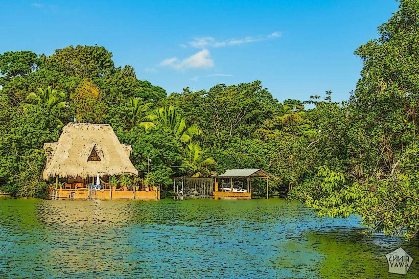
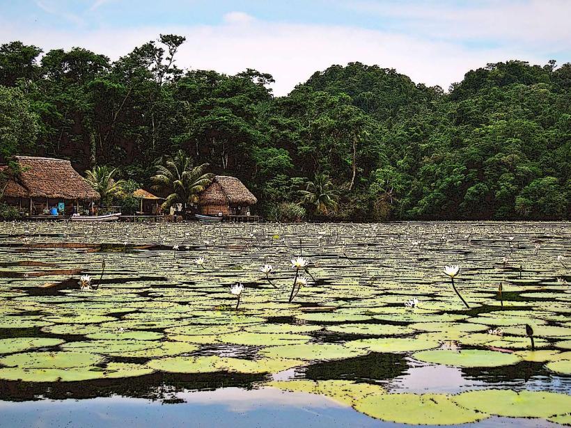
El Golfete is a wide section of the Río Dulce located in Izabal Department, Guatemala. It functions as a large freshwater lake where the river widens before continuing its course to the Caribbean Sea.
Visual Characteristics
El Golfete is characterized by its expansive, calm water surface, typically appearing brown or green depending on sediment load and light conditions. The shores are lined with dense tropical rainforest vegetation, primarily consisting of broadleaf trees and palms. The water depth varies, with shallower areas near the shore and deeper channels in the center.
Location & Access Logistics
El Golfete is situated approximately 15 kilometers west of Livingston. Access is primarily via boat from Livingston. Public boat services operate regularly along the Río Dulce. Private boat rentals are also available. Driving to El Golfete is not feasible due to the lack of direct road infrastructure; the river is the main thoroughfare.
Historical & Ecological Origin
El Golfete is a natural widening of the Río Dulce, a river system that has carved its path through the landscape over millennia. Ecologically, it is classified as a riverine lake or a large fluvial lagoon, forming a critical part of the Río Dulce ecosystem, which supports diverse aquatic and terrestrial life.
Key Highlights & Activities
Boat tours are the primary activity, allowing observation of the surrounding rainforest and riverine environment. Birdwatching is possible from boats. Kayaking and paddleboarding can be undertaken in calmer sections. Fishing is permitted in designated areas.
Infrastructure & Amenities
Limited infrastructure exists directly on El Golfete. Basic food and drink vendors may be present at docking points in Livingston. Cell phone signal is generally weak to non-existent on the water. Restrooms are typically available at the departure point in Livingston.
Best Time to Visit
The dry season, from November to April, offers more predictable weather with less rainfall. The best time of day for observing wildlife is typically early morning or late afternoon. Water levels are generally consistent year-round, though heavy rains can increase sediment.
Facts & Legends
Local lore suggests that El Golfete was a significant trading point for the indigenous Q'eqchi' Maya people, who used the river for transport and commerce long before European arrival. The area is known for its diverse bird population, including various species of kingfishers and herons.
Nearby Landmarks
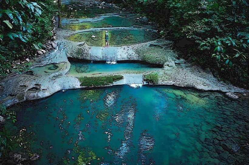
- Finca Paraiso (Hot Springs) - 3km Southwest
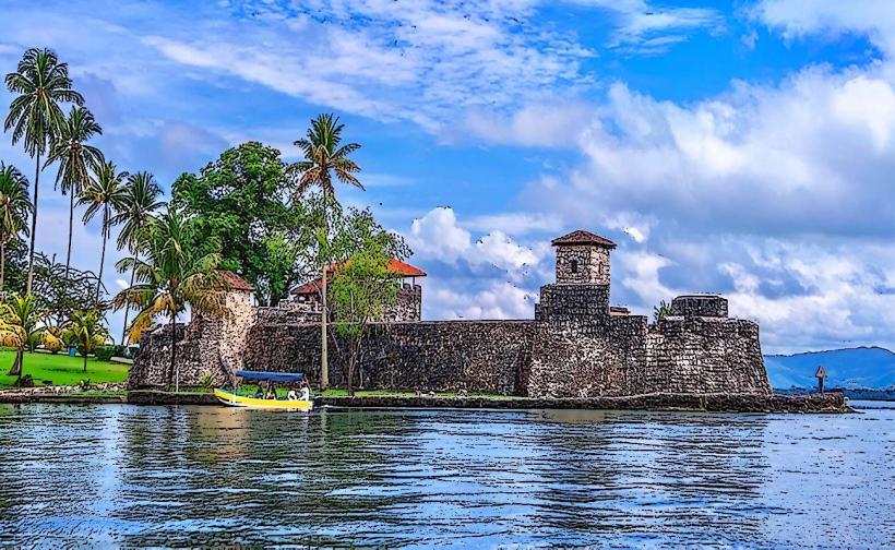
- Castillo de San Felipe - 8km West
- Río Dulce Canyon - 10km West
- Livingston Town - 15km East