Information
Landmark: Rio DulceCity: Livingston
Country: Guatemala
Continent: North America
Rio Dulce, Livingston, Guatemala, North America
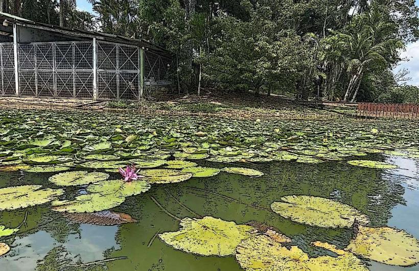
The Rio Dulce is a river system in eastern Guatemala, flowing from Lake Izabal to the Caribbean Sea near the town of Livingston.
Visual Characteristics
The river is approximately 40 meters wide at its narrowest point, with sheer limestone cliffs rising up to 100 meters on either side. The water color varies from deep green to brown depending on sediment load. Dense tropical rainforest vegetation covers the cliff faces, with a variety of tree species and epiphytes.
Location & Access Logistics
Access to the Rio Dulce is primarily via the town of Livingston. From Puerto Barrios, take a public lancha (boat) service to Livingston, a journey of approximately 45 minutes. Alternatively, one can drive to the town of Rio Dulce (also known as El Relleno) and hire a lancha for a downstream journey. Road access to Rio Dulce town is via CA-13 highway. Parking is available in Rio Dulce town, but limited in Livingston.
Historical & Ecological Origin
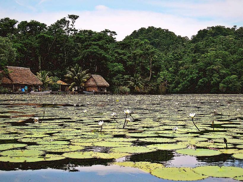
The Rio Dulce is a natural river system formed by the outflow of Lake Izabal, Guatemala's largest lake. The surrounding limestone cliffs are karst formations, shaped by erosion over millennia. The area is part of the Maya Biosphere Reserve, supporting a diverse ecosystem.
Key Highlights & Activities
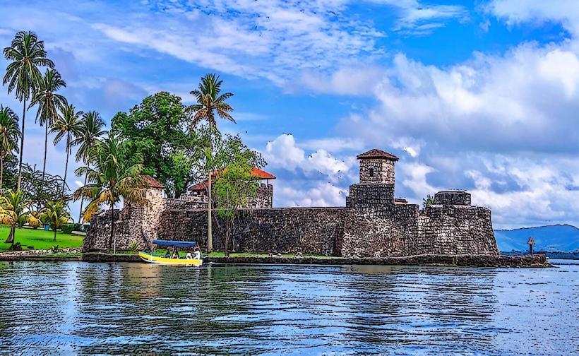
Boat tours along the river are the primary activity. Specific points of interest include the Castillo de San Felipe de Lara, a 17th-century Spanish fort. The "Canyon" section of the river offers views of the limestone cliffs. Hot springs are accessible from the river. Birdwatching is common.
Infrastructure & Amenities
Basic amenities are available in Livingston, including small hotels and restaurants. Boat services are frequent. Cell phone signal is intermittent along the river. Restrooms are available at the Castillo de San Felipe and in Livingston. Shade is provided by the dense tree canopy in certain sections of the river.
Best Time to Visit
The dry season, from November to April, offers clearer water and less rainfall. Mid-morning provides good lighting for photography of the canyon walls. High tide is not a significant factor for boat passage.
Facts & Legends
The Castillo de San Felipe de Lara was built to defend against pirate attacks. Local Q'eqchi' Maya folklore speaks of river spirits that inhabit the deeper parts of the Rio Dulce.
Nearby Landmarks
- Castillo de San Felipe de Lara (0.5km West)
- Lake Izabal (5km West)
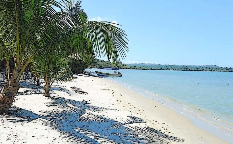
- Punta de Manabique (10km East)
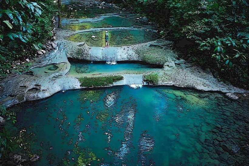
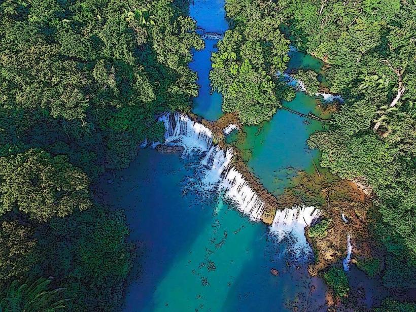
- Siete Altares Waterfalls (3km South)