Information
Landmark: Playa BlancaCity: Livingston
Country: Guatemala
Continent: North America
Playa Blanca, Livingston, Guatemala, North America
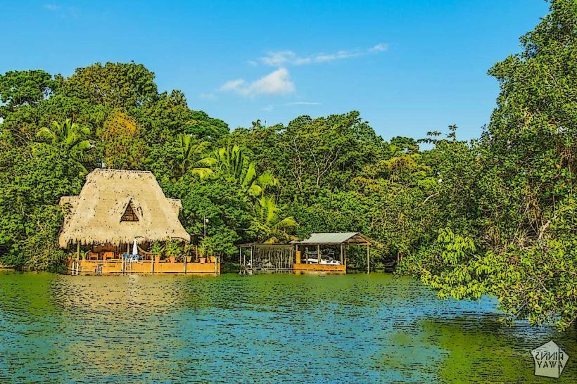
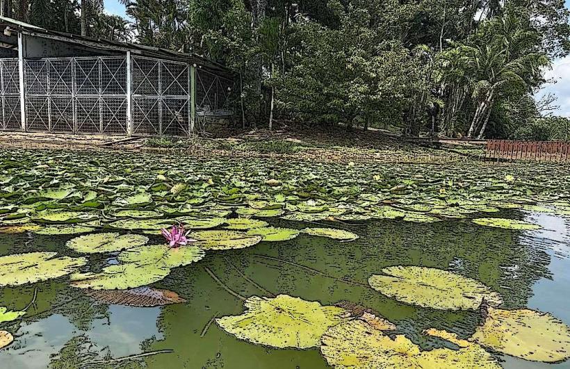
Playa Blanca is a coastal area situated near Livingston, Guatemala.
This location is characterized by its sandy shoreline and proximity to the Caribbean Sea.
Visual Characteristics
The beach consists of light-colored sand. The water color is typically a clear blue-green. The shoreline is bordered by tropical vegetation, including palm trees.
Location & Access Logistics
Playa Blanca is located approximately 10 kilometers east of Livingston. Access is primarily by boat from Livingston. Local boat operators offer transport services, with journeys taking approximately 30-45 minutes. There is no direct road access. Limited parking is available at the departure points in Livingston.
Historical & Ecological Origin
The area is part of the coastal plain of Guatemala, formed by alluvial deposits from rivers flowing into the Caribbean Sea. Ecologically, it is a tropical coastal environment.
Key Highlights & Activities
Swimming is possible in the sea. Sunbathing on the sand is a primary activity. Observation of local marine and bird life is available.
Infrastructure & Amenities
Basic amenities may include a small number of local food stalls or vendors, particularly during peak seasons. Restroom facilities are not consistently available and can be rudimentary. Cell phone signal is generally weak or non-existent.
Best Time to Visit
The best months for visiting are typically from November to April, coinciding with the dry season. Mid-morning offers good lighting for photography before the sun reaches its zenith. High tide is generally preferred for swimming.
Facts & Legends
Local Garifuna folklore speaks of the area being a traditional gathering place for ceremonies. A specific tip for visitors is to carry insect repellent, especially during dawn and dusk, due to the presence of mosquitoes.
Nearby Landmarks
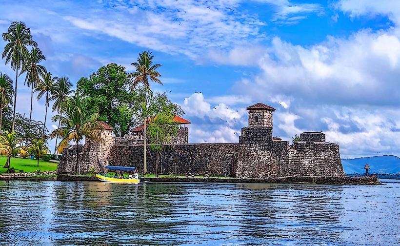
- 10km West: Livingston Town Center
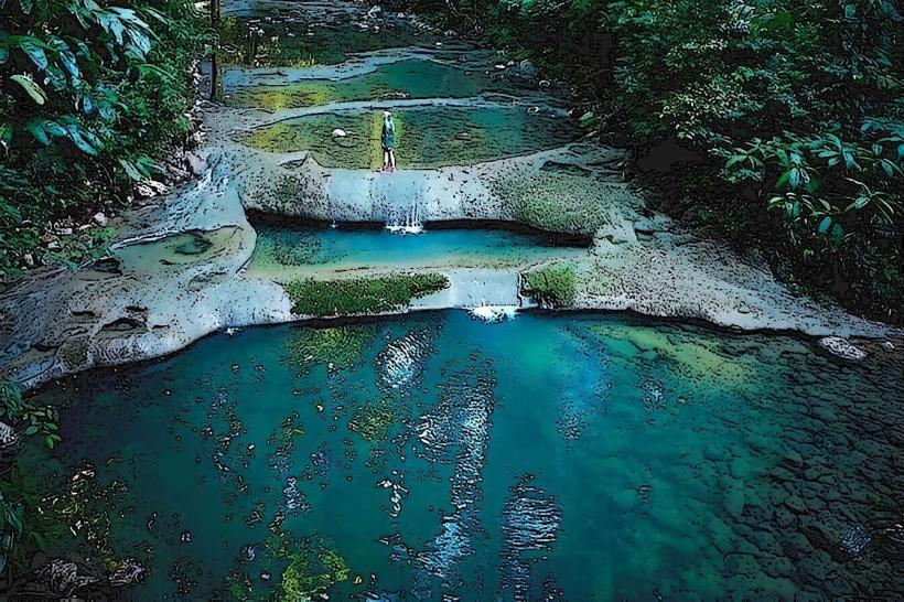
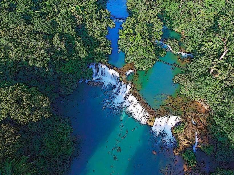
- 12km Southwest: Siete Altares Waterfalls
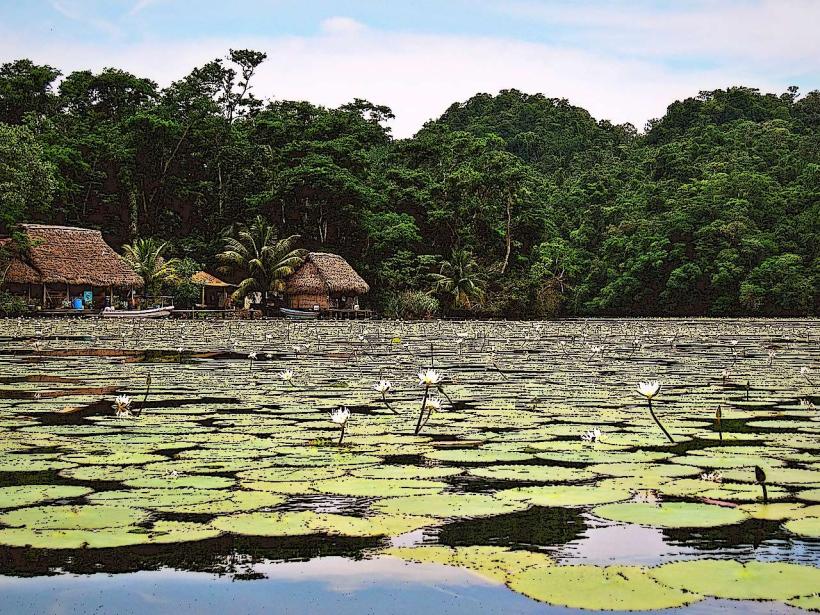
- 15km Northwest: Rio Dulce National Park Entrance