Information
Landmark: Las ConchasCity: Livingston
Country: Guatemala
Continent: North America
Las Conchas, Livingston, Guatemala, North America
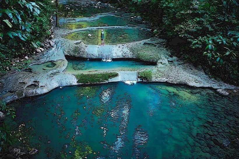
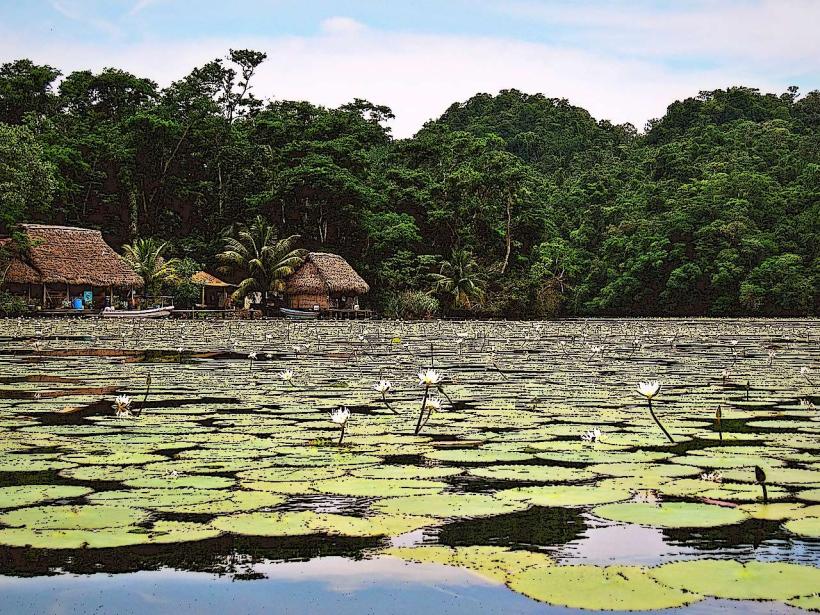
Las Conchas is a series of waterfalls and natural pools located in the Izabal Department of Guatemala, approximately 15 kilometers west of Livingston.
Visual Characteristics
The site features multiple cascades of clear, cool water flowing over limestone rock formations. The water pools at various levels, creating distinct swimming areas. Surrounding vegetation is dense, primarily tropical rainforest, with a variety of tree species and undergrowth.
Location & Access Logistics
Access is via a unpaved road branching off Highway CA-13, approximately 15 kilometers from Livingston. The road is rough and may require a 4x4 vehicle, especially during the rainy season. Local mototaxis or private vehicles can be hired in Livingston. Parking is available at designated informal areas near the entrance. No direct public transport serves the site.
Historical & Ecological Origin
Las Conchas is a natural geological formation resulting from the erosion of limestone by the river over millennia. The area is part of the Motagua River basin's watershed, characterized by karst topography.
Key Highlights & Activities
Swimming in the natural pools is the primary activity. Visitors can explore the different levels of waterfalls and pools. Hiking along the riverbanks is possible, though trails are not formally maintained.
Infrastructure & Amenities
Basic amenities include a small number of informal food stalls operated by local vendors near the main access point. Restrooms are rudimentary. Shade is provided by the surrounding forest canopy. Cell phone signal is intermittent to non-existent.
Best Time to Visit
The best time of day for photography is mid-morning to early afternoon when sunlight penetrates the canopy. The dry season, from November to April, offers the most stable access conditions. Water levels are generally consistent year-round, but can be higher and faster-flowing after heavy rainfall.
Facts & Legends
Local lore suggests that the pools possess restorative properties. A specific tip for visitors is to wear water shoes, as the submerged rocks can be slippery.
Nearby Landmarks
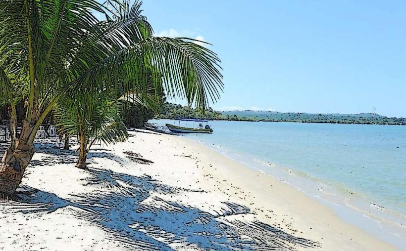
- Río Dulce National Park (25km Southwest)
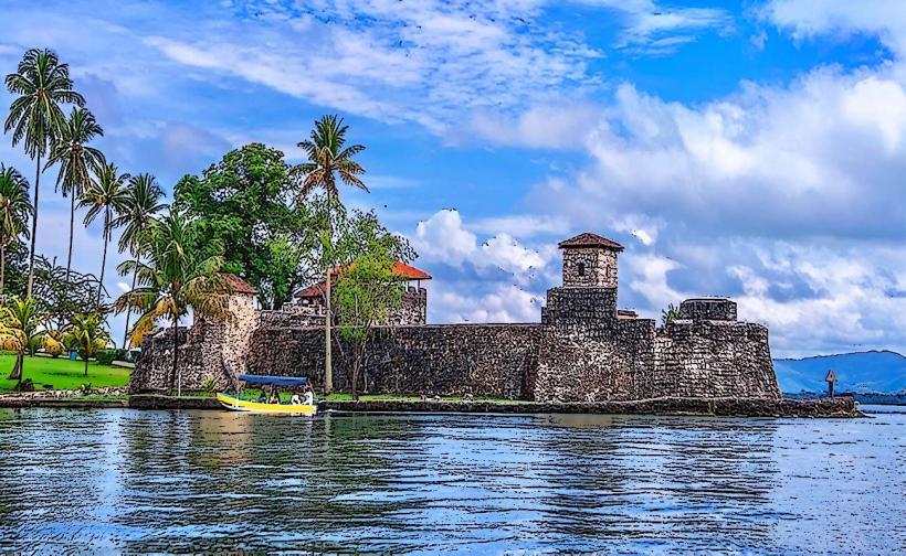
- Castillo de San Felipe de Lara (28km Southwest)
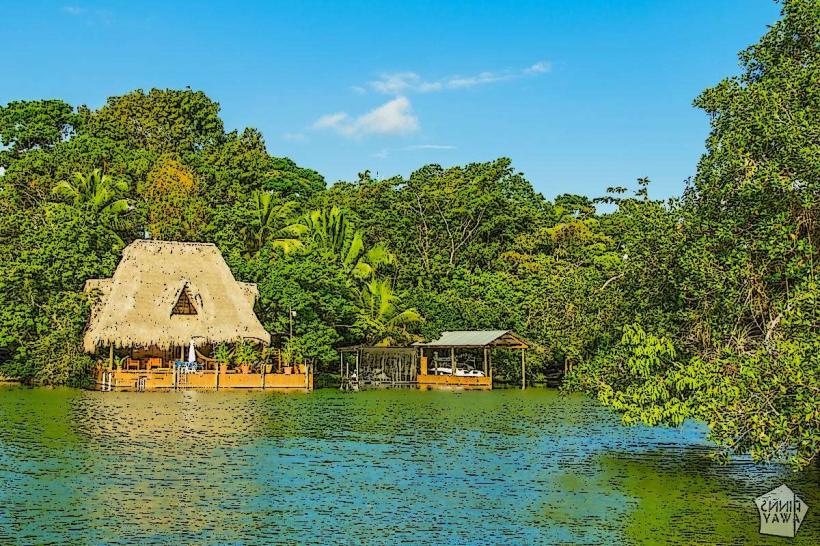
- Livingston (15km East)
- Quiriguá Archaeological Park (40km West)