Information
Landmark: Embalse de PaoCity: Valencia City
Country: Venezuela
Continent: South America
Embalse de Pao, Valencia City, Venezuela, South America
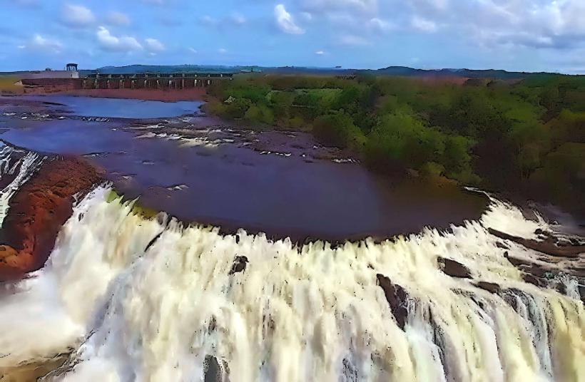
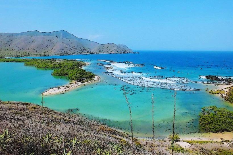
The Embalse de Pao is a reservoir located in the state of Carabobo, Venezuela. It serves as a significant water source for the region.
Visual Characteristics
The reservoir's water body is characterized by its irregular shoreline, reflecting the surrounding topography. The water color varies from deep blue to greenish hues depending on depth and sediment load. The terrain surrounding the reservoir consists of rolling hills with moderate vegetation cover, primarily composed of grasses and scattered trees.
Location & Access Logistics
The Embalse de Pao is situated approximately 40 kilometers southwest of Valencia City. Access is primarily via the regional highway, Carretera Nacional 1, which connects to local access roads leading directly to the reservoir. Parking is available at designated points along the access roads, though it is informal. Public transport options are limited; bus routes typically terminate in nearby towns, requiring onward travel by taxi or private vehicle.
Historical & Ecological Origin
The Embalse de Pao was constructed in the mid-20th century as part of a larger water management project to supply water to Valencia and surrounding agricultural areas. The dam was engineered to impound water from the Pao River. Ecologically, it is a man-made freshwater lake situated within a tropical dry forest ecosystem.
Key Highlights & Activities
Activities at the Embalse de Pao are primarily focused on water-based recreation and observation. Fishing is permitted in designated areas. Birdwatching is a common activity due to the presence of various avian species attracted to the water. Boat access is possible for recreational purposes, with launch points available at specific access areas.
Infrastructure & Amenities
Basic infrastructure is minimal. Restrooms are not consistently available. Shade is limited to natural tree cover in some peripheral areas. Cell phone signal (4G/5G) is intermittent and generally weak within the immediate vicinity of the reservoir. No food vendors are permanently stationed at the site; visitors typically bring their own provisions.
Best Time to Visit
The best time of day for photography is during the early morning or late afternoon when the sun angle provides softer light. The dry season, from December to April, generally offers more stable weather conditions. There are no specific tide requirements as it is a freshwater reservoir.
Facts & Legends
A local anecdote suggests that during periods of exceptionally low water levels, remnants of submerged structures from the pre-dam era become visible, fueling stories of forgotten settlements. The reservoir's capacity is a critical factor in the water security of the Valencia metropolitan area.
Nearby Landmarks
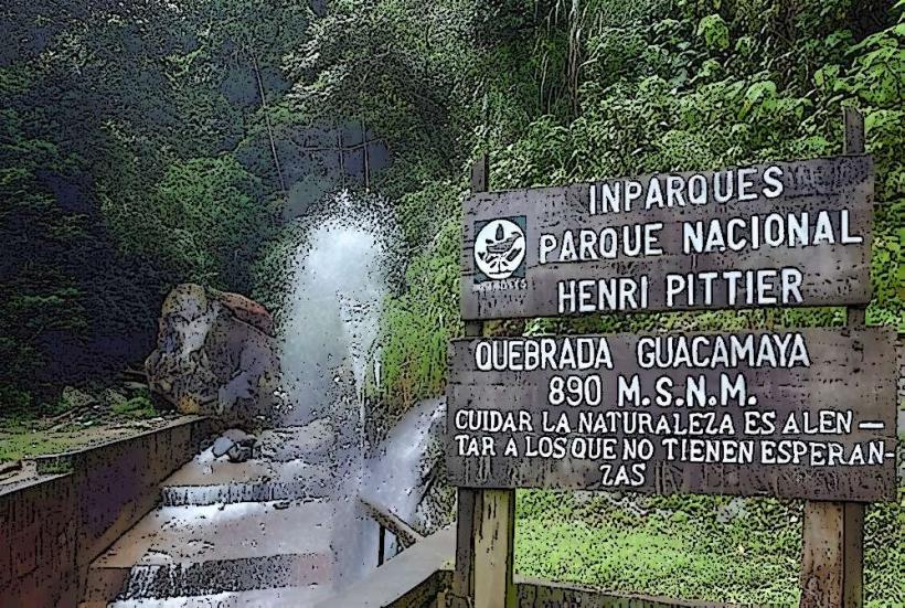
- Parque Nacional Henri Pittier (25km Northeast)
- Laguna de Valencia (30km Northeast)
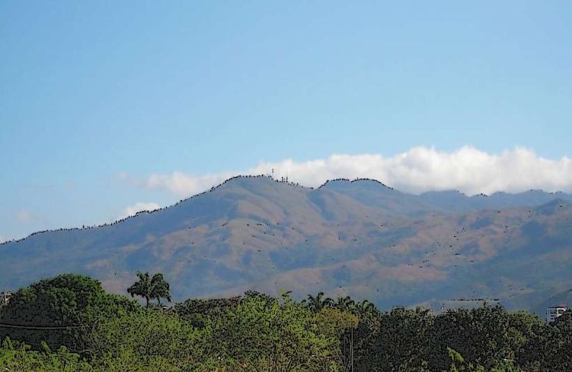
- Cerro El Copey (15km West)
- Ciudad de Valencia (40km Northeast)