Information
Landmark: Parque Nacional San EstebanCity: Valencia City
Country: Venezuela
Continent: South America
Parque Nacional San Esteban, Valencia City, Venezuela, South America
Parque Nacional San Esteban is a protected area located in the state of Carabobo, Venezuela, encompassing a significant portion of the coastal mountain range.
This national park preserves a diverse ecosystem of tropical dry forest and cloud forest, alongside significant historical ruins.
Visual Characteristics
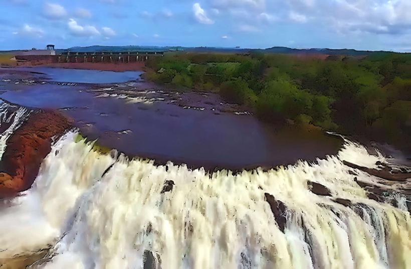
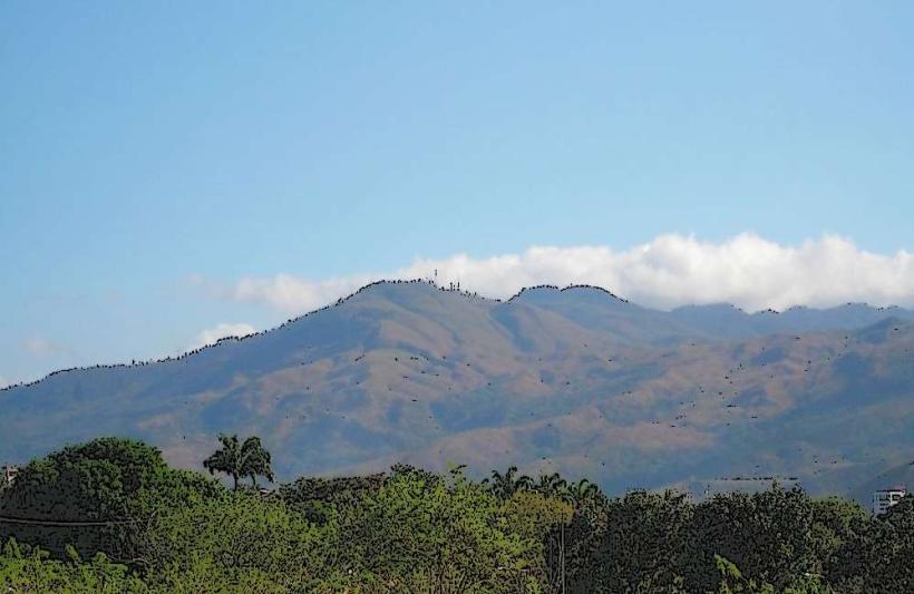
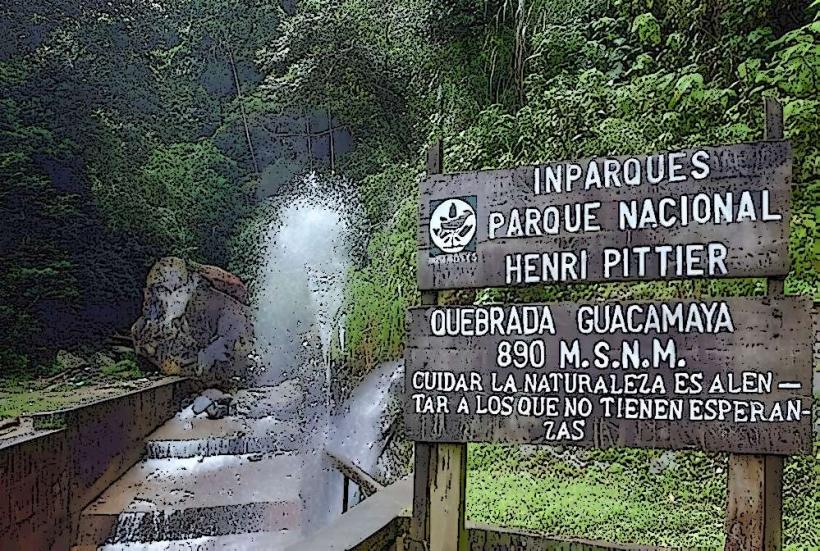
The park features rugged mountainous terrain with elevations ranging from 200 to 1,800 meters above sea level. Vegetation varies from dense tropical dry forest at lower altitudes, characterized by thorny shrubs and deciduous trees, to humid cloud forest at higher elevations with moss-covered trees and epiphytes. Several rivers and streams traverse the landscape, forming waterfalls and natural pools. The park's geological composition includes metamorphic rocks and sedimentary formations.
Location & Access Logistics
Parque Nacional San Esteban is situated approximately 20 kilometers southwest of Valencia City. Access is primarily via the Carretera Nacional 1 (Valencia-Puerto Cabello highway). The main entrance is located near the town of San Esteban. From Valencia, take the Carretera Nacional 1 heading west for approximately 15 kilometers. Turn off at the sign for San Esteban. Parking is available at designated areas near the park entrance and at some trailheads. Public transport options are limited; local buses operate between Valencia and San Esteban, from where a short taxi ride or walk is required to reach the park's primary access points.
Historical & Ecological Origin
The park was established on June 27, 1987, to protect the natural resources and historical heritage of the region. Ecologically, it represents a transition zone between coastal dry forests and Andean cloud forests. Historically, the area contains remnants of pre-Hispanic indigenous settlements and colonial-era infrastructure, including the ruins of the San Juan de la Cruz fort and the old San Esteban aqueduct, which were vital for the region's development during the colonial period.
Key Highlights & Activities
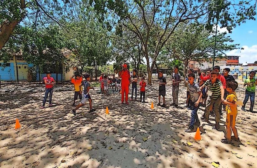
Activities include hiking on marked trails such as the Sendero de la Cascada (Waterfall Trail) and the Sendero Histórico (Historical Trail). Swimming is possible in designated natural pools. Birdwatching is a popular activity due to the park's diverse avian population. Exploration of the ruins of the San Juan de la Cruz fort is permitted. Photography of the natural landscapes and historical structures is encouraged.
Infrastructure & Amenities
Basic infrastructure includes marked trails, some picnic areas, and informational signage. Restrooms are available at the main entrance and at some key points within the park. Shade is provided by the forest canopy in many areas. Cell phone signal is intermittent and generally weak within the park boundaries. Food vendors are typically not present inside the park; visitors are advised to bring their own provisions. Water sources within the park should be treated before consumption.
Best Time to Visit
The best time of day for photography is generally in the early morning or late afternoon when the sunlight is less direct, highlighting the textures of the vegetation and rock formations. The dry season, from December to April, offers more predictable weather conditions with less rainfall, making hiking more accessible. The wet season, from May to November, can bring heavy downpours, potentially affecting trail conditions and visibility.
Facts & Legends
A notable historical oddity is the presence of the ruins of the San Juan de la Cruz fort, a defensive structure built in the 17th century to protect the port of Puerto Cabello from pirate attacks. Local legends speak of hidden treasures buried by pirates in the caves and ravines of the park, though no verifiable evidence supports these claims.
Nearby Landmarks
- Castillo de San Felipe (15km Northeast)
- Puerto Cabello (18km Northeast)
- Jardín Botánico de Valencia (22km East)
- Playa Waikiki (25km Northeast)
- Parque Nacional Henri Pittier (30km East)