Information
Landmark: Parque Nacional Henri PittierCity: Valencia City
Country: Venezuela
Continent: South America
Parque Nacional Henri Pittier, Valencia City, Venezuela, South America
Parque Nacional Henri Pittier is a protected natural area located in Venezuela, encompassing portions of Aragua and Carabobo states. It is the oldest national park in Venezuela, established in 1937.
Visual Characteristics
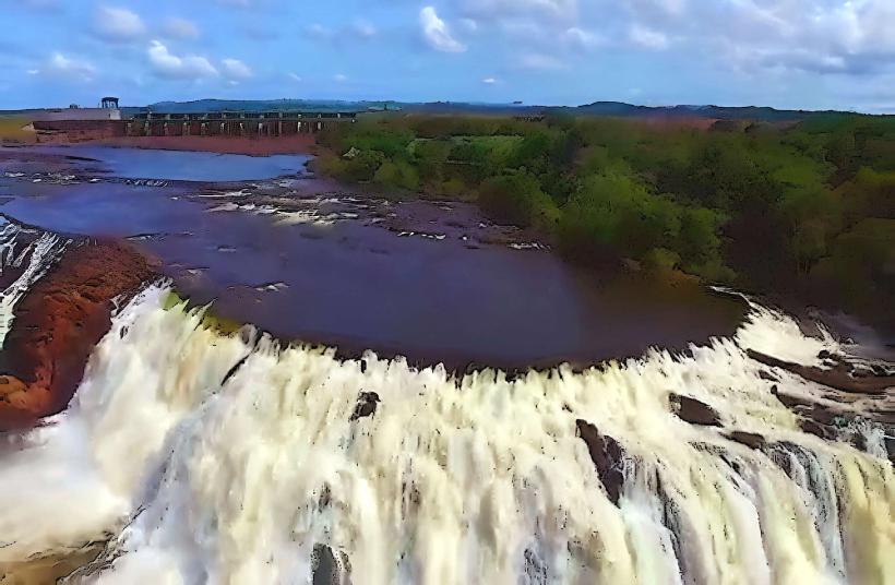
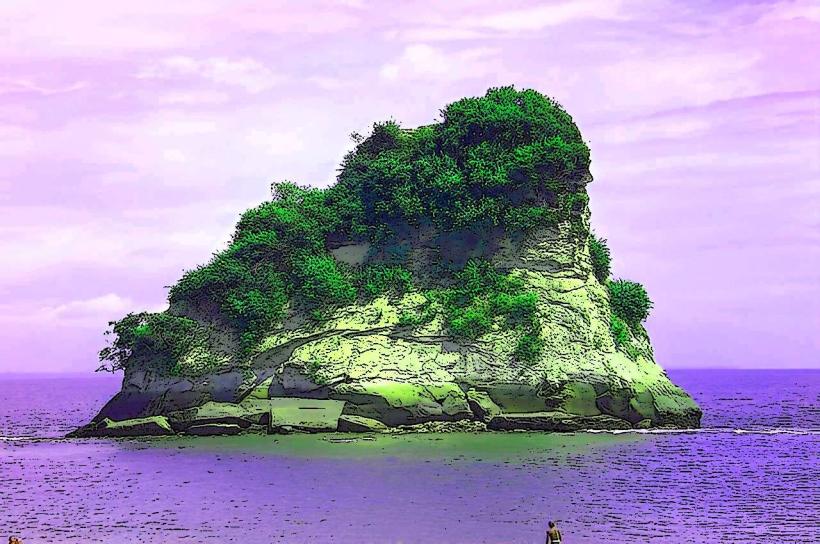
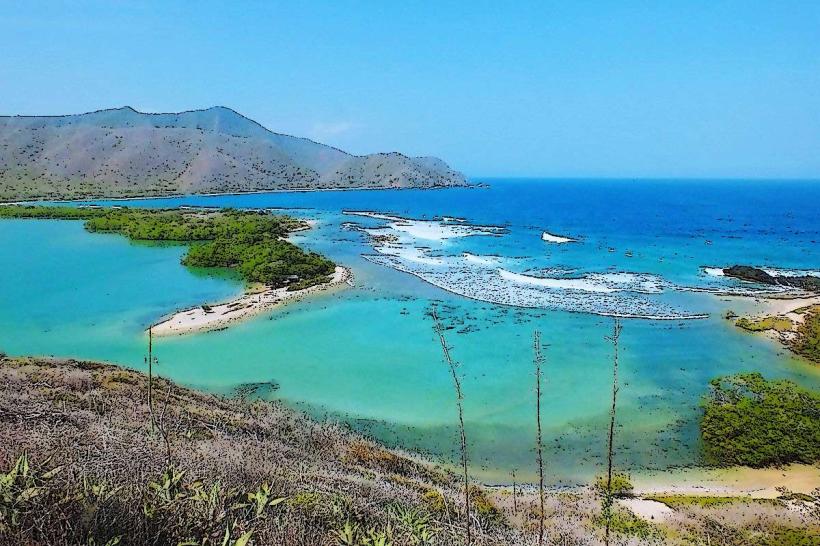
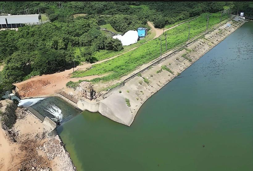
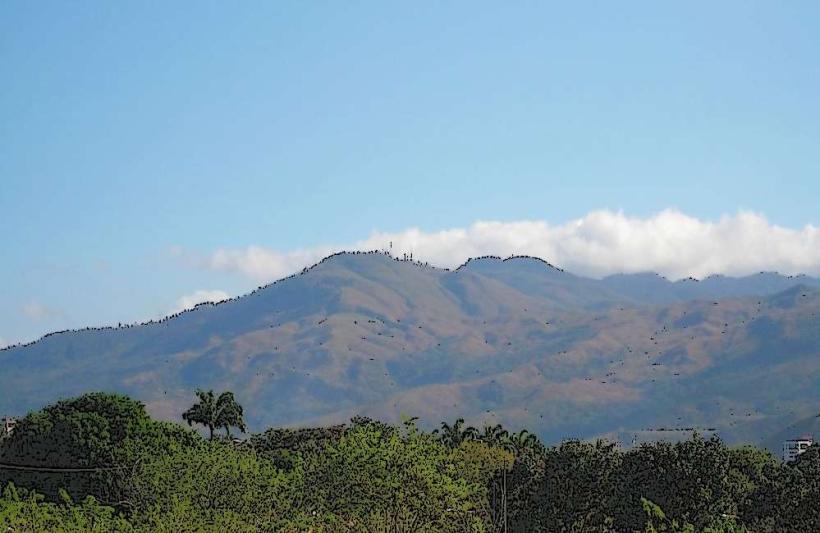
The park features a diverse topography ranging from coastal plains to mountainous cloud forests. Elevations reach over 2,400 meters (7,874 feet). Vegetation includes dense tropical rainforest, cloud forest flora with abundant epiphytes, and coastal scrub. The coastline is characterized by sandy beaches and rocky outcrops. Rivers and streams are present throughout the mountainous regions.
Location & Access Logistics
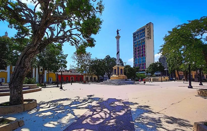
The park is situated along the central Venezuelan coast, north of Valencia City. Access from Valencia City is primarily via Carretera Nacional 1 (Troncal 1) heading north towards Maracay. The park entrance is approximately 20 kilometers from Valencia City. Limited parking is available at designated trailheads and visitor centers. Public transport options are scarce within the park itself; local buses operate along the main highway but do not penetrate deep into the park's interior.
Historical & Ecological Origin
Established on February 13, 1937, as Parque Nacional Rancho Grande, it was renamed in honor of Henri Pittier, a Swiss biologist and geographer who extensively studied the region's biodiversity. The park was created to protect the diverse ecosystems and endemic species of the Cordillera de la Costa. Ecologically, it represents a transition zone between marine and montane environments, supporting a wide array of flora and fauna.
Key Highlights & Activities
Hiking is possible on marked trails such as the Sendero El Triunfo and Sendero Las Cocuizas. Birdwatching is a primary activity, with over 500 species recorded. Wildlife observation for mammals like monkeys and sloths is also a possibility. Coastal areas offer opportunities for beach access and swimming at designated points. Photography of cloud forest landscapes and diverse plant life is recommended.
Infrastructure & Amenities
Basic infrastructure includes a few marked trails, some with rudimentary signage. Restrooms are available at the main visitor center near Rancho Grande. Shade is abundant within the forest canopy. Cell phone signal is intermittent and generally unavailable in remote areas of the park. Food vendors are not present within the park; visitors should carry their own provisions.
Best Time to Visit
The dry season, from December to April, offers more predictable weather for outdoor activities. The wet season, from May to November, brings increased rainfall, particularly in the afternoons. For photography, early morning hours (6:00 AM - 9:00 AM) provide optimal lighting in the cloud forest, with mist often present. Coastal areas are best visited during daylight hours.
Facts & Legends
The Rancho Grande Biological Station, located within the park, was intended to be a hotel but was never completed and was later converted into a research facility. Local folklore speaks of spirits inhabiting the dense cloud forests, particularly around the higher elevations.
Nearby Landmarks
- Maracay City (15km South)
- Parque Nacional Guatopo (40km Southeast)
- Bahía de Cata (30km Northwest)
- Colonia Tovar (35km West)